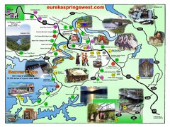
Eureka Springs West Tourist Map
Tourist map of Eureka Springs West on Beaver Lake in Eureka Springs, Arkansas. Shows points of...
390 miles away
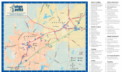
Auburn and Opelika City Map
Map of Auburn and Opelika, Alabama with tourist information.
391 miles away
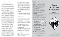
Hobbs State Park Map
Map of Hobbs State Park Conservation Area showing trail heads, roads, places of interests and...
392 miles away

Shawnee Trail Map
394 miles away
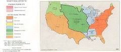
Territorial Expansion in Eastern United States...
395 miles away
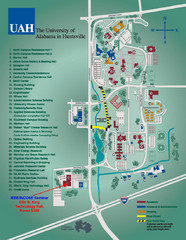
University of Alabama in Huntsville Map
Campus Map
395 miles away
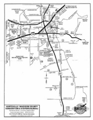
Huntsville City Map
City map of Huntsville, Alabama
396 miles away
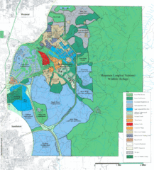
Mcclellan Land Use Map
"When the last note of taps played and the garrison flag was lowered at Fort McClellan in...
397 miles away
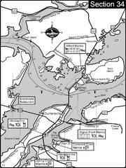
Guntersville, AL Tennessee River/Lake...
For boating navigational information and river road travel along the Tennessee River. This section...
397 miles away
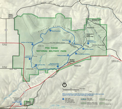
Pea Ridge National Military Park Map
397 miles away
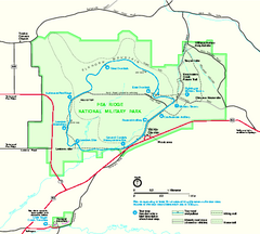
Pea Ridge National Military Park Official Map
Official NPS map of Pea Ridge National Military Park in Arkansas. The park is open year round 8-5...
397 miles away
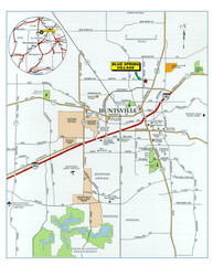
Huntsville, Alabama City Map
397 miles away
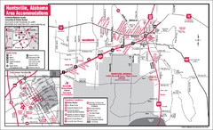
Huntsville Alabama Tourist Map
Map of Huntsville, Alabama showing hotels and streets for the downtown area.
397 miles away
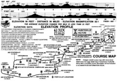
Rocket City Marathon Elevation Map
Course Map and Elevation Profile of the Rocket City Marathon in Huntsville, AL
397 miles away
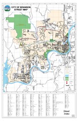
Branson Street Map
Street map of Branson, Missouri. With street index.
398 miles away

Mustang Island, Texas State Park Facility and...
398 miles away

Mustang Island, Texas State Park Map
399 miles away
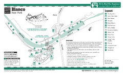
Blanco, Texas State Park Map
399 miles away
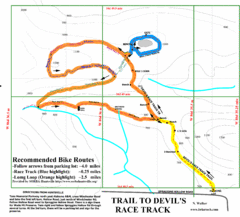
Wade Mountain Map
Recommended Bike Routes for Wade Mountain including the trail to Devil's Race Track
400 miles away
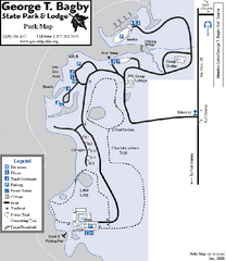
George T. Bagby State Park Map
Map of park with detail of trails and recreation zones
401 miles away
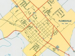
Floresville City Map
Street map of Floresville
401 miles away
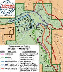
Monte Sano State Park Bike Routes Map
Recommended Biking Routes for Monte Santo with Easy to difficult routes marked.
401 miles away
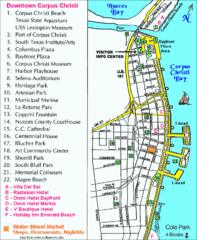
Downtown Corpus Christi Map
Tourist map of downtown Corpus Christi, with detail of local attractions
403 miles away
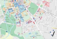
Corpus Christi, Texas Tourist Map
403 miles away

Corpus Christi, Texas Map
Tourist map of Corpus Christi, Texas, and the surrounding area. Shows museums, parks, marinas and...
404 miles away
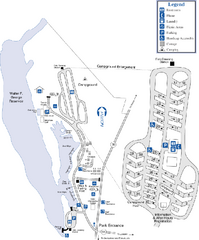
Florence Marina State Park Map
Map of park with detail of trails and recreation zones
406 miles away
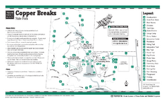
Copper Breaks, Texas State Park Facility and...
407 miles away
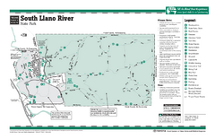
South Llano, Texas State Park Facility and Trail...
408 miles away
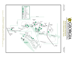
Kolomoki Mounds State Park Map
Map of park with detail of trails and recreation zones
408 miles away
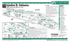
Lyndon B. Johnson State Park Facility and Trail...
409 miles away

Guntersville Lake Map
409 miles away
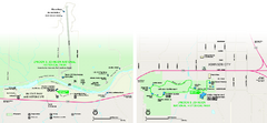
Lyndon B. Johnson National Historical Park...
Official NPS map of Lyndon B. Johnson National Historical Park in Texas. The park is open...
409 miles away
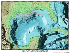
Gulf of Mexico sea floor Map
409 miles away
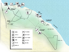
Three Rivers State Park Map
Map of park with detail of recreation zones
409 miles away
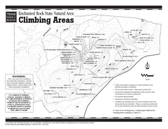
Enchanted Rock, Texas State Park Climbing Map
410 miles away
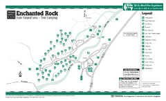
Enchanted Rock, Texas State Park Camping Map
410 miles away
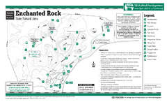
Enchanted Rock, Texas State Park Facility and...
410 miles away
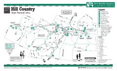
Hill Country, Texas State Park Facility and Trail...
411 miles away
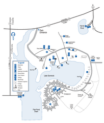
Seminole State Park Map
Map of park with detail of trails and recreation zones
412 miles away
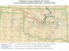
Oklahoma County Map
412 miles away

