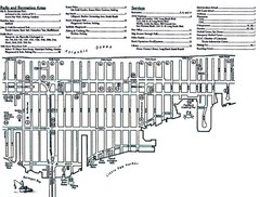
Ship Bottom, NJ Map
49 miles away
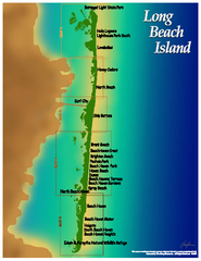
Long Beach Island, New Jersey Map
49 miles away
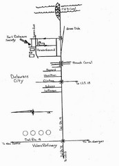
Delaware City Map
City map of Delaware City with Fort Delaware Society highlighted
50 miles away
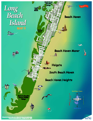
Beach Haven, New Jersey Map
50 miles away

White Clay Creek Preserve map
White Clay Creek Preserve State Park recreation and trail map
51 miles away
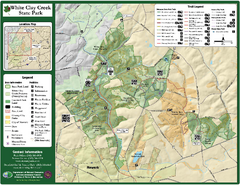
White Clay Creek State Park Map
Clear map and legend of this beautiful state park.
52 miles away

Lewis Morris Park Trail Map
52 miles away
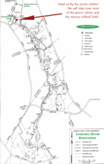
Loantaka Park Map
52 miles away
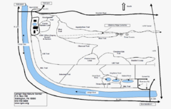
Trails Around Lehigh, PA Map
53 miles away
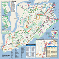
Staten Island Bus Map
Official Bus Map of Staten Island. Shows all routes.
53 miles away

University of Delaware Map
University of Delaware Campus Map. All buildings shown.
53 miles away

Staten Island Subway/Railway Map
54 miles away
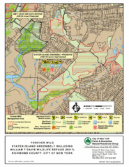
Staten Island Greenbelt Map
54 miles away

Downtown Morriston Map
55 miles away
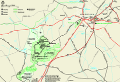
Morristown National Historical Park Official Map
Official NPS map of Morristown National Historical Park in New Jersey. Shows all areas. Tours...
55 miles away
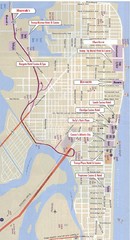
Atlantic City Tourist Map
56 miles away

Casinos in Atlantic City, New Jersey Map
Tourist map of Atlantic City, New Jersey, showing the locations of casinos, as well as shopping and...
56 miles away
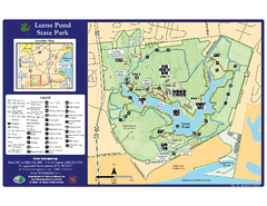
Lums Pond State Park Map
Clear legend and map of this wonderful state park.
56 miles away
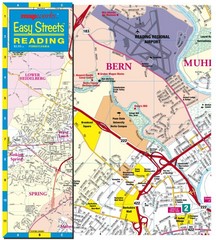
Reading, Pennsylvania City Map
57 miles away
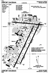
Newark Liberty International Airport Map
57 miles away
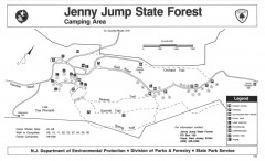
Jenny Jump State Forest map
Trail and camping map of Jenny Jump State Forest in New Jersey.
57 miles away
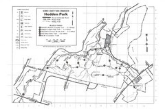
Hedden Park Map
Hedden County Park Trail Map
58 miles away
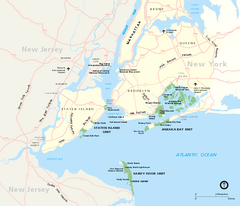
Gateway National Recreation Area Map
Park map of lands in the NPS Gateway National Recreation Area in New York and New Jersey. Shows...
59 miles away
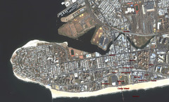
Coney Island Map
Aerial photo Coney Island map
59 miles away

Oriel College Map
60 miles away
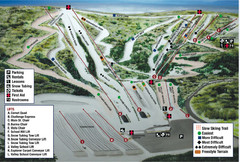
Blue Mountain Ski Area Ski Trail Map
Trail map from Blue Mountain Ski Area.
60 miles away
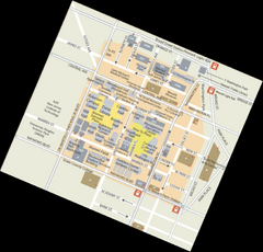
Rutgers University Map
60 miles away
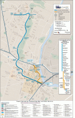
Newark Light Rail system Map
Newark Light rail system
62 miles away
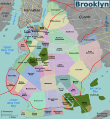
Brooklyn, Neighborhoods Map
62 miles away
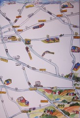
Handrawn Lancaster County Map
Guide to Amish country in Pennsylvania
62 miles away
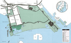
Liberty State Park Map
Map of Liberty State Park, New Jersey on the New York Harbor and next to Ellis Island. Shows...
62 miles away
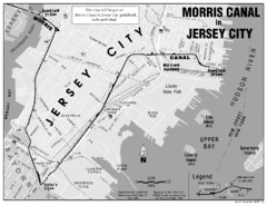
Jersey City Map
62 miles away
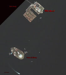
Ellis Island and Statue of Liberty Map
Aerial map of Ellis Island and the Statue of Liberty
63 miles away

NYC Biking Route Map (Part of Queens, Brookyln...
Official biking route map of part of Queens, Brookyln and Staten Island
63 miles away
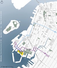
IKEA Brooklyn Map
Location map and map of bus routes and access streets to IKEA in Brooklyn, NY.
63 miles away
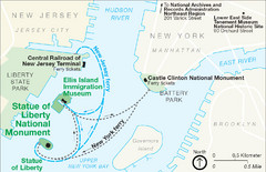
Statue of Liberty National Monument Map
Official NPS map of Statue of Liberty National Monument. Shows Statue of Liberty, Ellis Island, and...
63 miles away
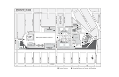
Brooklyn College Campus Map
Brooklyn College Campus Map. All buildings shown.
63 miles away
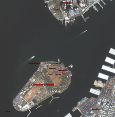
Governor's Island Map
Aerial photo view map of Governor's Island, New York
63 miles away
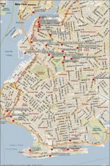
Brooklyn Attractions map
Map of attractions and points of interest in Brooklyn, New York.
63 miles away
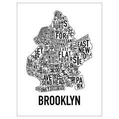
Brooklyn Neighborhood Art Map
Artistic neighborhood map of Brooklyn
64 miles away

