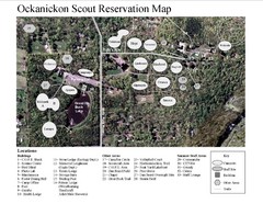
Camp Okanickon Scout Reservation Map
Location Map for Boy Scout Camp in Pennsylvania
27 miles away
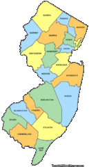
New Jersey Counties Map
27 miles away
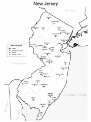
New Jersey Airports Map
27 miles away
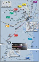
New Jersey Meadowlands Transportation Guide Map
27 miles away
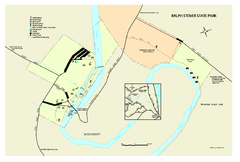
Ralph Stover State Park map
Detailed recreation map for Ralph Stover State Park in Pennsylvania
27 miles away
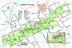
Evansburg State Park map
Detailed map of Evansburg State Park in Pennsylvania
27 miles away
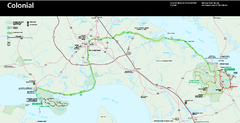
Colonial National Historical Park Official Map
Official NPS map of Colonial National Historical Park in Virginia. The Historic Jamestowne...
27 miles away
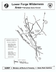
Lower Forge camp area map
Camp area map for the Lower Forge area in Wharton State Forest in New Jersey
28 miles away
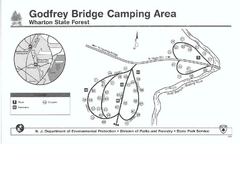
Godfrey Bridge Campground Map
Map of Godfrey Bridge Campground in Wharton State Forest, New Jersey.
29 miles away
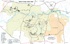
Ridley Creek State Park Map
Detailed recreation map for Ridley Creek State Park in Pennsylvania
30 miles away

Nockamixon State Park Map
Detailed recreation map for Nockamixon State Park in Pennsylvania.
32 miles away
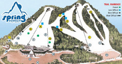
Spring Mountain Ski Area Ski Trail Map
Trail map from Spring Mountain Ski Area.
32 miles away
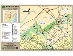
Alapocas Run State Park Map
Detailed map and clear legend for this nice state park.
32 miles away

Delaware Canal State Park map
Detailed map of Delaware Canal State Park in Pennsylvania. Long dimension.
33 miles away
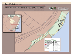
Fox Point State Park Map
Clear and simple state park map.
34 miles away
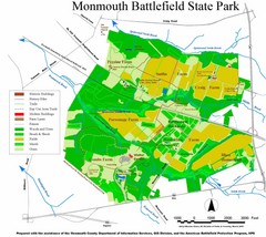
Monmouth Battlefield State Park Map
34 miles away
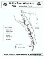
Mullica River camp area map
Camp area map for the Mullica River camp area in Wharton State Forest, New Jersey.
34 miles away
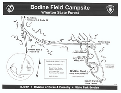
Bodine Field camp area map
Map of Bodine Field camp area in Wharton State Forest, New Jersey.
35 miles away
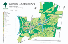
Colonial Park, Somerset, NJ Map
37 miles away
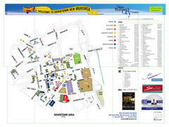
New Brunswick City Map
City map of New Brunswick, New Jersey with tourist information
37 miles away
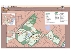
Bellevue State Park Map
Beautiful park with easy to read details.
38 miles away
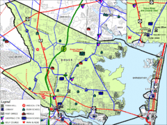
Tom's River, New Jersey City Map
39 miles away
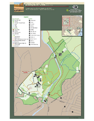
Brandywine Creek State Park Map
Easy to read map and legend of this beautiful state park.
40 miles away
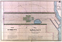
Antique map of Egg Harbor City from 1857
Antique map of Egg Harbor City, New Jersey from 1857.
40 miles away
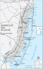
Barnegat Bay region trail map
Trail map of the Barnegat Bay region of New Jersey.
41 miles away
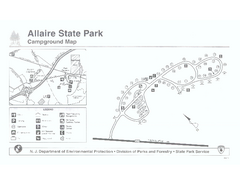
Allaire State Park campground map
Campground map for Allaire State Park in Vermont
41 miles away
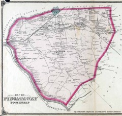
Antique map of Piscataway from 1876
Historic map of Piscataway, New Jersey from 1876.
42 miles away
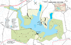
Marsh Creek State Park map
Detailed map of Marsh Creek State Park in Pennsylvania.
43 miles away
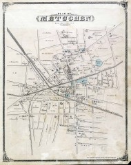
Antique map of Metuchen from 1876
Historic map of Metuchen, New Jersey from 1876
43 miles away
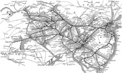
Reading Railroad System Map
Reading Railroad system map
45 miles away
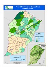
Chester County Tree Cover Map
Poster map of tree cover in Chester County, Pennsylvania
45 miles away
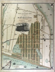
Antique map of Point Pleasant from 1880
Antique map of Point Pleasant, New Jersey from c. 1880.
46 miles away
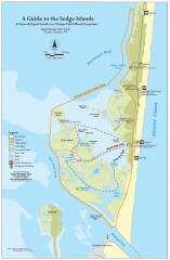
Island Beach State Park Canoe and Kayak map
Canoe and kayak guide to the Sedge islands in Island Beach State Park near Barnegat Bay, NJ. The...
46 miles away
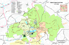
French Creek State Park map
Detailed recreation map for French Creek State Park in Pennsylvania
47 miles away
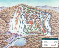
Bear Creek Ski Trail Map
Official ski trail map of Bear Creek ski area from the 2007-2008 season.
47 miles away
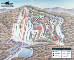
Bear Creek Ski & Recreation Area Ski Trail Map
Trail map from Bear Creek Ski & Recreation Area.
47 miles away
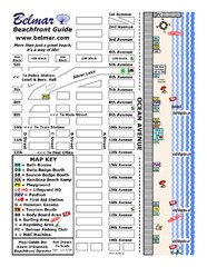
Belmar Tourist Map
Tourist map of Belmar, New Jersey beachfront. Shows beach services.
47 miles away

Harvey Cedars, New Jersey Map
48 miles away
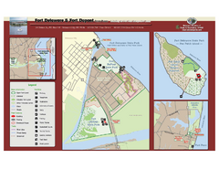
Fort Delaware State Park Map
Nice park on a beautiful island.
49 miles away
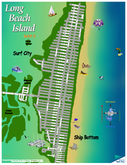
Ship Bottom, New Jersey Map
49 miles away

