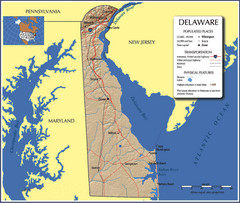
Delaware Tourist Map
91 miles away
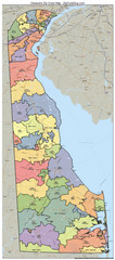
Delaware Zip Code Map
Check out this Zip code map and every other state and county zip code map zipcodeguy.com.
91 miles away
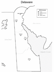
Delaware Airports Map
91 miles away
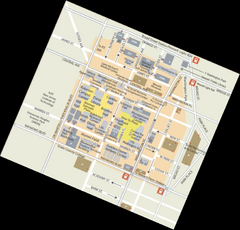
Rutgers University Map
92 miles away

R. B. Winter State Park map
Recreation map for R. B. Winter State Park in Pennsylvania
92 miles away
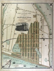
Antique map of Point Pleasant from 1880
Antique map of Point Pleasant, New Jersey from c. 1880.
92 miles away
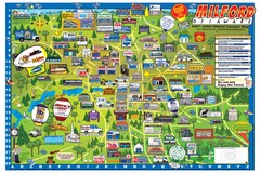
Milford Delaware Cartoon Map
92 miles away
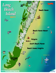
Beach Haven, New Jersey Map
92 miles away
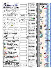
Belmar Tourist Map
Tourist map of Belmar, New Jersey beachfront. Shows beach services.
92 miles away

Casinos in Atlantic City, New Jersey Map
Tourist map of Atlantic City, New Jersey, showing the locations of casinos, as well as shopping and...
93 miles away
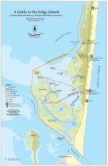
Island Beach State Park Canoe and Kayak map
Canoe and kayak guide to the Sedge islands in Island Beach State Park near Barnegat Bay, NJ. The...
93 miles away
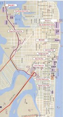
Atlantic City Tourist Map
93 miles away
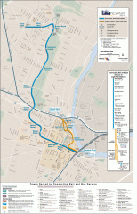
Newark Light Rail system Map
Newark Light rail system
93 miles away
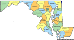
Maryland Counties Map
93 miles away
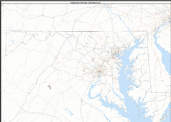
Maryland Zip Code Map
Check out this Zip code map and every other state and county zip code map zipcodeguy.com.
93 miles away
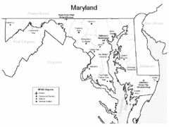
Marylands Airports Map
93 miles away
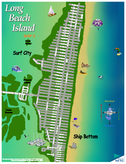
Ship Bottom, New Jersey Map
93 miles away
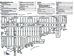
Ship Bottom, NJ Map
93 miles away

United States Naval Academy Map
Campus map
93 miles away

Caledonia State Park map
Detailed map of Caledonia State Park area in Pennsylvania.
93 miles away
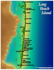
Long Beach Island, New Jersey Map
93 miles away

Harvey Cedars, New Jersey Map
93 miles away
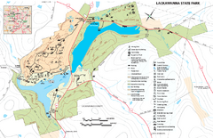
Lackawanna State Park Map
Detailed map of Lackawanna State Park in Pennsylvania.
94 miles away
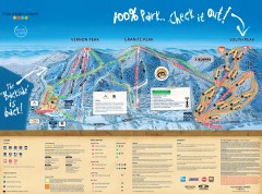
Mountain Creek Ski Trail Map
Official ski trail map of Mountain Creek ski area from the 2007-2008 season. (formerly Vernon...
94 miles away

Mountain Creek South Ski Trail Map
Trail map from Mountain Creek.
94 miles away
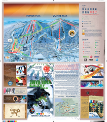
Mountain Creek North Ski Trail Map
Trail map from Mountain Creek.
94 miles away
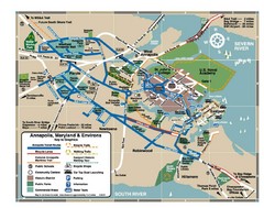
Annapolis Tourist map
95 miles away
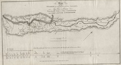
Wyoming and Lackawanna Valleys Map
Railbed from the coal mine at Carbondale to the canal on the Lackawaxen River. Historical map.
95 miles away

Ski Big Bear Ski Trail Map
Trail map from Ski Big Bear.
95 miles away

Hidden Valley Ski Trail Map
Trail map from Hidden Valley.
95 miles away
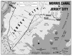
Jersey City Map
96 miles away

Reeds Gap State Park map
Detailed recreation map of Reeds Gap State Park in Pennsylvania
96 miles away
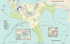
Worlds End State Park map
Detailed recreation map for Worlds End State Park in Pennsylvania
96 miles away
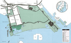
Liberty State Park Map
Map of Liberty State Park, New Jersey on the New York Harbor and next to Ellis Island. Shows...
96 miles away
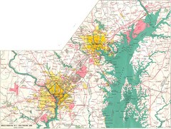
Washington D.C and Baltimore, MD City Map
96 miles away
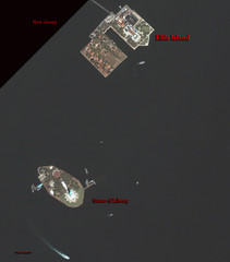
Ellis Island and Statue of Liberty Map
Aerial map of Ellis Island and the Statue of Liberty
97 miles away
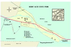
Mont Alto State Park Map
Detailed recreation map for Mont Alto State Park in Pennsylvania
97 miles away
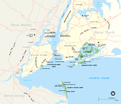
Gateway National Recreation Area Map
Park map of lands in the NPS Gateway National Recreation Area in New York and New Jersey. Shows...
97 miles away
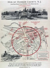
Antique map of Jersey City from 1925
Antique map of Jersey City, New Jersey from 1925.
97 miles away
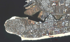
Coney Island Map
Aerial photo Coney Island map
97 miles away

