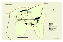
Samuel S. Lewis State Park map
Recreation map for Samuel Lewis State Park in Pennsylvania
0 miles away
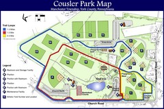
Cousler Park Map
12 miles away
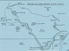
Mason Dixon Trail Map
Hand drawn map of the Mason-Dixon Trail. The 193 mile long Mason-Dixon Trail starts on the...
13 miles away
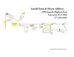
Amish Farm and House Route Map
Map showing directions to the Amish Farm and House with locations of key buildings and streets in...
19 miles away
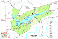
Gifford Pinchot State Park Map
Detailed map of Gifford Pinchot State Park in Pennsylvania.
19 miles away

Susquehannock State Park map
Detailed recreation map for Susquehannock State Park in Pennsylvania
19 miles away
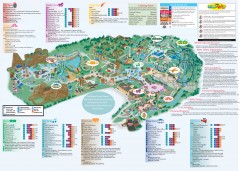
Hershey Park Official Map
Official 2007 map of the Hershey Theme Park in Hershey, PA
21 miles away
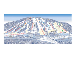
Ski Roundtop Ski Trail Map
Trail map from Ski Roundtop.
22 miles away
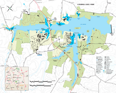
Codorus State State Park map
Detailed recreation map for Codorus State Park in Pennsylvania
23 miles away
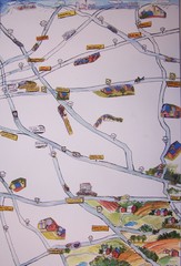
Handrawn Lancaster County Map
Guide to Amish country in Pennsylvania
25 miles away
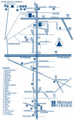
South Pennsylvania Restaurant Map
26 miles away
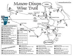
Mason-Dixon Wine Trail Map
Map of the Mason-Dixon Wine Trail, showing area wineries, historical sites, and lodging.
29 miles away
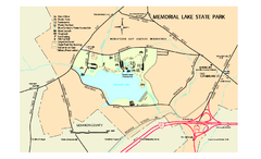
Memorial Lake State Park map
Detailed map of Memorial Lake State Park in Pennsylvania
30 miles away

Oriel College Map
34 miles away
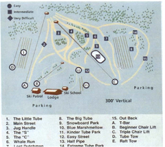
Blue Marsh Ski Area Ski Trail Map
Trail map from Blue Marsh.
36 miles away

Gettysburg Battlefield Map
38 miles away
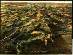
Gettysburg Battlefield in 1913 Map
Bird's eye view map of the Gettysburg Battlefield in 1913 by the Pennsylvania Railroad. From...
39 miles away
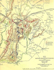
Gettysburg Battlefield map July 2, 1863
Map of the Union and Confederate positions in the Battle of Gettysburg July 2, 1863. "On July...
39 miles away
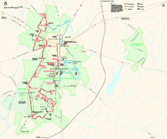
Gettysburg National Military Park Official Map
Official NPS map of Gettysburg National Military Park in Virginia. The park is open daily from 6...
39 miles away
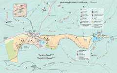
Pine Grove Furnace State Park map
Detailed recreation map for Pine Grove Furnace State Park in Pennsylvania
40 miles away
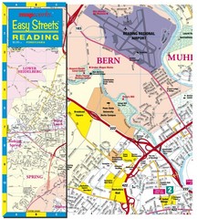
Reading, Pennsylvania City Map
40 miles away
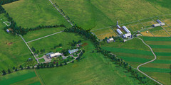
Eisenhower Farm National Historic Site Map
Visitor map of former US president Dwight D. Eisenhower's farm, a National Historic Site. 1.5...
41 miles away
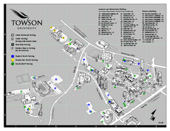
Towson University Map
Towson University Campus Map. All areas shown.
41 miles away
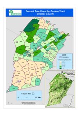
Chester County Tree Cover Map
Poster map of tree cover in Chester County, Pennsylvania
42 miles away
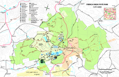
French Creek State Park map
Detailed recreation map for French Creek State Park in Pennsylvania
44 miles away
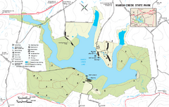
Marsh Creek State Park map
Detailed map of Marsh Creek State Park in Pennsylvania.
44 miles away

White Clay Creek Preserve map
White Clay Creek Preserve State Park recreation and trail map
45 miles away
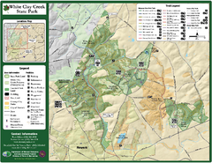
White Clay Creek State Park Map
Clear map and legend of this beautiful state park.
46 miles away

Little Buffalo State Park map
Detailed map of Little Buffalo State Park in Pennsylvania.
46 miles away
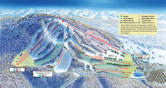
Liberty Mountain Ski Trail Map
Trail map from Liberty Mountain.
47 miles away

Boyd Big Tree Preserve Conservation Area map
Detailed map of Boyd Big Tree Preserve Conservation Area in Pennsylvania.
47 miles away

University of Delaware Map
University of Delaware Campus Map. All buildings shown.
47 miles away
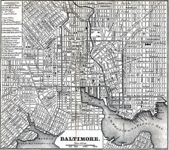
Antique Map of Baltimore from 1869
Antique map of Baltimore Maryland from Appletons' Hand-Book of American Travel. Published in...
48 miles away
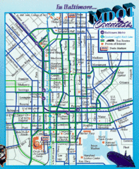
Baltimore, Maryland City Map
49 miles away
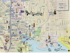
Baltimore Tourist Map
49 miles away
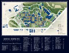
The Johns Hopkins University Map
The Johns Hopkins University Campus Map. All buildings shown.
49 miles away
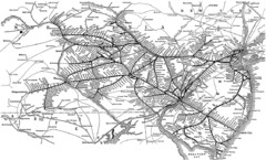
Reading Railroad System Map
Reading Railroad system map
49 miles away
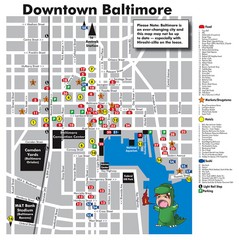
Downtown Baltimore Tourist Map
Map of Food, Hotels and Major Attractions surrouding the Baltimore Convention Center in Baltimore...
49 miles away
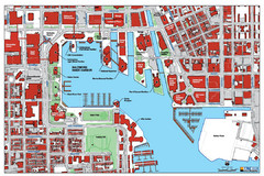
Baltimore Harbor Map
Guide to Baltimore, Maryland harbor
49 miles away

Colonel Denning State Park map
Detailed map of Colonel Dening State Park in Pennsylvania
50 miles away

