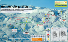
Chapa Verde Ski Trail Map
Trail map from Chapa Verde.
1375 miles away
Near Chapa Verde, Rancagua, Chile
683 × 421•537 KB•PNG
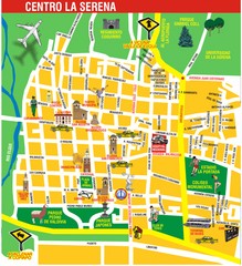
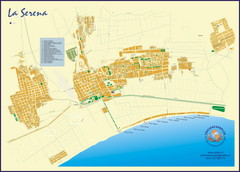
La Serena Center Tourist Map
Tourist map of city center
1383 miles away
Near La Serena, Chile
1241 × 1358•444 KB•JPG
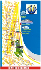
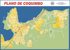
Coquimbo Center Touist Map
Tourist map of city center
1388 miles away
Near Coquimbo, Chile
933 × 1594•331 KB•JPG
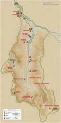
Rio de los Cipreses River Map
Rio de los Cipreses in Antofagasta, Chile
1389 miles away
Near Rio de los Cipreses
700 × 1416•59 KB•JPG
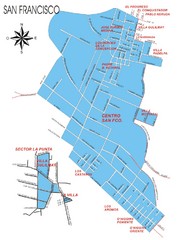
San Francisco Map
Street map of town
1404 miles away
Near San Francisco, Chile
1311 × 1746•284 KB•JPG
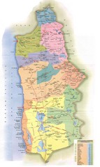
Tarapaca Region Political Map
1405 miles away
Near Tarapaca, Chile
1131 × 1902•236 KB•JPG
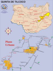
Quinta de Tilcoco Map
Street map of town
1406 miles away
Near Quinta de Tilcoco, Chile
2193 × 2947•739 KB•JPG
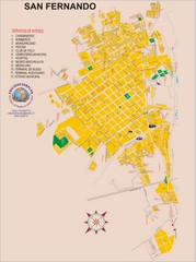
San Fernando Tourist Map
Tourist street map of city
1410 miles away
Near San Fernando, Chile
2193 × 2947•1.0 MB•JPG
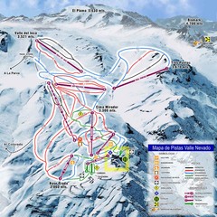
Valle Nevado Ski Resort Trail Map
Trail Map for Valle Nevado Ski Resort in Chile. Map includes lifts, mountain elevations and ski...
1414 miles away
Near valle nevado, chile
1476 × 1476•242 KB•JPG
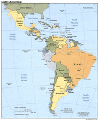
Latin America Map
1415 miles away
Near Latin America
1078 × 1310•259 KB•GIF
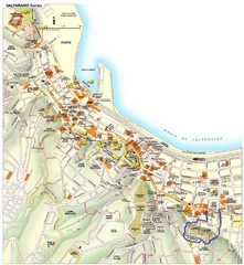
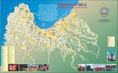
Valparaiso Tourist Map
Tourist map of central Valparaiso, Chile. Shows restaurants, bars, and other points of interest...
1425 miles away
Near Valparaiso, Chile
1850 × 2007•827 KB•JPG

Northern Chile Tourist Map
Provinces in Northern Chile
1428 miles away
Near Chile
1734 × 1800•501 KB•JPG
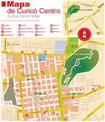
Curico Center Tourist Map
Tourist map of town center
1431 miles away
Near Curico, Chile
1104 × 1287•317 KB•JPG

Santa Cruz South Map
Street map of city
1432 miles away
Near Santa Cruz, Chile
2193 × 2947•960 KB•JPG

Santa Cruz North Map
Street map of city
1432 miles away
Near Santa Cruz, Chile
1641 × 2311•524 KB•JPG
page 6 of 379

