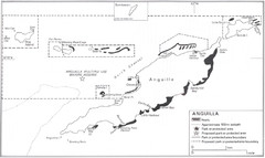
Anguilla Coral Reefs Map
Coral reef map of Anguilla Island.
3315 miles away
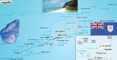
Anguilla Map
3315 miles away
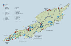
Anguilla Map
3315 miles away
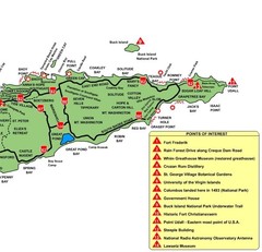
East St. Croix Map
3316 miles away
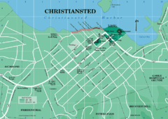
Christiansted Map
3317 miles away
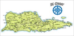
St. Croix Island Map
Overview map of island of St. Croix, US Virgin Islands. Shows districts, roads, and towns.
3317 miles away
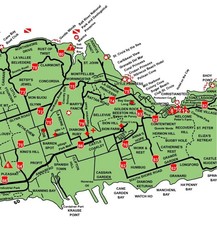
Central St. Croix Map
3318 miles away
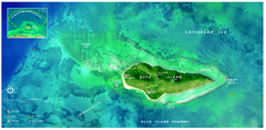
Buck Island Reef National Monument Map
Official NPS park map of Buck Island Reef National Monument off island of St. Croix in the US...
3319 miles away
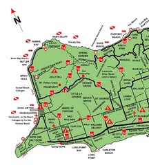
West St. Croix Map
3319 miles away
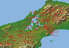
Panama Canal Authority (ACP) Meterological...
Panama Canal Authority (ACP) Meterological Monitoring stations are identified on map of Panama
3326 miles away
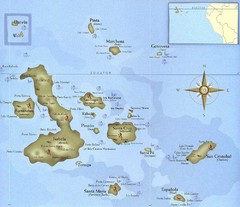
Galapagos Islands Tourist Map
Tourist map of the Galapagos Islands, Ecuador. Shows recreational activity locations.
3343 miles away
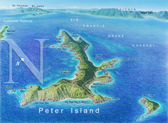
Peter Island BVI Map
3355 miles away
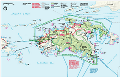
Virgin Islands National Park Map
Official NPS map of Virgin Islands National Park in the Virgin Islands. Map shows main island and...
3357 miles away
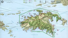
Virgin Islands National Park Tourist Map
3358 miles away
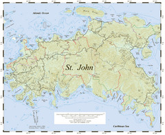
St. John Trail Map
Topographical trail map of St. John in the US Virgin Islands.
3358 miles away
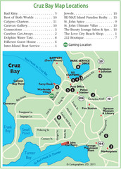
Cruz Bay St. John Map
3358 miles away
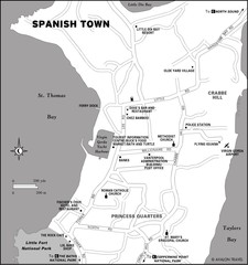
Spanish Town BVI Map
3358 miles away
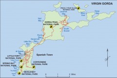
Map of Virgin Gorda
Map of Virgin Gorda in the British Virgin Islands. Shows national parks.
3358 miles away
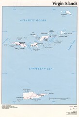
Map of the Virgin Islands
Map of the Virgin Islands
3359 miles away

Fogo Map
3360 miles away
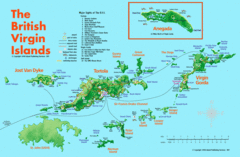
British Virgin Islands Tourist Map
Tourist map of British Virgin Islands with list of major attractions
3360 miles away
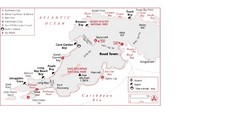
West Tortola Driving Tour Map
3360 miles away
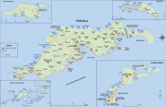
Map of Tortola Island
Tourist map of Tortola, the main island of the British Virgin Islands. Shows national parks and...
3361 miles away
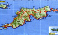
Tortola Island Map
3361 miles away
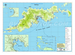
Tortola British Islands Tourist Map
Places of interest.
3361 miles away
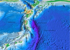
Atlantic Trench Bathymetric Map
3362 miles away
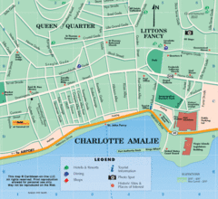
Charlotte Amalie U.S. Virgin Islands Map
3362 miles away
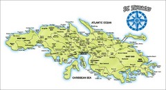
St. Thomas Island Map
Overview road map of island of St. Thomas in the U.S. Virgin Islands. Shows major roads, districts...
3362 miles away
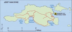
Jost Van Dyke map
Map of Jost Van Dyke island of the British Virgin Islands in the Caribbean.
3365 miles away

Map of Anegada
Map of Anegada island of the British Virgin Islands.
3374 miles away
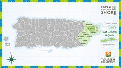
East Central Puerto Rico Map
3377 miles away

Isabela Island Map
3380 miles away

Galapagos Islands Map
3385 miles away
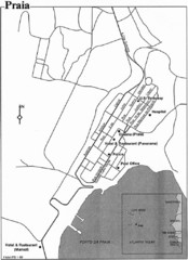
Praia City Map
City map of central Praia, Cape Verde Islands
3386 miles away
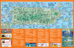
Puerto Rico Tourist Map
Map of island with detail of local tourist attractions
3390 miles away

Puerto Rico Tourist Map
Tourist map for Puerto Rico showing major roads, cities and the airport.
3392 miles away
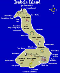
Isla Isabela Tourist Map
Tourist map of Isla Isabela in the Galapagos, Ecuador. Shows coastal features and wildlife.
3392 miles away
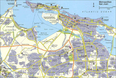
San Juan City Map
City Map of San Juan with information
3394 miles away
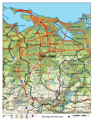
San Juan Road Map
Road map of San Juan, Puerto Rico area. Shows shaded elevation.
3394 miles away

