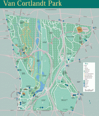
Van Cortlandt Park Trail Map
Trail map of Van Cortlandt Park in the Bronx. Covers 573 acres.
77 miles away
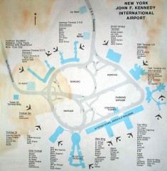
John F. Kennedy International Airport Map
Terminal and Road map of John F. Kennedy International Airport.
77 miles away
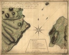
Oyster Bay and Huntington, Huntington Bay Map
A plan of the Narrows of Hells-gate in the East River, near which batteries of cannon and mortars...
77 miles away
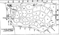
Flushing Cemetery Map
Map of the sections of Flushing Cemetery in Queens
78 miles away

Harvey Cedars, New Jersey Map
78 miles away
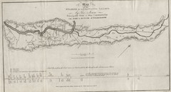
Wyoming and Lackawanna Valleys Map
Railbed from the coal mine at Carbondale to the canal on the Lackawaxen River. Historical map.
78 miles away
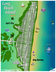
Ship Bottom, New Jersey Map
79 miles away
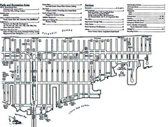
Ship Bottom, NJ Map
79 miles away
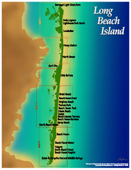
Long Beach Island, New Jersey Map
80 miles away
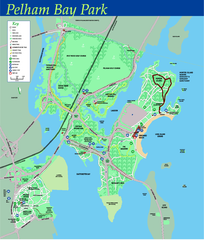
Pelham Bay Park NYC Map
Official detailed map of Pelham bay park, the largest park in New York City at 2,700 acres. Map...
80 miles away

City Island Street Map
Street map of City Island, New York
80 miles away
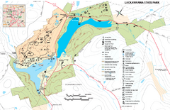
Lackawanna State Park Map
Detailed map of Lackawanna State Park in Pennsylvania.
80 miles away
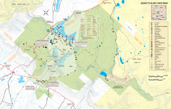
Ricketts Glen State Park map
Detailed recreation map of Ricketts Glen State Park in Pennsylvania
81 miles away
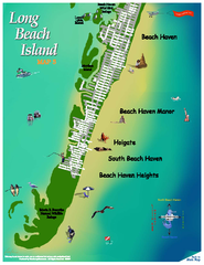
Beach Haven, New Jersey Map
82 miles away
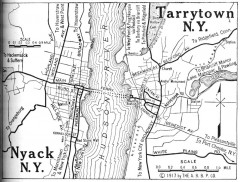
Antique map of Nyack and Tarrytown from 1917
Map of Nyack and Tarrytown, NY from Automobile Blue Book, 1917, Vol. 3
82 miles away
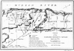
Harlem Hieghts Affair Map
Topography of the field during the battle on Sept 16 1776
85 miles away
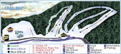
Holiday Mountain Ski Trail Map
Official ski trail map of Holiday Mountain ski area
87 miles away
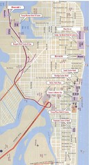
Atlantic City Tourist Map
87 miles away

Casinos in Atlantic City, New Jersey Map
Tourist map of Atlantic City, New Jersey, showing the locations of casinos, as well as shopping and...
87 miles away
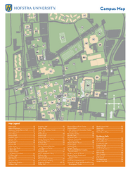
Hofstra University Campus Map
87 miles away
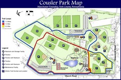
Cousler Park Map
88 miles away
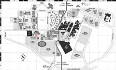
Nassau Community College Map
Campus Map
88 miles away
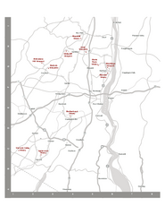
Shawangunk Wine Trail Map
Map of the Shawangunk Wine Trail on the Hudson River in New York. Shows all vineyards and wineries...
88 miles away
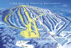
Elk Mountain Ski Trail Map
Trail map from Elk Mountain.
89 miles away
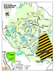
Blue Mountain Reservation Mountain Bike Trail Map
Mountain biking map of the Blue Mountain Reservation from the Westchester Mountain Biking...
89 miles away
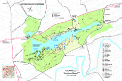
Gifford Pinchot State Park Map
Detailed map of Gifford Pinchot State Park in Pennsylvania.
91 miles away
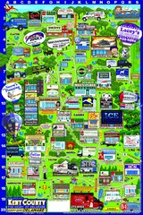
Kent County, Delaware Map
91 miles away

Dissolved Oxygen Concentrations and Trends Map
Delaware's Chesapeake Basin Dissolved Oxygen Concentrations and Trends showing increases and...
91 miles away
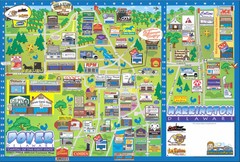
Dover Delaware Cartoon Map
91 miles away
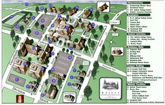
Wesley College Campus Map
Campus map of Wesley College in Dover, Delaware
91 miles away
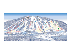
Ski Roundtop Ski Trail Map
Trail map from Ski Roundtop.
93 miles away

Milton State Park map
Detailed recreation map of Milton State Park in Pennsylvania
94 miles away
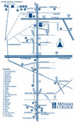
South Pennsylvania Restaurant Map
95 miles away
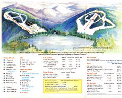
Mount Tone Ski Trail Map
Trail map from Mount Tone.
96 miles away
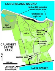
Caumsett State Park Map
Park map of Caumsett State Park on Long Island Sound, New York
98 miles away
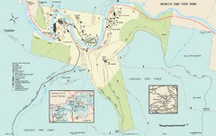
Worlds End State Park map
Detailed recreation map for Worlds End State Park in Pennsylvania
99 miles away
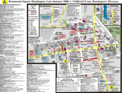
Huntington, New York Restaurant Map
99 miles away
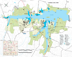
Codorus State State Park map
Detailed recreation map for Codorus State Park in Pennsylvania
100 miles away

Boyd Big Tree Preserve Conservation Area map
Detailed map of Boyd Big Tree Preserve Conservation Area in Pennsylvania.
101 miles away

Little Buffalo State Park map
Detailed map of Little Buffalo State Park in Pennsylvania.
103 miles away

