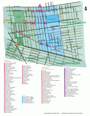
Clinton Hill Neighborhood map
Business and transportation map of the Clinton Hill neighborhood in Brooklyn, New York.
68 miles away
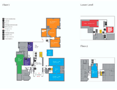
The Morgan Library Floor Plan, New York Map
The Morgan Library Floor Plan. Shows all floors and exhibits. Located at Madison Avenue and 36th...
68 miles away
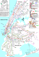
NYC Subway Map (unofficial)
Unofficial subway map of New York City. Created by SPUI.
68 miles away
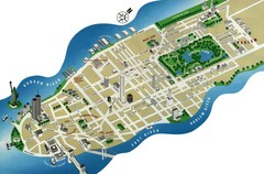
Manhattan Tourist Map
Simplified tourist map of Manhattan. Shows major NYC landmarks.
68 miles away
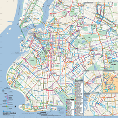
Brooklyn, New York Bus Map
Official MTA Bus Map of Brooklyn, New York. Shows all routes.
68 miles away
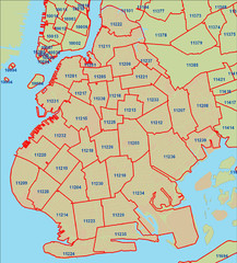
Brooklyn zip codes Map
68 miles away
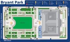
Map of Bryant Park
Map of Bryant Park in New York City
68 miles away
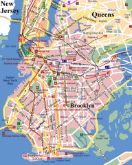
Brooklyn, Attractions Map
68 miles away

Manhattan Neighborhood map
Excellent New York City neighborhood map created by graphic designer Alexander Cheek
69 miles away
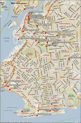
Brooklyn Attractions map
Map of attractions and points of interest in Brooklyn, New York.
69 miles away
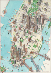
Manhattan New York Map
Aerial map of New York illustrated by UK illustrator Katherine Baxter.
69 miles away
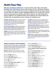
Floor Map of the Museum of Modern Art, New York
Official Floor Map of the MOMA in New York, NY. All floors and exhibits shown.
69 miles away
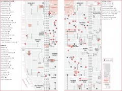
Midtown Manhattan, New York Map
Tourist map of midtown Manhattan in New York City, New York. Shows accommodations, restaurants, and...
69 miles away
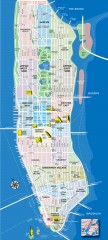
Manhattan Tourist Map
Tourist map of Manhattan, showing Museums, buildings of interest, and various neighborhoods.
69 miles away
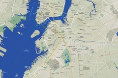
Brooklyn Map
69 miles away
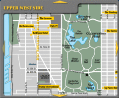
Upper West Side New York Hotel Map
69 miles away
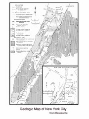
New York City Geological Map
Bedrock map of New York City
69 miles away
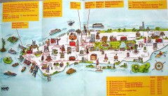
Manhattan Citysites Tour map
Map of the Citysites bus tour routes in Manhattan, New York.
69 miles away
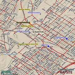
Scranton, Pennsylvania City Map
69 miles away
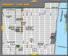
Midtown East Side New York City Map
69 miles away
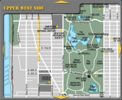
Upper West Side New York Tourist Map
69 miles away

Central Park, New York City Bike Map
69 miles away

Midtown East Side New York City Hotel Map
69 miles away

Upper West Side Map
printable map of Upper West Side, with major landmarks noted
69 miles away
Riverside Park Map
Map of Riverside Park, New York. Illustrates all recreational activities, trails, bus stops and...
69 miles away
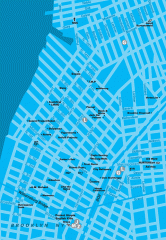
Williamsburg Art Gallery map
Map of Williamsburg and Greenpoint art galleries in Brooklyn, New York. Shows subway stops as well.
70 miles away
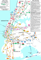
New York City Subway Map
Map of NYC subway transit system and stops
70 miles away

Upper West Side NYC Map 1879
Likely the first printed map of Manhattan's Upper West Side. Map is titled 'The West End...
70 miles away

Floor Plan of the Museum of Natural History, New...
Official Floor Plan of the Museum of Natural History in New York. All areas and exhibits shown.
70 miles away
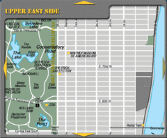
Upper East Side New York Tourist Map
70 miles away
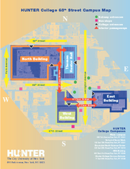
Hunter College Campus Map
Hunter College Campus Map. Located in New York City. Shows all areas.
70 miles away
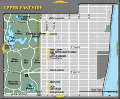
Maison Ave New York City Shopping Map
70 miles away

Topographical Atlas of the City of New York Map
Topographical Atlas of the City of New York including the annexed territory, showing original water...
70 miles away
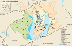
Frances Slocum State Park map
Detailed map of Frances Slocum State Park in Pennsylvania.
70 miles away
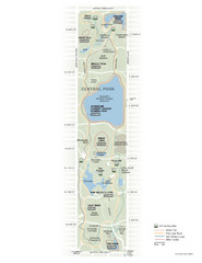
Central Park Fitness Map
Guide to fitness and training in Central Park, New York
70 miles away
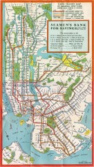
New York Subway Map, 1930
A New York City subway map from the 1930s
70 miles away
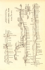
1904 New York City Subway Map
The New York City Subway Map in 1904
70 miles away
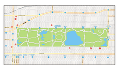
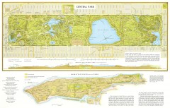
Central Park, New York Map
Central Park, New York map. A very detailed map with all roads, metro station and importand...
70 miles away
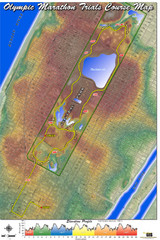
Olympic Trials Course Map
Elevation of the 2008 olympic trials marathon course in New York's Central Park.
70 miles away

