
Tuscarora State Park Map
Detailed recreation map for Tuscarora State Park in Pennsylvania
48 miles away
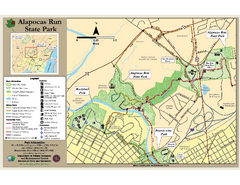
Alapocas Run State Park Map
Detailed map and clear legend for this nice state park.
49 miles away
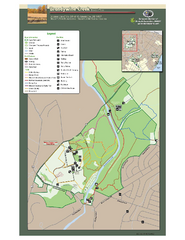
Brandywine Creek State Park Map
Easy to read map and legend of this beautiful state park.
49 miles away
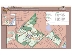
Bellevue State Park Map
Beautiful park with easy to read details.
49 miles away
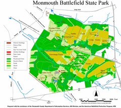
Monmouth Battlefield State Park Map
50 miles away
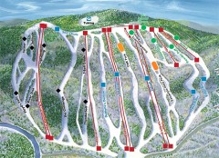
Jack Frost Ski Trail Map
Official ski trail map of Jack Frost ski area from the 2006-2007 season.
50 miles away
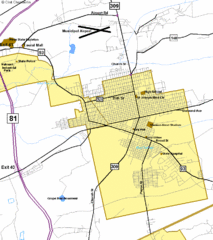
Hazelton Street Map
Clear and descriptive road map.
52 miles away
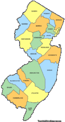
New Jersey Counties Map
52 miles away
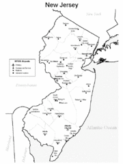
New Jersey Airports Map
52 miles away
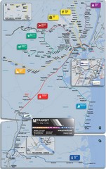
New Jersey Meadowlands Transportation Guide Map
52 miles away

Locust Lake State Park map
Detailed map of Locust Lake State Park in Pennsylvania
52 miles away

Atsion Campground Map
Campground map for Atsion Campsites in Wharton State Forest in NJ
53 miles away
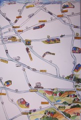
Handrawn Lancaster County Map
Guide to Amish country in Pennsylvania
54 miles away
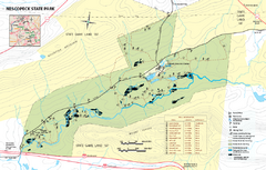
Nescopeck State Park map
Detailed recreation map of Nescopeck State Park in Pennsylvania.
55 miles away
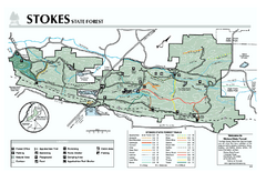
Stokes State Forest map
Trail map of Stokes State Park in New Jersey.
55 miles away

Goshen Pond camp area map
Camp area map for Goshen Pond in Wharton State Forest in New Jersey.
56 miles away
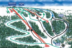
Eagle Rock Ski Trail Map
Official ski trail map of Eagle Rock Resort ski area from the 2007-2008 season.
56 miles away
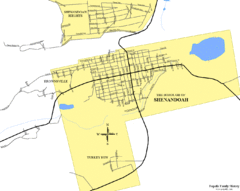
Shenandoah, Pennsylvania Map
57 miles away

Staten Island Subway/Railway Map
57 miles away
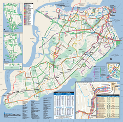
Staten Island Bus Map
Official Bus Map of Staten Island. Shows all routes.
57 miles away
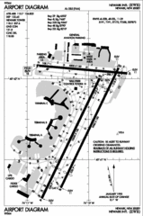
Newark Liberty International Airport Map
57 miles away

White Clay Creek Preserve map
White Clay Creek Preserve State Park recreation and trail map
58 miles away
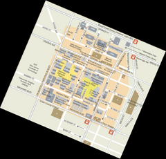
Rutgers University Map
59 miles away
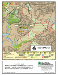
Staten Island Greenbelt Map
59 miles away
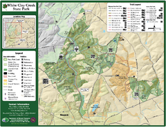
White Clay Creek State Park Map
Clear map and legend of this beautiful state park.
59 miles away
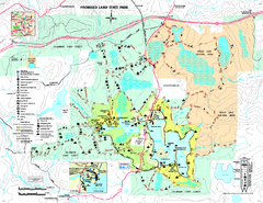
Promised Land State Park map
Detailed recreation map for Promised Land State Park in Pennsylvania
59 miles away
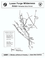
Lower Forge camp area map
Camp area map for the Lower Forge area in Wharton State Forest in New Jersey
59 miles away
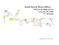
Amish Farm and House Route Map
Map showing directions to the Amish Farm and House with locations of key buildings and streets in...
59 miles away
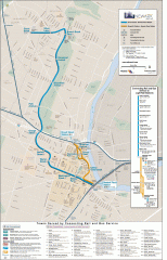
Newark Light Rail system Map
Newark Light rail system
60 miles away
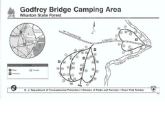
Godfrey Bridge Campground Map
Map of Godfrey Bridge Campground in Wharton State Forest, New Jersey.
60 miles away

University of Delaware Map
University of Delaware Campus Map. All buildings shown.
61 miles away
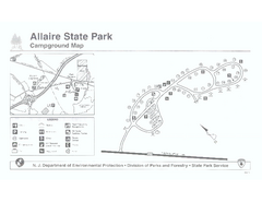
Allaire State Park campground map
Campground map for Allaire State Park in Vermont
61 miles away

Oriel College Map
61 miles away
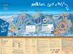
Mountain Creek Ski Trail Map
Official ski trail map of Mountain Creek ski area from the 2007-2008 season. (formerly Vernon...
62 miles away

Mountain Creek South Ski Trail Map
Trail map from Mountain Creek.
63 miles away
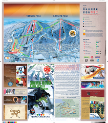
Mountain Creek North Ski Trail Map
Trail map from Mountain Creek.
63 miles away
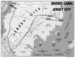
Jersey City Map
63 miles away
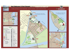
Fort Delaware State Park Map
Nice park on a beautiful island.
63 miles away

Hidden Valley Ski Trail Map
Trail map from Hidden Valley.
64 miles away
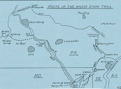
Mason Dixon Trail Map
Hand drawn map of the Mason-Dixon Trail. The 193 mile long Mason-Dixon Trail starts on the...
64 miles away

