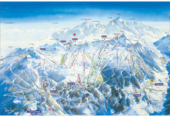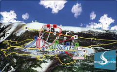
Mont Serein Ski Trail Map
Trail map from Mont Serein, which provides downhill skiing. This ski area has its own website.
799 miles away
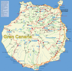
Gran Canaria Map
808 miles away
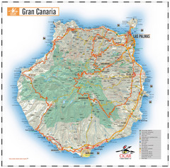
Gran Canaria Tourist Map
Tourist map of Gran Canaria Island, Spain. Shows tourist points of interest.
810 miles away
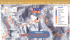
Le Fanget Ski Trail Map
Trail map from Le Fanget, which provides nordic skiing.
811 miles away
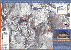
Le Fanget Ski Trail Map
Trail map from Le Fanget, which provides nordic skiing.
811 miles away
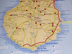
Gran Canaria Island Map
812 miles away
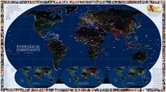
Evangelical Christianity World Map
Shows worldwide penetration of Evangelical Christianity. Insets show translation status and other...
817 miles away

Brittany region Map
817 miles away
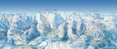
Val d’Allos—La Foux Ski Trail Map
Trail map from Val d’Allos—La Foux.
818 miles away
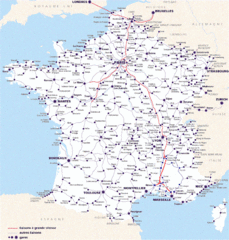
Map of SNCF National Railway Network in France
A SNCF map (Société Nationale des Chemins de Fer) showing the French train System...
820 miles away
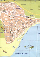
Playa Del Ingles Tourist Map
Places of interest.
820 miles away
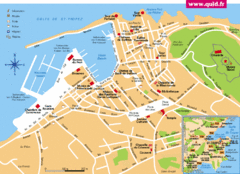
St. Tropez Tourist Map
Tourist map of Saint Tropez, France. Shows points of interest. Inset shows surrounding area.
821 miles away
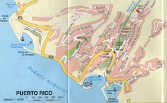
Puerto Rico Gran Canaria Map
City map of Puerto Rico, Gran Canaria. Scanned
824 miles away
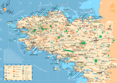
Brittany Tourist Map
Tourist map of province of Brittany in France. Shows ports, cathedrals, churches, chateaus, forts...
824 miles away

Chateaux of the Loire River Valley Map
Chateaus of the Loire River Valley region in France. Stretching from the Atlantic from Nantes to...
824 miles away
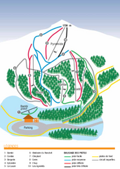
Valdrôme Ski Trail Map
Trail map from Valdrôme.
825 miles away
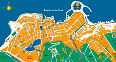
Puerto de la Cruz Tenerife Map
Street level map of Puerto de la Cruz, Tenerife showing a few tourist sites.
827 miles away
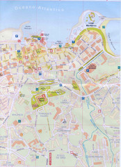
Puerto de la Cruz Tourist Map
827 miles away
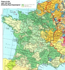
France Late 15th Century Map
France in the Late 15th Century (showing Royal Appanages)
827 miles away
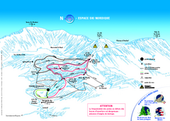
Grand Echaillon Ski Trail Map
Trail map from Grand Echaillon.
829 miles away
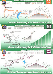
Beaufort Cycling Route Map
Three routes drawn and elevation gains shown for each cycling route in Beaufort, France's...
830 miles away
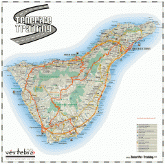
Tenerife Road Map
Detailed road map of Tenerife. Shows parks, peaks, and beaches
831 miles away
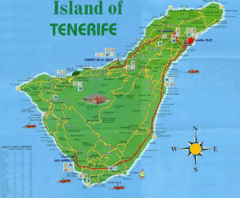
Tenerife Tourist Map
Tourist Map of Tenerife with cities, roads, lodgings and tourist sites marked.
831 miles away
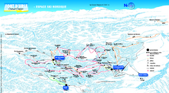
Font d’Urle Nordic Ski Trail Map
Trail map from Font d’Urle.
832 miles away
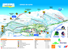
Font d’Urle Ski Trail Map
Trail map from Font d’Urle.
832 miles away
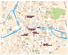
Rennes Street Map
Street map of the city center of Rennes, France. Shows building names and parking. Some points of...
833 miles away
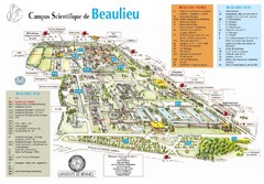
Campus Scientifique de Beaulieu Map
University of Rennes Science campus map.
834 miles away
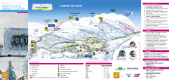
Lente Ski Trail Map
Trail map from Lente.
835 miles away
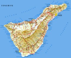
Tenerife Map
Map of Tenerife Island in the Canary Islands showing roads, towns and mountains.
836 miles away
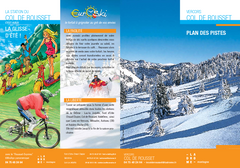
Col de Rousset Ski Trail Map
Trail map from Col de Rousset.
838 miles away
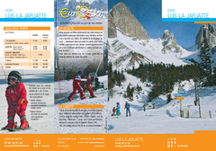
La Jarjatte Ski Trail Map
Trail map from La Jarjatte, which provides downhill and nordic skiing. It has 5 lifts servicing 6...
839 miles away
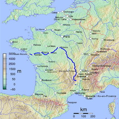
France Map with river Loire Highlighted
Map of France with river Loire higlighted.
841 miles away
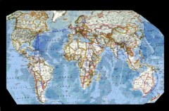
World Map
842 miles away
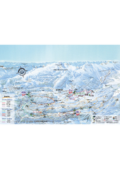
Herbouilly Ski Trail Map
Trail map from Herbouilly.
842 miles away
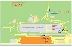
Tenerife Airport Map
846 miles away
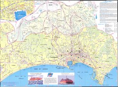
Cannes Map
846 miles away
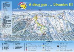
Chabanon Ski Trail Map
Trail map from Chabanon.
847 miles away

