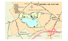
Memorial Lake State Park map
Detailed map of Memorial Lake State Park in Pennsylvania
0 miles away
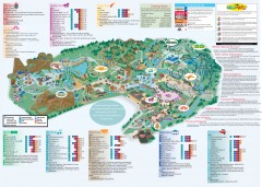
Hershey Park Official Map
Official 2007 map of the Hershey Theme Park in Hershey, PA
10 miles away
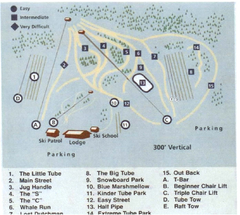
Blue Marsh Ski Area Ski Trail Map
Trail map from Blue Marsh.
26 miles away
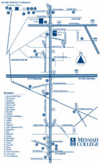
South Pennsylvania Restaurant Map
28 miles away
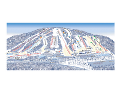
Ski Roundtop Ski Trail Map
Trail map from Ski Roundtop.
28 miles away
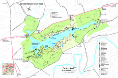
Gifford Pinchot State Park Map
Detailed map of Gifford Pinchot State Park in Pennsylvania.
28 miles away

Boyd Big Tree Preserve Conservation Area map
Detailed map of Boyd Big Tree Preserve Conservation Area in Pennsylvania.
29 miles away
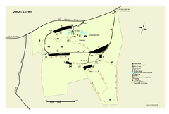
Samuel S. Lewis State Park map
Recreation map for Samuel Lewis State Park in Pennsylvania
30 miles away
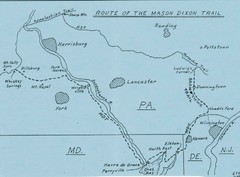
Mason Dixon Trail Map
Hand drawn map of the Mason-Dixon Trail. The 193 mile long Mason-Dixon Trail starts on the...
31 miles away
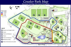
Cousler Park Map
31 miles away

Little Buffalo State Park map
Detailed map of Little Buffalo State Park in Pennsylvania.
31 miles away
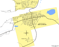
Shenandoah, Pennsylvania Map
35 miles away
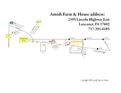
Amish Farm and House Route Map
Map showing directions to the Amish Farm and House with locations of key buildings and streets in...
35 miles away

Locust Lake State Park map
Detailed map of Locust Lake State Park in Pennsylvania
35 miles away
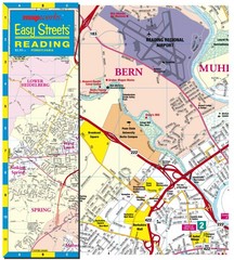
Reading, Pennsylvania City Map
36 miles away
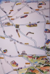
Handrawn Lancaster County Map
Guide to Amish country in Pennsylvania
38 miles away

Tuscarora State Park Map
Detailed recreation map for Tuscarora State Park in Pennsylvania
40 miles away
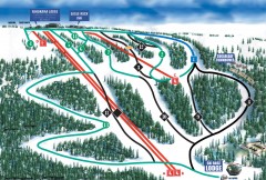
Eagle Rock Ski Trail Map
Official ski trail map of Eagle Rock Resort ski area from the 2007-2008 season.
43 miles away

Milton State Park map
Detailed recreation map of Milton State Park in Pennsylvania
44 miles away

Colonel Denning State Park map
Detailed map of Colonel Dening State Park in Pennsylvania
44 miles away

Susquehannock State Park map
Detailed recreation map for Susquehannock State Park in Pennsylvania
46 miles away
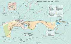
Pine Grove Furnace State Park map
Detailed recreation map for Pine Grove Furnace State Park in Pennsylvania
46 miles away
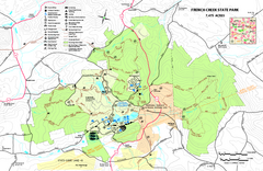
French Creek State Park map
Detailed recreation map for French Creek State Park in Pennsylvania
46 miles away
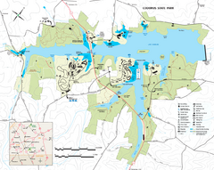
Codorus State State Park map
Detailed recreation map for Codorus State Park in Pennsylvania
46 miles away
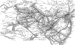
Reading Railroad System Map
Reading Railroad system map
48 miles away
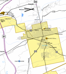
Hazelton Street Map
Clear and descriptive road map.
49 miles away

R. B. Winter State Park map
Recreation map for R. B. Winter State Park in Pennsylvania
50 miles away

Reeds Gap State Park map
Detailed recreation map of Reeds Gap State Park in Pennsylvania
50 miles away
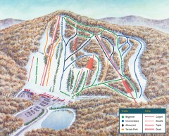
Bear Creek Ski Trail Map
Official ski trail map of Bear Creek ski area from the 2007-2008 season.
51 miles away
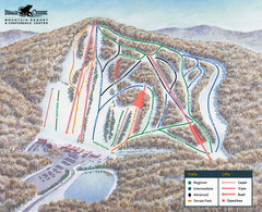
Bear Creek Ski & Recreation Area Ski Trail Map
Trail map from Bear Creek Ski & Recreation Area.
51 miles away
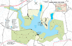
Marsh Creek State Park map
Detailed map of Marsh Creek State Park in Pennsylvania.
52 miles away

Gettysburg Battlefield Map
53 miles away
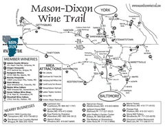
Mason-Dixon Wine Trail Map
Map of the Mason-Dixon Wine Trail, showing area wineries, historical sites, and lodging.
53 miles away

Poe Valley State Park map
Detailed recreation map for Poe Valley State Park in Pennsylvania
53 miles away
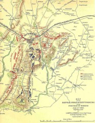
Gettysburg Battlefield map July 2, 1863
Map of the Union and Confederate positions in the Battle of Gettysburg July 2, 1863. "On July...
54 miles away
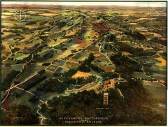
Gettysburg Battlefield in 1913 Map
Bird's eye view map of the Gettysburg Battlefield in 1913 by the Pennsylvania Railroad. From...
54 miles away
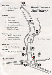
Jim Thorpe Tourist Map
Tourist map of historic Jim Thorpe, Pennsylvania. Scanned from a tourist brochure
54 miles away
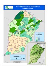
Chester County Tree Cover Map
Poster map of tree cover in Chester County, Pennsylvania
54 miles away
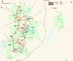
Gettysburg National Military Park Official Map
Official NPS map of Gettysburg National Military Park in Virginia. The park is open daily from 6...
55 miles away

Oriel College Map
55 miles away

