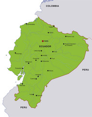
Ecuador National Parks Map
723 miles away
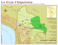
La Gran Chiquitania Map
Location map of the (Gran) Chiquitania region in Bolivia
737 miles away
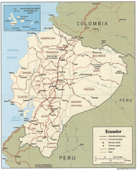
Ecuador Tourist Map
743 miles away
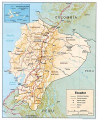
Ecuador map
Map of Ecuador showing provinces and capitols, major roads and rails
743 miles away

Northern Chile Tourist Map
Provinces in Northern Chile
745 miles away
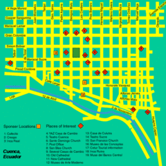
Cuenca Street Map
Streets and more are marked on this map and legend.
746 miles away
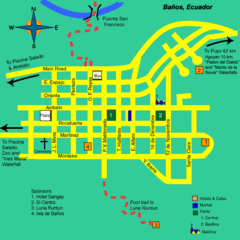
Banos Map
Simple map and legend of this small city.
749 miles away
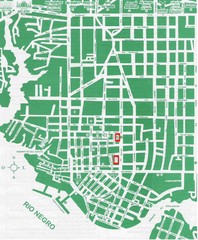
Manaus Center Map
Street map of city center
770 miles away
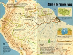
Amazon River Basin Map
From National Geographic Magazine
771 miles away
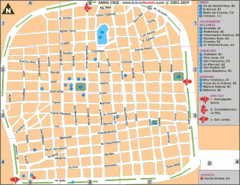
Santa Cruz Tourist Map
Tourist map of city center
776 miles away
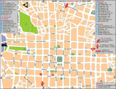
Downtown Sucre Map
Tourist street map of downtown Sucre
785 miles away
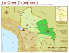
La Gran Chiquitania Map
792 miles away
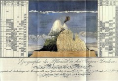
Humboldt's Scientific Representation of...
Alexander von Humboldt's scientific representation of the Chimborazo volcano in Ecuador...
793 miles away
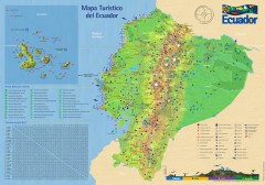
Ecuador Tourist Map
Detailed tourist map of Ecuador with inset of the Galapagos Islands. Shows National Parks and...
804 miles away
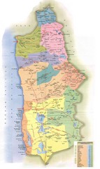
Tarapaca Region Political Map
805 miles away
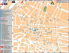
Potosi Center Map
Tourist street map of downtown Potosi
807 miles away
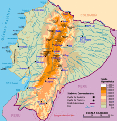
Ecuador Elevations Map
810 miles away
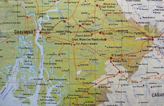
cerca de Guayaquil Map
817 miles away
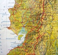
Relieve del Ecuador Map
823 miles away
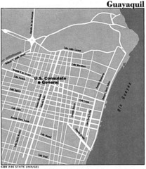
Guayaquil, Ecuador Tourist Map
824 miles away
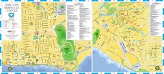
Guayaquil Tourist Map
Shows center and north sectors of Guayaquil, Ecuador. Shows points of interest. In Spanish.
824 miles away
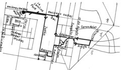
Quito Ecuador Townscape Walks Map
A book of hand-drawn maps with sketches for 12 great walks I designed in Quito, Ecuador.
827 miles away
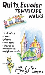
Quito Ecuador Townscape Walks Map
A book of hand-drawn maps with sketches for 12 great walks I designed in Quito, Ecuador.
827 miles away
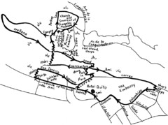
La Colina to Guapulo Map
Lovely walk from the hill top with wonderful views into the old neighborhood of Guapulo. 2.7 miles...
834 miles away
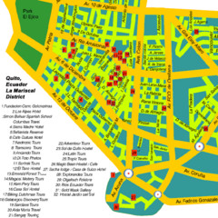
Mariscal District Quito Map
Tourist map of La Mariscal district of Quito
834 miles away
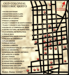
Old Colonial Historic Quito Map
Street map of Old Colonial area of Quito
834 miles away
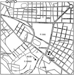
Quito, Ecuador Tourist Map
834 miles away
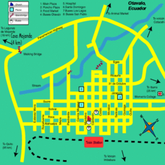
Otavalo City Map
842 miles away
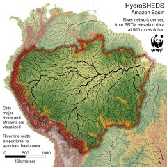
Amazon Basin Hydrosheds Map
Hydrosheds of the Amazon River Basin, the area drained by the Amazon River and its tributaries...
842 miles away
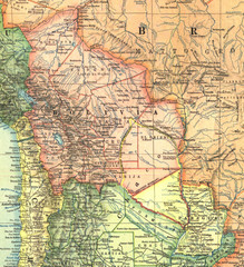
Bolivia and Paraguay in 1921 Map
1921 National Geographic Map of Bolivia and Paraguay before of the 1932-35 bloody war between those...
846 miles away
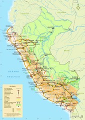
Western South America Tourist Map
852 miles away
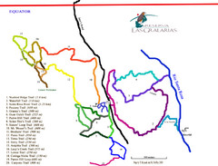
Reserva Las Gralarias Trail Map
856 miles away
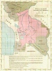
Alleged territorial losses of Bolivia Map
This Bolivian map shows all the alleged territorial losses.
863 miles away
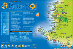
Ruta del Sol Tourist Map
Tourist map of the Ruta del Sol near Santa Elena, Ecuador. Shows points of interest
880 miles away
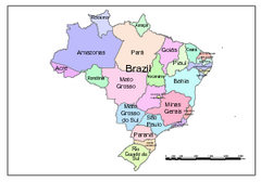
Brazil Map; Editable in Illustrator
Brazil Map, royalty free, fully editable with Illustrator. Mapsandlocations, a freelance company...
886 miles away

