Island of Hvar Map
Map of the Island Hvar, Croatia showing roads and cities.
82 miles away

Hvar Island Map
Nautical map of the island of Hvar. Town of Sucuraj highlighted.
82 miles away
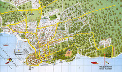
Biograd na Moru Map
84 miles away
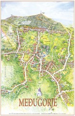
Medjugorje Tourist Map
Tourist map of town of Medjugorje, Bosnia & Herzegovina.
85 miles away
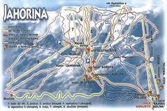
Jahorina Ski Trail Map
Trail map from Jahorina.
87 miles away
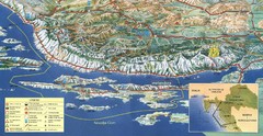
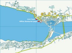
Pag Island Panoramic Map
Shows area around island of Pag, Croatia
95 miles away
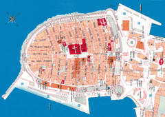
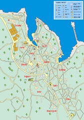
Korcula Tourist Map
Tourist map of old town Korcula, Croatia
95 miles away
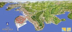
Korcula Tourist Map
Panoramic tourist map of town of Korcula, Croatia and surroundings. From korculainfo.com: "...
96 miles away
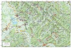
Bike Route starting in Ivanić-Grad Map
Bike route and trails through the cradle of Croatia’s oil drilling industry and the wondrous...
100 miles away
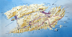
Vis Island Map
100 miles away
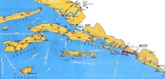
Dubrovnik Region Map
104 miles away
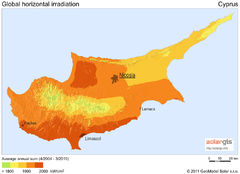
Solar Radiation Map of Cyprus
Solar Radiation Map Based on high resolution Solar Radiation Database: SolarGIS. On the Solar Map...
105 miles away
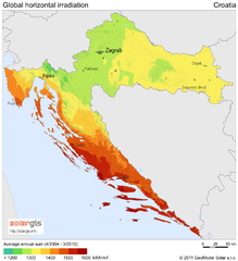
Solar Radiation Map of Croatia
Solar Radiation Map Based on high resolution Solar Radiation Database: SolarGIS. On the Solar Map...
105 miles away
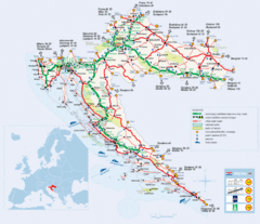
Coratia Tourist Map
Map of Croatia showing roads, international border crossings, parks, airports and ferrys.
105 miles away
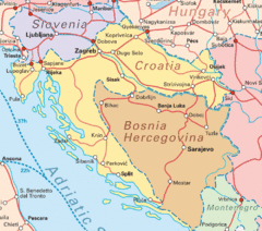
Interrail Routes for Croatia Map
Interrail railway routes for Croatia, Bosnia Hercegovina, Slovenia, and Hungary.
105 miles away
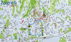
Zagreb Croatia Tourist Map
Zagreb City Centre Tourist map showing tourist attractions, hotels, tourist information and city...
115 miles away
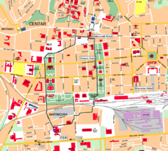
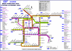
Zagreb Center Map
115 miles away
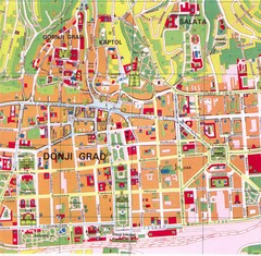
Zagreb Tourist Map
Tourist map of central Zagreb, Croatia. Shows major buildings.
115 miles away
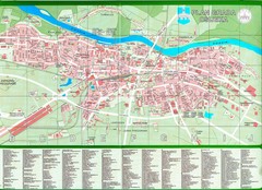
Osijek City Map
City map of Osijek, Croatia. With street index.
116 miles away
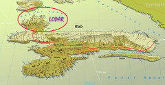
Rab Island Map
Shows beaches on Rab Island, Croatia
117 miles away
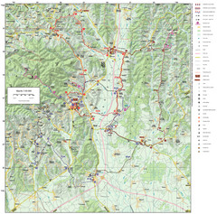
Zagreb County Cycling Route Map
Shows a cycling route in Zagreb County, Croatia. From the Roman “Magna Vie” near Komin...
118 miles away

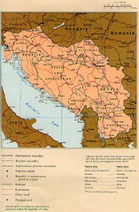
Central Balkan Map
Countries in Central Europe
119 miles away
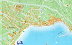
Baska Krk Tourist Map
Tourist map of Baska Krk, Croatia. Scanned.
121 miles away
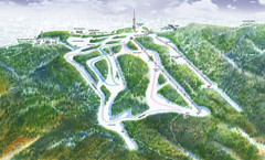
Medvednica Ski Trail Map
Trail map from Medvednica.
121 miles away
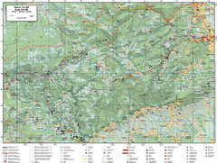
Samobor Region Cycling Route Map
Cycling route map for region west of Samobor, Croatia. Shows all routes in km
123 miles away

Novi Vinodolski Street Map
Street map of Novi Vinodolski, Croatia. Scanned.
124 miles away
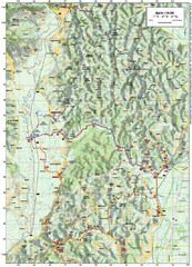
Villages and Sutla River Valley Bike Route Map
Bike routes and trails through the villages to the Sutla River Valley in Croatia. Note: The map...
126 miles away
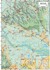
Sulta and Sava Croatia Cycling Route Map
the trails on this map are through picturesque hills to the confluence of the Sutla and Sava Rivers...
126 miles away
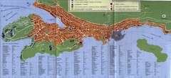
Dubrovnik City Map
City map of Dubrovnik, Croatia. Street index and shows services. Scanned.
128 miles away
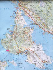
Krk Tourist Map
Tourist map of island of Krk, Croatia. Second biggest island in Croatia
128 miles away
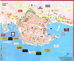
Dubrovnik Map
129 miles away
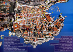
Old Town Dubrovnik Tourist Map
Tourist map of old town Dubrovnik, Croatia. Shows churches, forts, squares, and other points of...
129 miles away

Bács Map
129 miles away
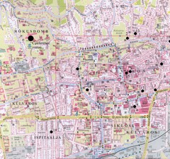
Pecs City Map
133 miles away
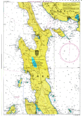
Cres hajózási Map
135 miles away
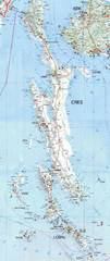
Cres & Losinj Island Map
Tourist map of island of Cres and island of Losinj, Croatia.
135 miles away

