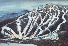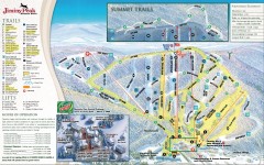
Jiminy Peak Ski Trail Map
Official ski trail map of Jiminy Peak ski area from the 2007-2008 season.
0 miles away
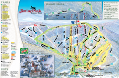
Jiminy Peak Resort Ski Trail Map
Trail map from Jiminy Peak Resort.
less than 1 mile away
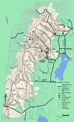
Pittsfield State Forest winter trail map
Winter use trail map of Pittsfield State Forest in Massachusetts.
5 miles away
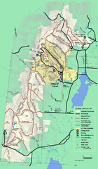
Pittsfield State Forest summer trail map
Summer use trail map of Pittsfield State Forest in Massachusetts.
5 miles away
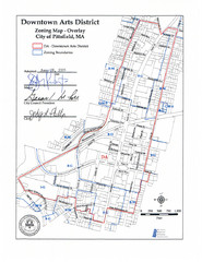
Pittsfield,, Massachusetts City Map
7 miles away
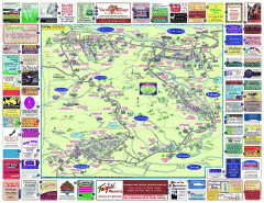
North County Berkshires map
Tourist map of North County - Pittsfield, N. Adams, Adams, Lanesboro, Cheshire, Williamstown...
7 miles away
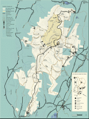
Mt. Greylock State Reservation map
Official summer map of the Mount Greylock State Reservation. At 3,491 feet, Mount Greylock is the...
9 miles away
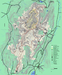
Mt. Greylock State Reservation winter trail map
Winter use trail map of Mt. Greylock State Park in Massachusetts.
9 miles away
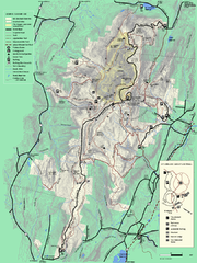
Mt. Greylock State Reservation summer trail map
Summer trail map of the Mt. Greylock State Park area in Massachusetts.
9 miles away
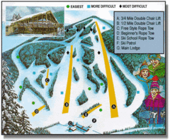
Bousquet Ski Area Ski Trail Map
Trail map from Bousquet Ski Area.
9 miles away
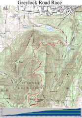
Mt. Greylock Road Race Course Map
Course map of the annual Mount Greylock Road Race. 8 Miles (uphill). Start/Finish: Mt. Williams...
10 miles away
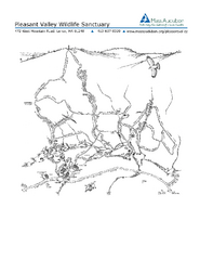
Pleasant Valley Wildlife Sanctuary Trail Map
Trail map of Pleasant Valley Wildlife Sanctuary
11 miles away
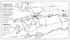
Lenox Town Map
Hand-drawn town map of Lenox, Mass. Bordered by Lenox Mountain and October Mountain. Shows points...
13 miles away
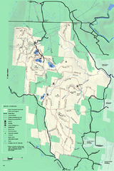
Savoy Mountain winter map
Winter use map of Savoy Mountain in Massachusetts.
13 miles away
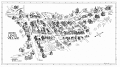
Lenox Village Map
Hand-drawn village map of historic center of Lenox, Massachusetts
13 miles away
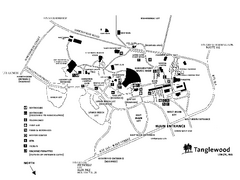
Tanglewood Map
Detailed map of the Tanglewood grounds that includes the location of the Box Office, Friends Office...
14 miles away
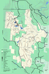
Savoy Mountail trail map
Trail map for Savoy Mountain in Massachusetts.
14 miles away
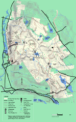
October Mountain State Forest trail map
Trail map of October Mountain State Forest in Massachusetts.
16 miles away
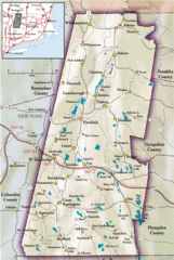
Berkshires Map
Overview map of the Berkshires region of Western Massachusetts
16 miles away
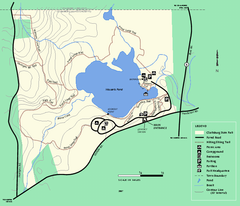
Clarksburg State Park trail map
Trail map of Clarksburg State Park in Massachusetts.
17 miles away
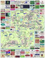
South County Berkshires map
Tourist map of Great Barrington, Housatonic, Sheffield, S. Egremont, N. Egremont Lenox, Stockbridge...
19 miles away
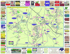
Columbia County - Austerlitz, Canaan, Chatham...
Tourist map of Columbia County including towns of Austerlitz, Canaan, Chatham, East Chatham Ghent...
19 miles away
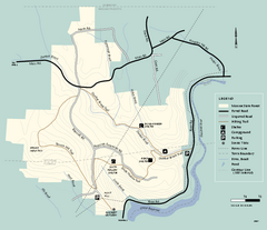
Monroe State Forest trail map
Trail map of Monroe State Forest in Massachusetts.
20 miles away
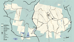
Kenneth Dubuque Memorial State Park trail map
Trail map of the Kenneth Dubuque state park conservation area in Massachusetts.
21 miles away
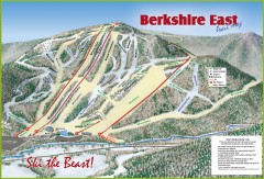
Berkshire East Ski Trail Map
Official ski trail map of Berkshire East ski area from the 2007-2008 season.
21 miles away
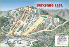
Berkshire East Ski Area Ski Trail Map
Trail map from Berkshire East Ski Area.
21 miles away
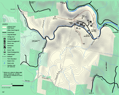
Mohawk Trail State Forest map
Map of the Mohawk Trail State Forest in Charlemont, Massachusetts.
21 miles away
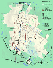
Beartown State Park Summer Map
Summer Map of Beartown State Park in Massachusetts.
22 miles away
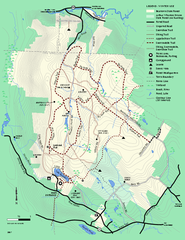
Beartown State Park Winter Map
Winter use map of Beartown State Park in Massachusetts
23 miles away
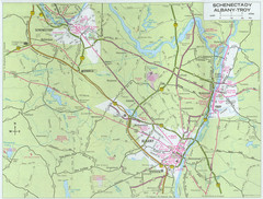
Albany, New York City Map
25 miles away
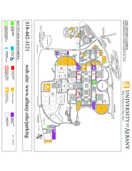
University at Albany Map
Campus Map of the University at Albany. All buildings shown.
25 miles away
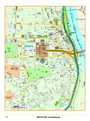
Albany downtown map
Road map of downtown Albany, NY. Shows city parks and New York State government buildings.
25 miles away
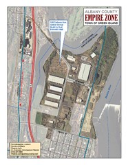
Green Island Map
Aerial town map of Green Island, New York on the Hudson River
25 miles away
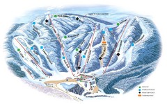
Butternut Ski Area Ski Trail Map
Trail map from Butternut Ski Area.
26 miles away
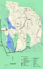
DAR State Forest winter map
Winter use map of the Daughters of the American Revolution State Forest.
26 miles away
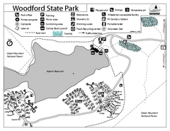
Woodford State Park Campground Map
Campground map for Woodford State Park in Vermont
27 miles away
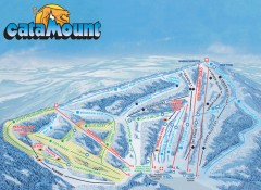
Catamount Ski Trail Map
Official ski trail map of Catamount ski area from the 2006-2007 season.
28 miles away
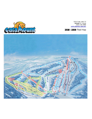
Catamount Ski Area Ski Trail Map
Trail map from Catamount Ski Area.
28 miles away
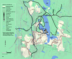
Tolland State Forest summer trail map
Summer use map for Tolland State Forest in Massachusetts.
29 miles away


 Explore Maps
 Map Directory
