Franklin Mountains, Texas State Park Facility and...
512 miles away
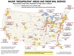
Amtrak Major Railway Map
Guide to major cities and rail lines connecting them
514 miles away
Lake Poinsett State Park Map
Map of Lake Poinsett State Park showing Great Blue Heron Trail , boat ramps and park amenities.
517 miles away
Lake Charles State Park Trail Map
Map of trails for Lake Charles State Park including othe park sites and amenities.
518 miles away
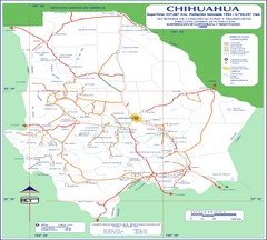
Chihuahua Town Map
519 miles away
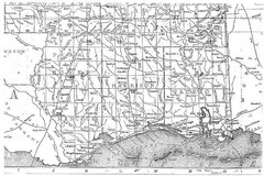
Mississippi Gulf Coast counties, 1906 Map
520 miles away
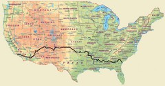
Cross Country Bike Route Map
A Map Of The Route taken by Lucas Hartman on his 6 week, 3,108.1 mile cross-country bike trip.
520 miles away
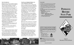
Powhatan Historic State Park Map
Map of the historic buildings of Powhatan State Park.
521 miles away
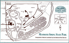
Mammoth Spring State Park Map
523 miles away
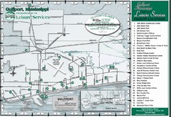
Gulfport Recreational Facilities Map
Shows parks and other recreational points of interest in Gulfport, Mississippi.
523 miles away
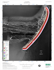
Cat Island Map
Cat Island NW Coastal Classification
525 miles away
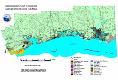
Mississippi Gulf Ecological Management Sites Map
GEMS area map
526 miles away
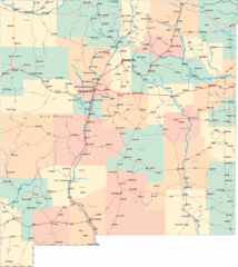
New Mexico Road Map
Detailed road map of New Mexico state
527 miles away
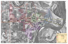
West Memphis City Map
City Map of West Memphis with ward boundaries
528 miles away
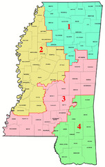
Mississippi Congressional Map
530 miles away
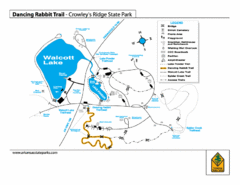
Dancing Rabbit Trail - Crowley's Ridge State...
Trail Map for Dancing Rabbit Trail in Crowley's Ridge State Park showing Walcott Lake, hiking...
531 miles away
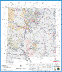
New Mexico Road Map
Detailed road map of state of New Mexico
532 miles away
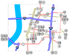
Downtown Memphis Map
Roads and freeways around Memphis.
533 miles away
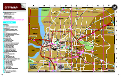
Memphis, Tennessee City Map
533 miles away
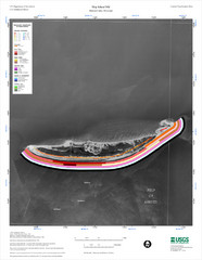
Ship Island Map
533 miles away
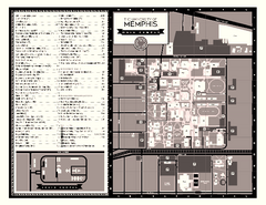
University of Memphis Map
Campus Map of the University of Memphis. All buildings shown.
533 miles away
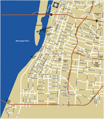
Downtown Memphis Map
534 miles away
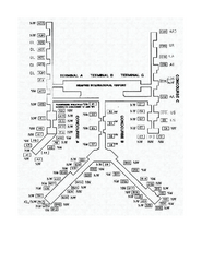
Memphis International Airport Terminal Map
Official Terminal Map of Memphis International Airport. Shows all terminals.
534 miles away
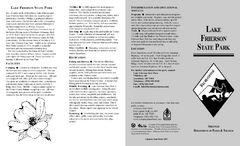
Lake Frierson State Park Map
Map of Lake Frierson State Park showing trails, boating and fishing areas and amenities.
534 miles away
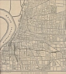
Antique map of Memphis from 1911
Antique map of Memphis, Tennessee from The New Encyclopedic Atlas and Gazetteer of the World. New...
534 miles away
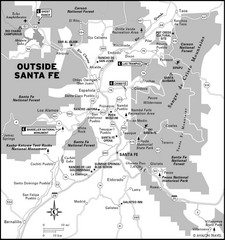
Surrounding Santa Fe, New Mexico Area Map
535 miles away
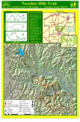
Noxubee Hills Trail Map
Shows singletrack and doubletrack trails in the Noxubee Hill trail system in Tombigbee National...
535 miles away
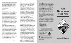
Old Davidsonville State Park Map
Map of Old Davidsonville State Park historical sites, amenites and other park sites.
535 miles away

Bathymetric Chart of Mississippi Gulfshore...
536 miles away
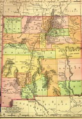
New Mexico 1895 Map
542 miles away
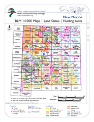
Index of BLM Maps for NM Hunting Units Map
This handy index shows the BLM surface management (land ownership) maps you need for all the...
543 miles away
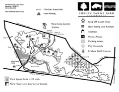
Shelby Farms Park Map
543 miles away
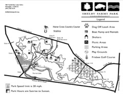
Shelby Farms Park Activities Areas Map
Visitor map of Shelby Farms Park. Shows parameters of dog areas, parking, play grounds, shelters...
545 miles away
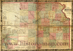
Kansas Railroad Map 1867
Here for your perusal is a sectional map of the state of Kansas showing the route of the Union...
550 miles away
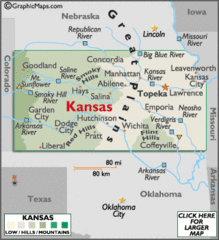
Kansas Elevations Map
550 miles away
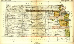
Kansas Native American Territories 1866-1867 Map
489., 492 Cherokee, 19 Jul 1866 (on Indian Territory Map 22, Kansas, Map 27) 495. Sauk and Fox of...
550 miles away
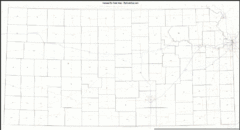
Kansas Zip Code Map
Check out this Zip code map and every other state and county zip code map zipcodeguy.com.
550 miles away
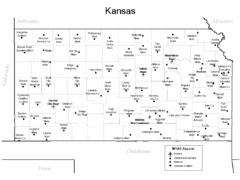
Kansas Airports Map
550 miles away
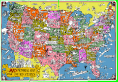
A MAD Pictorial Map of the United States - Front...
I found these raw assembled scans in a dieing torrent in 2010. Hash code...
551 miles away

