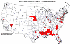
Ludacris' Hoes In Different Area Codes Map
Shows area codes in which rap star Ludacris claims to have hoes from his 2001 single "Area...
434 miles away
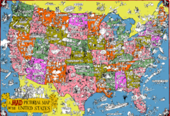
Mad Magazine USA Map
Detailed comedic drawings overlaid on a huge map of the US.
434 miles away
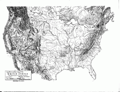
US Map - Landform Outline
Hand-drawn map of the US shows landforms (mountains and rivers) with amazing detail. Map created...
434 miles away
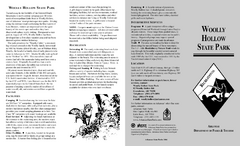
Woolly Hollow State Park Map
Map of Woolly Hollow State Park showing hiking trails and park amenities.
435 miles away
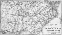
1865 Southern US States Railway Map
Guide to railroad travel in the southern United States
435 miles away
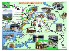
Eureka Springs West Tourist Map
Tourist map of Eureka Springs West on Beaver Lake in Eureka Springs, Arkansas. Shows points of...
437 miles away
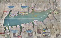
Winfield City Lake Map
Recreation map of Winfield City Lake in Winfield, Kansas. Named Timber Creek Lake. Shows camping...
438 miles away
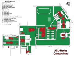
Arkansas State University-Beebe Campus Map
Campus map of Arkansas State University's Beebe campus.
443 miles away
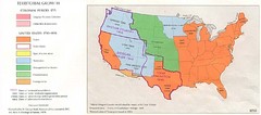
Territorial Expansion in Eastern United States...
443 miles away
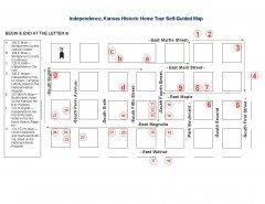
Walking tour of Historic Independence Map
Self-guided walking tour map of Historic Independence, Kansas. Shows historic housing in the...
443 miles away
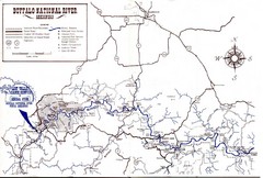
Buffalo National River Guide Map
450 miles away
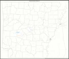
Arkansas Zip Code Map
Check out this Zip code map and every other state and county zip code map zipcodeguy.com.
451 miles away
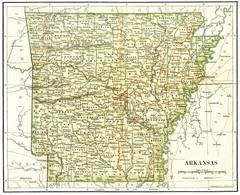
Old Arkansas Map
Old 1892 historical map in great condition.
451 miles away
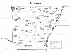
Arkansas Airports Map
451 miles away
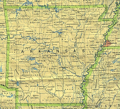
Arkansas County Map
Arkansas divided into counties
451 miles away
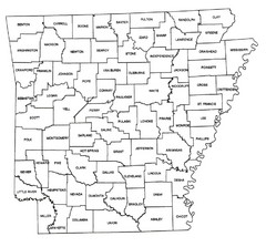
Arkansas Historical County Map
Historical County Map of Arkansas from 1936
451 miles away
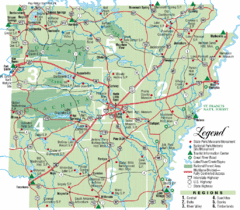
Arkansas State Park Map
Map highlights Arkansas State Parks and tourist areas including towns and major roads.
451 miles away
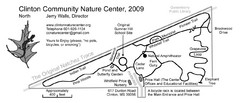
Clinton Community Nature Center Map
A relaxing walk through the Clinton Community Nature Center.
452 miles away
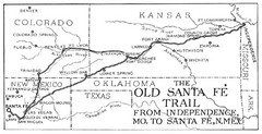
The Old Santa Fe Trail Map
456 miles away
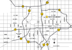
Wichita, Kansas City Map
458 miles away
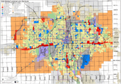
Wichita Functional Land Use Guide Map
Development map for future land use by 2030
458 miles away
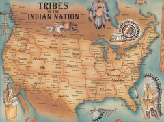
Tribes of the Indian Nation Map
Guide to the native tribes of North America
459 miles away
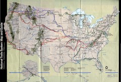
National Trails System Map
Map of all major US trail systems
459 miles away
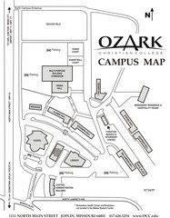
Ozark Christian College Map
459 miles away
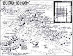
Missouri Southern State University Map
Campus Map
460 miles away

Prospect.1 New Orleans Biennial Art Map
Map of Prospect.1, the largest biennial of international contemporary art ever organized in the...
466 miles away
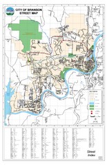
Branson Street Map
Street map of Branson, Missouri. With street index.
467 miles away
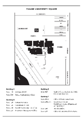
Uptown Square Map
467 miles away
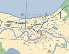
New Orleans Neighborhood Map
Overview map of city of New Orleans shows districts/neighborhoods and major streets.
468 miles away
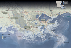
Jean Lafitte National Historical Park and...
Official NPS map of Jean Lafitte National Historical Park and Preserve in Louisiana. Map shows all...
468 miles away
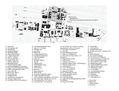
Tulane University Map
468 miles away
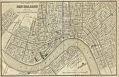
New Orleans 1873 Map
469 miles away
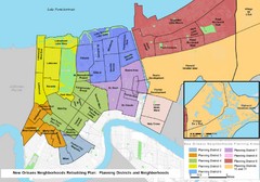
New Orleans Districts Map
Rebuilding map of New Orleans showing districts
470 miles away
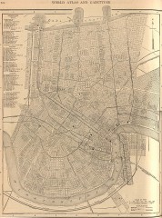
Antique map of New Orleans from 1908
Antique map of New Orleans, Louisiana, from The New Encyclopedic Atlas and Gazetteer of the World...
470 miles away

University of New Orleans Lakefront Campus Map
470 miles away
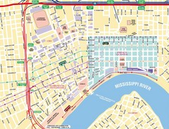
New Orleans Tourist Map
471 miles away
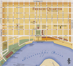
New Orleans Tourist Map
471 miles away
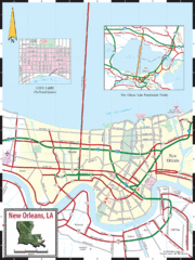
New Orleans Tourist Map
471 miles away
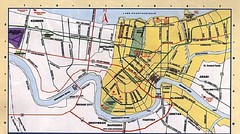
New Orleans Tourist Map
471 miles away

New Orleans Magazine Street Map
Illustrated map by Michael A Hill for US Magazine - Lucky for shopping feature.
471 miles away

