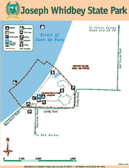
Joseph Whidbey State Park Map
Map of park with detail of trails and recreation zones
324 miles away
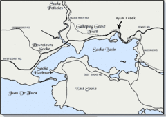
Community of Sooke, British Columbia Map
http://www.sooke.org/maps/map2.htm © Pax Media Inc.
324 miles away
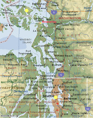
Washington State - West Coast Map
Washington State - West Coast Map
325 miles away

Oak Harbor tourist map
Tourist map of Oak Harbor, Washington. Shows all businesses.
325 miles away
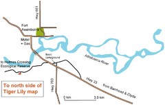
Fort Assiniboine Location Map
325 miles away
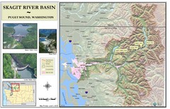
Skagit River Map
Skagit River Basin Overview Map (Pink shading is the FEMA 100 Year Flood)
325 miles away
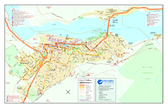
Nelson BC Town Map
325 miles away
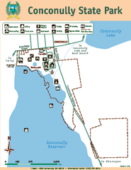
Conconully State Park Map
Map of park with detail of trails and recreation zones
326 miles away
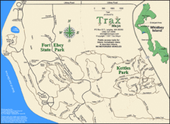
Ft Ebey/Kettle Park Trail Map
Trail map of Fort Ebey Park and Kettle Park, Washington
330 miles away
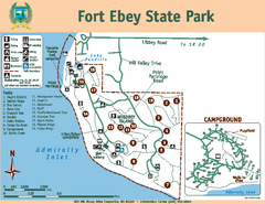
Fort Ebey State Park Map
Map of park with detail of trails and recreation zones
330 miles away

Coupeville tourist map
Tourist map of Coupeville, Washington. Shows all businesses.
330 miles away
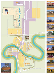
Manning Town Map
330 miles away
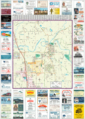
Arlington tourist map
Tourist map of Arlington, Washington. Shows all businesses.
331 miles away
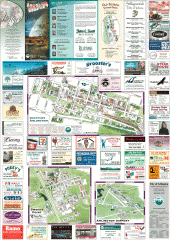
Arlington and Smokey Point tourist map
Tourist map of Arlington and Smokey Point, Washington. Shows all businesses.
331 miles away

2006–08 Black Jack Nordic Map
Trail map from Black Jack.
332 miles away
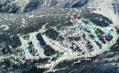
Whitewater Ski Resort Silver King Ski Trail Map
Trail map from Whitewater Ski Resort.
332 miles away
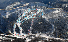
Whitewater Ski Resort Summit Ski Trail Map
Trail map from Whitewater Ski Resort.
332 miles away

Red Mountain Ski Trail Map
Trail map from Red Mountain.
332 miles away
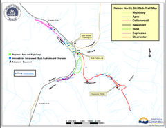
Nelson Nordic Ski Trail Map
Trail map from Nelson Nordic, which provides night and nordic skiing. This ski area has its own...
332 miles away
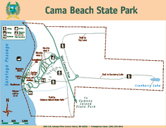
Cama Beach State Park Map
Map of park with detail of trails and recreation zones
333 miles away
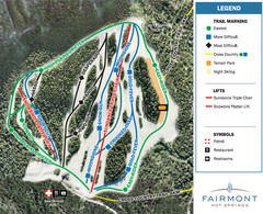
Fairmont Hot Springs Resort Ski Trail Map
Trail map from Fairmont Hot Springs Resort.
333 miles away

Red Mountain Trail Map
Ski trail map
333 miles away
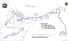
Neah Bay Bus Route Map
334 miles away
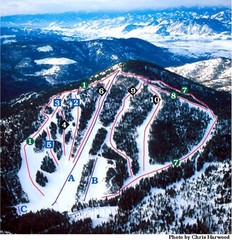
Loup Loup Ski Bowl Ski Trail Map
Trail map from Loup Loup Ski Bowl, which provides downhill, night, and nordic skiing. It has 2...
334 miles away
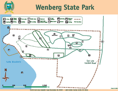
Wenberg State Park Map
Map of park with detail of trails and recreation zones
335 miles away
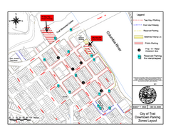
City of Trail Downtown Parking Map
Parking map of downtown Trail, British Columbia
335 miles away

City of Trail BC Map
Map of city of Trail, BC on the Columbia River
336 miles away
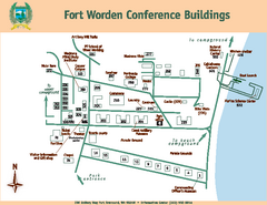
Fort Worden Conference Buildings Map
Map of conference buildings in Fort Worden State Park
336 miles away
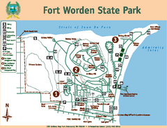
Fort Worden State Park Map
Map of park with detail of trails and recreation zones
336 miles away
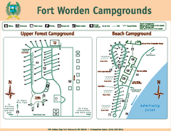
Fort Worden Campgrounds Map
Map of park campgrounds
336 miles away

Nisga'a Commercial Recreation Area Map
Guide to commercial recreation in aboriginal lands in British Columbia
336 miles away
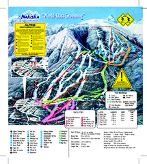
Nakiska Ski Resort Ski Trail Map
Trail map from Nakiska Ski Resort, which provides downhill skiing. This ski area has its own...
336 miles away
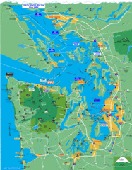
Seattle Ferry Guide Map
Map of ferries around Seattle, Puget Sound and Olympic Peninsula
338 miles away
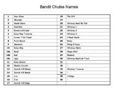
Fortress Bandit Chutes Run Names List Map
Trail map from Fortress, which provides downhill skiing.
338 miles away
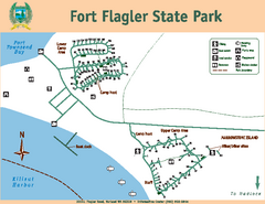
Fort Flagler State Park Map
Map of park with detail of trails and recreation zones
338 miles away

Whidbey Island tourist map
Tourist map of Whidbey Island and Coupeville, Washington. Shows all businesses.
340 miles away
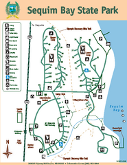
Sequim Bay State Park Map
Map of park with detail of trails and recreation zones
340 miles away
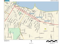
Port Angeles City Map
340 miles away
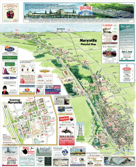
Marysville tourist map
Tourist map of Marysville, Washington. Shows all businesses.
341 miles away

