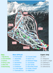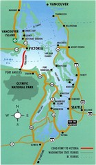
British Columbia, Canada Tourist Map
290 miles away
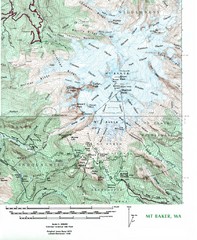
Mt. Baker Topo Map
Topo map of Mt. Baker, Washington, elevation 10,778ft.
291 miles away
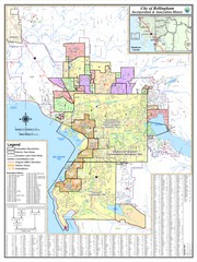
Bellingham, Washington City Map
292 miles away
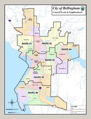
Bellingham Ward Map
Guide to wards in Bellingham, WA
292 miles away
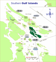
Southern Gulf Islands Map
Map of the region. Shows ferry routes.
294 miles away
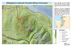
Bellingham Galbraith Mountain Biking Trail Map
Mountain biking trail map of Whatcom Falls Park near Bellingham, WA
295 miles away
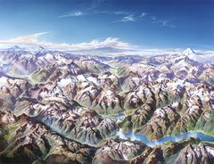
North Cascades National Park Oblique Map
Oblique map looking across Ross Damn, and Diablo Lake towards Seattle
295 miles away
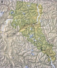
North Cascades National Park Physical Map
National Park
296 miles away
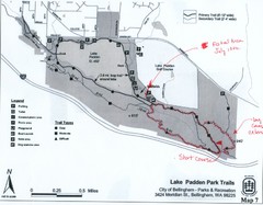
Lake Padden Park Trails Map
Course Elevation Map noted in handwriting on map. Festival location noted as well.
296 miles away
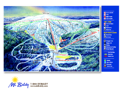
Mt. Baldy Family Ski Area Ski Trail Map
Trail map from Mt. Baldy Family Ski Area.
297 miles away
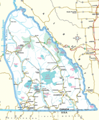
Kootenay Mountains Map
298 miles away
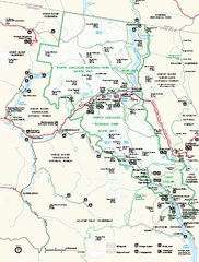
North Cascades National Park map
Official NPS map of North Cascades National Park, Washington. Shows the entire park and...
298 miles away
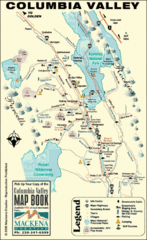
Columbia Valley Map
Easy to follow map and legend of this wilderness area.
299 miles away
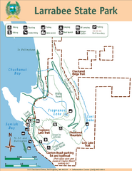
Larrabee State Park Map
Park map of Larrabee State Park, Washington.
299 miles away
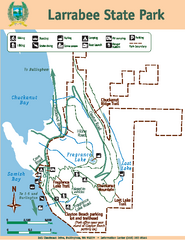
Larrabee State Park Map
Map of island with detail of trails and recreation zones
299 miles away
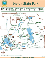
Moran State Park Map
Map of park with detail of trails and recreation zones
299 miles away
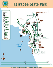
Larrabee State Park Map
Map of island with detail of trails and recreation zones
300 miles away
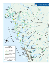
Flores Island Provincial Park Area Map
Park map of area around Flores Island Provincial Park, BC in the Clayoquot Sound. Flores Island is...
302 miles away
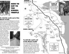
Kinsol Trestle Map
Map of the Kinsol Trestle
302 miles away

The Town of Sidney - Parks Map
303 miles away
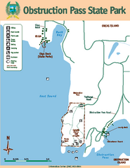
Obstruction Pass State Park Map
Map of park with detail of trails and recreation zones
304 miles away

Orcas tourist map
Tourist map of Orcas, Washington. Shows all businesses.
305 miles away
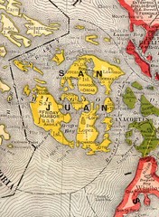
San Juan County Washington, 1909 Map
306 miles away

Kettle Valley Trails Map
Map of Kettle Valley Trails. Includes all trails, streets, and attractions.
306 miles away

Skagit County Washington, 1909 Map
306 miles away

rthsaanich.ca District Map
307 miles away
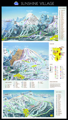
Sunshine Trail Map
Trail map of Sunshine Village
308 miles away
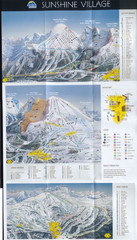
Banff’s Sunshine Village Ski Trail Map
Trail map from Banff’s Sunshine Village.
308 miles away
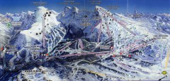
Sunshine Village Ski Trail Map
Official ski trail map of Sunshine Village ski area.
308 miles away
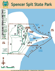
Spencer Spit State Park Map
Map of park with detail of trails and recreation zones
308 miles away
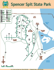
Spencer Spit State Park Map
Map of park with detail of trails and recreation zones
308 miles away
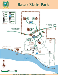
Rasar State Park Map
Map of park with detail of trails and recreation zones
310 miles away

San Juan Island tourist map
San Juan Island and Friday Harbor tourist map. Shows all businesses.
310 miles away
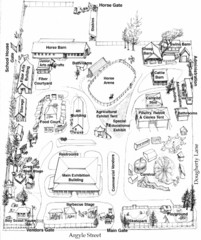
San Juan County Fair Map 2008
Fairgrounds map for the San Juan County Fair, Friday Harbor, Washington
310 miles away
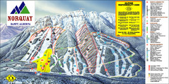
Banff Mount Norquay Ski Trail Map
Trail map from Banff Mount Norquay, which provides downhill skiing. This ski area has its own...
311 miles away
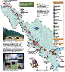
Banff National Park Map
311 miles away
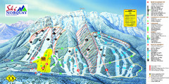
Norquay Map
Ski trail map
312 miles away
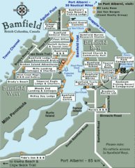
Bamfield Tourist Map
312 miles away
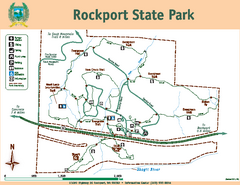
Rockport State Park Map
Map of park with detail of trails and recreation zones
312 miles away

