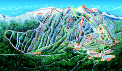
Big White Ski Resort Ski Trail Map
Trail map from Big White Ski Resort, which provides downhill, night, nordic, and terrain park...
269 miles away
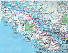
Vancouver Island Road Map
269 miles away
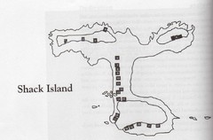
Shack Island Map
Illustration taken from the book "Shack Island" by Ruth English Matson. 2004.
269 miles away
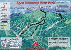
Apex Mountain Resort Biking Ski Trail Map
Trail map from Apex Mountain Resort, which provides downhill and terrain park skiing. It has 5...
270 miles away
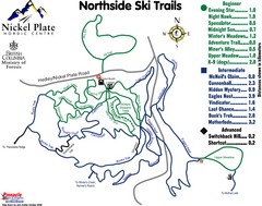
Nickel Plate Nordic Centre North Ski Trail Map
Trail map from Nickel Plate Nordic Centre.
270 miles away
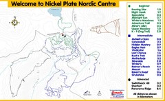
Nickel Plate Nordic Centre Ski Trail Map
Trail map from Nickel Plate Nordic Centre.
270 miles away
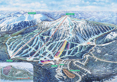
Apex Mountain Ski Trail Map
Official ski trail map of Apex Mountain ski area
270 miles away
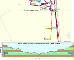
Onion Lake Dog Ski Trail Map
Trail map from Onion Lake, which provides nordic skiing. This ski area has its own website.
271 miles away
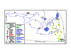
Onion Lake Ski Trail Map
Trail map from Onion Lake, which provides nordic skiing. This ski area has its own website.
271 miles away
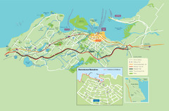
Nanaimo City Map
Map of Nanaimo, BC. Shows trails and parks.
273 miles away
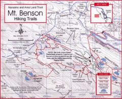
Mt. Benson Hiking Trail Map
Show hiking trails in the Nanaimo and Area Land Trust containing Mt. Benson. Also shows roads and...
275 miles away
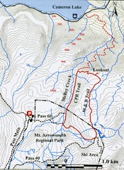
Mt. Arrowsmith Park CPR Historic Trail Map
Trail map of Mt. Arrowsmith Regional Park CPR Historic Trail, Vancouver Island
275 miles away
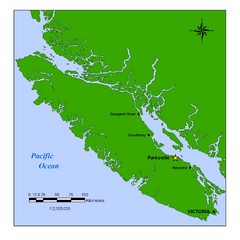
Vancouver Island Overview Map
Town of Parksville highlighted.
275 miles away
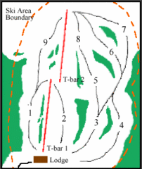
Mount Arrowsmith (Upper) Ski Trail Map
Trail map from Mount Arrowsmith (Upper).
276 miles away
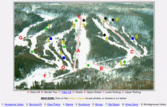
Whispering Pines Ski Trail Map
Trail map from Whispering Pines, which provides downhill and nordic skiing. This ski area has its...
276 miles away

Edmonton, Alberta Tourist Map
Edmonton, Alberta and the area west of it
277 miles away
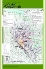
Mount Arrowsmith Climbing Route Map
Climbing routes on Mount Arrowsmith, Vancouver Island
277 miles away
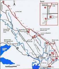
Log Train Trail Map
Trail map of the Log Train Trail near Port Alberni, Vancouver Island
277 miles away
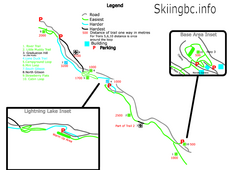
Manning Park Resort 2004–07 Manning Park...
Trail map from Manning Park Resort, which provides downhill and nordic skiing. It has 4 lifts...
278 miles away
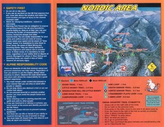
Manning Park Resort 2004–07 Manning Park Cross...
Trail map from Manning Park Resort, which provides downhill and nordic skiing. It has 4 lifts...
278 miles away
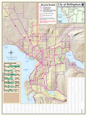
Bellingham, Washington City Map
278 miles away
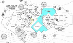
Lynden City Park Map
279 miles away
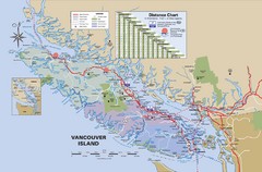
Vancouver Island Map
280 miles away
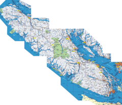
Vancouver Island Map
Detailed map of Vancouver Island, British Columbia. Shows towns, roads, and parks.
280 miles away
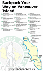
Vancouver Island Backpacking Map
Shows hostels on Vancouver Island, BC
280 miles away
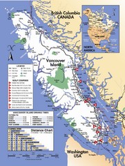
Vancouver Island Road Map
280 miles away
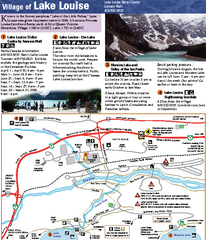
Lake Louise Area Map
Map of Lake Louise with detail of trails and recreation zones
281 miles away
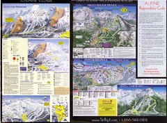
2007–08 2007–08 Ski Big 3 Side 2 (Lake Louise...
Trail map from Lake Louise, which provides downhill skiing. This ski area has its own website.
282 miles away
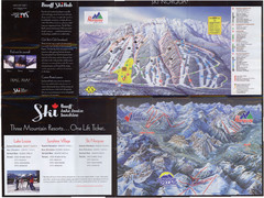
Lake Louise 2007–08 Ski Big 3 Side 1 (3...
Trail map from Lake Louise, which provides downhill skiing. This ski area has its own website.
282 miles away
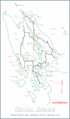
Thetis Island Map
Thetis Island map showing roads, properties, and the community trail.
282 miles away
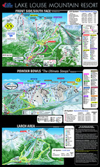
Lake Louise Trail Map
Ski area trail map for Lake Louise Mountain
282 miles away
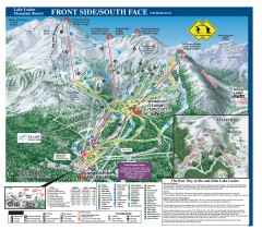
Lake Louise Ski Trail map - Front side/south face...
Official ski trail map of the front side/south face of Lake Louise ski area from the 2005-2006...
283 miles away
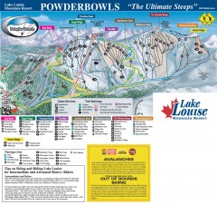
Lake Louise Ski Trail map - Ptarmigan/Paradise...
Official ski trail map of the Ptarmigan/Paradise/Back Bowls of Lake Louise ski area from the 2005...
283 miles away
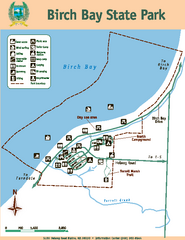
Birch Bay State Park Map
Map of park with detail of trails and recreation zones
283 miles away
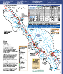
Banff National Park map
Official Parks Canada map of Banff National Park. Birthplace of Canada's national park system...
285 miles away
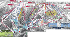
Mt. Baker Ski Area Ski Trail Map
Trail map from Mt. Baker Ski Area, which provides terrain park skiing. It has 10 lifts servicing 38...
286 miles away
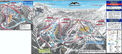
Mt. Baker Ski Trail Map
Official ski trail map of Mount Baker ski area from the 2007-2008 season.
287 miles away
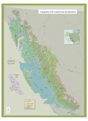
BC and Alaska Coastal Forest and Mountains Map
Relief map of coastal forest and mountains of southeast Alaska and British Columbia
289 miles away
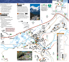
Banff National Park Map
Map of park with detail of trails and recreation zones
289 miles away


