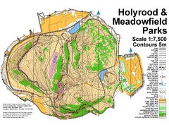
Holyrood Park Map
130 miles away
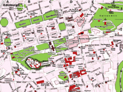
Edinburgh, Scotland Tourist Map
131 miles away
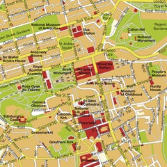
Edinburgh, Scotland Tourist Map
131 miles away
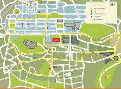
Edinburgh Tour Bus Map
131 miles away
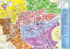
Edinburgh Walking Tourist Map
131 miles away
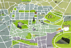
Edinburgh Tourist Map
Tourist map of Edinburgh, Scotland. Shows parks and major landmarks.
131 miles away

Edinburgh Mobimap Map
131 miles away
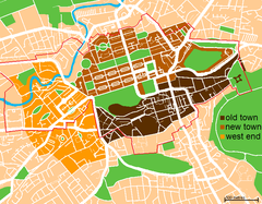
Map of Edinburgh
Shows the new town and old town of Edinburgh.
131 miles away
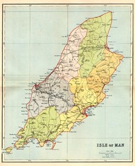
Isle of Man Map
131 miles away
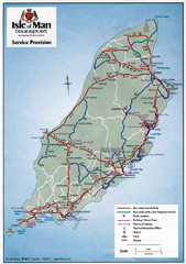
Isle of Man Transportation Map
131 miles away
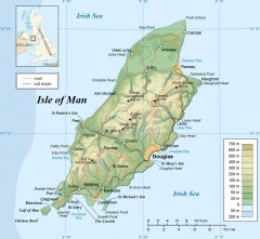
Isle of Man Topo Map
Topographical map of the Isle of Man showing roads, rail tracks, geographic features, and towns...
131 miles away
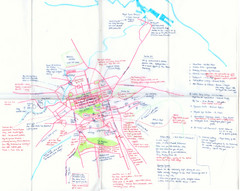
Hand Drawn Edinburgh Map
Map of architecture and points of interest in Edinburgh
131 miles away
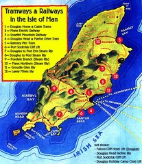
Isle of Man Railways and trams Map
131 miles away
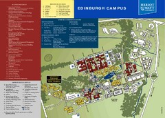
Heriot Watt University Map
Edinburgh campus map
132 miles away
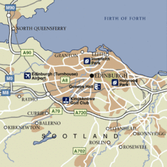
Edinburgh City Map
Simple city map marking parks, airports, streets and more.
132 miles away
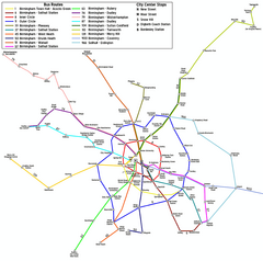
Birmingham Transit Map
Guide to bus lines in Birmingham, UK
132 miles away
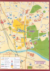
Peterborough City Center Map
City map of central Peterborough, England
133 miles away
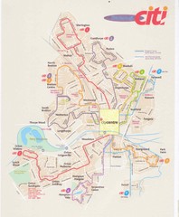
Peterborough Stage Coach Citi Bus Map
134 miles away
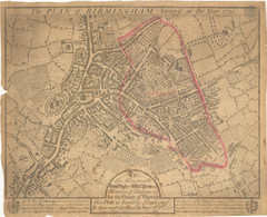
1731 Birmingham Map
Guide to historic Birmingham, UK
134 miles away

Birmingham City Map
Street map of Birmingham, England. Shows buildings, hospitals, parking, and schools.
134 miles away
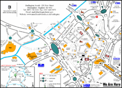
Central Birmingham Map
134 miles away
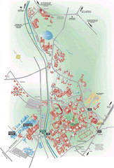
University of Birmingham Map
Guide to Birmingham University and surrounds
137 miles away
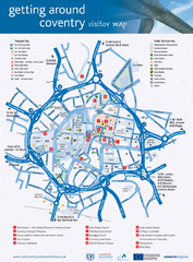
Coventry Tourist Map
Tourist map of central Coventry, England. Shows points of interest.
138 miles away
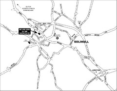
Solihull Town Map
138 miles away
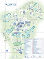
University of Warwick Campus Map
Near Coventry, West Midlands
140 miles away
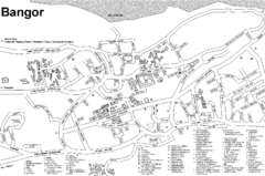
Bangor University Map
Map with numbered index to buildings on the campus of Bangor University in the United Kingdom.
140 miles away
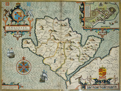
Anglesey Map
145 miles away
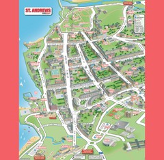
St. Andrews Map
Tourist map of St. Andrews
147 miles away
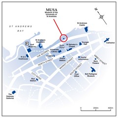
St. Andrews, Scotland Tourist Map
Shows several locations, including University of St. Andrews, in St. Andrews, Scotland
147 miles away

St Andrews Scotland Tourist Map
Illustrated tourist Map of St. Andrews, Scotland showing historical building and streets.
147 miles away
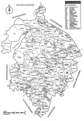
Warwichshire, England Region Map
147 miles away
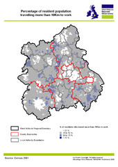
West Midlands Travel Time Statistics Map
Percentage of residents who travel to work in West Midlands, England
148 miles away
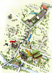
Alloway Scotland Map
150 miles away
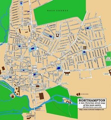
Northampton Town Map
Street map of Northampton from the late Victorian period
150 miles away
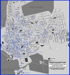
Northampton Town Map
Map of Northampton from the late Victorian period with public houses, inns, hotels, and pubs all...
150 miles away
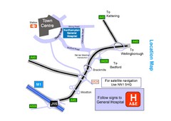
Central Northampton, England Tourist Map
Central Northampton in England
150 miles away
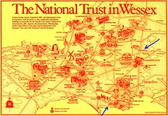
Wessex Scotland Historical Places Map
Illustrated tourist map of Wessex, Scotland showing historical landmarks.
151 miles away

Cawston, Norfolk Guide Map
152 miles away
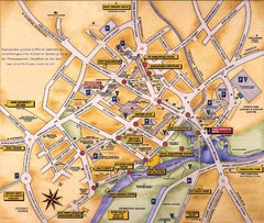
Stratford-upon-Avon Tourist Map
Tourist map of Stratford-upon-Avon, UK. Shows points of interest.
153 miles away
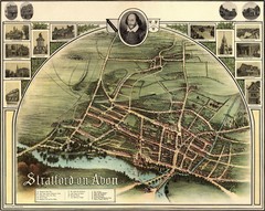
1902 Stratford-upon-Avon Map
Map of William Shakespeare's birthplace
153 miles away

