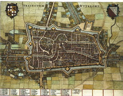
Historic map of Utrecht in 1652
310 miles away
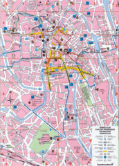
Ghent Walking Tour Map
Tourist and walking tour map of Ghent, Belgium. Shows points of interest.
313 miles away
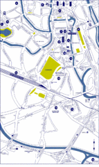
Ghent City Map
City map of Ghent with attractiosn
314 miles away
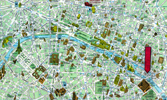
Paris, France Tourist Map
314 miles away
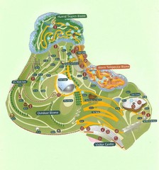
2006 Eden Project Map
Guide to the largest greenhouse in the world, built inside of an old quarry
314 miles away
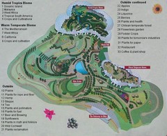
2000-2004 Eden Project Map
Guide to largest greenhouse in the world, the Eden Project
314 miles away
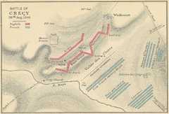
Battle of Crecy Map
Battlefield map of Crecy, France, August 28th 1346 during the Hundred Years War.
317 miles away
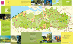
Flanders Camping and Cycling Map
Shows campgrounds and cycling routes in Flanders, Belgium
317 miles away
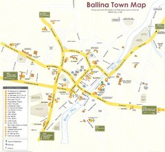
Ballina Town Map
317 miles away
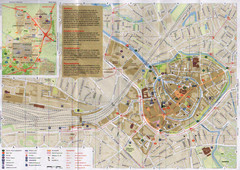
Amersfoort Map
317 miles away
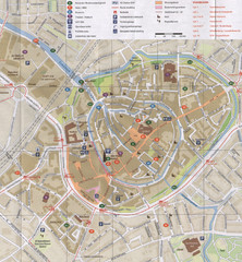
Amersfoort Map
317 miles away
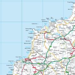
Cornwall Coast Map
Map of coast cities in Cornwall
318 miles away
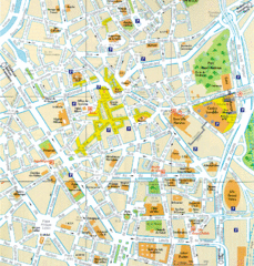
Lille Center Map
Street map of Lille city center
318 miles away
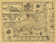
Old Maps: Cornwall Map
Map of Cornwall from The Theatre and Empire of Great Britain
320 miles away
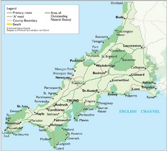
Cornwall Map
Map of Cornwall with detail of towns and cities
322 miles away
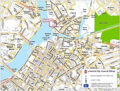
Limerick City Map
City map of Limerick, Ireland with City Council offices highlighted
323 miles away
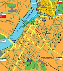
Central Limerick, Ireland Tourist Map
323 miles away
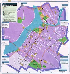
Limerick Tourist Map
Tourist map of central Limerick, Ireland. Shows tourist points of interest in city center...
323 miles away
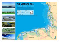
Wadden Sea Map
Map of Wadden Sea area and trilateral conservation area. Consists of lands and waters in The...
323 miles away
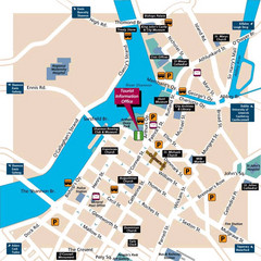
Limerick Tourist Map
324 miles away
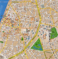
Antwerp Tourist Map
Tourist map of central Antwerp, Belgium. Scanned.
324 miles away
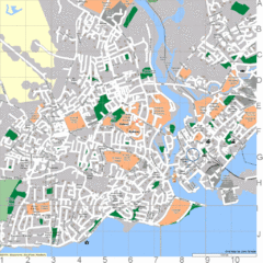
Galway, Ireland Tourist Map
325 miles away
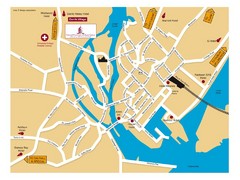
Galway, Ireland Tourist Map
325 miles away

Galway City Map
City map of Galway, Ireland showing city streets, schools, and parking.
325 miles away
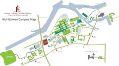
NUI Galway Campus Map
Map of National University of Ireland, Galway Campus
325 miles away
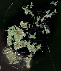
Orkney Islands Map
Guide to the Orkney Islands, northern most islands of the United Kingdom
326 miles away
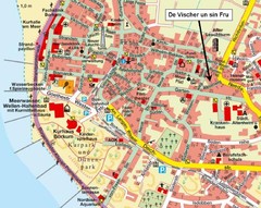
Borkum Street Map
Street map of town of Borkum
330 miles away
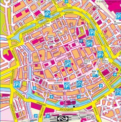
Groningen City Map
City map of central Groningen, The Netherlands. Some hotels highlighted.
332 miles away
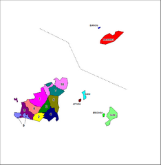
Guernsey Parish Map
Guide to the parishes of Guernsey, a British Crown Dependency in the English Channel
338 miles away

St Ives Cornwall Tourist Map
A large, detailed map of St. Ives. Marked with street names and many of the basic services such as...
338 miles away
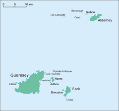
Guernsey Island Map
Guide to Guernsey, and island in teh English Channel
339 miles away
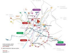
Brussels Transit Map
341 miles away
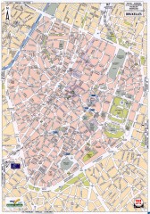
Brussels Street Map
Street map of the center of Brussels, Belgium (Brussel, Bruxelles). Major buildings labeled.
342 miles away
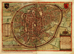
Medieval Brussels Map
343 miles away
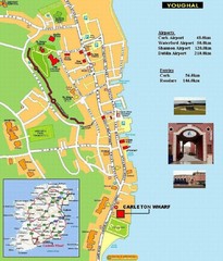
Cork, Ireland Tourist Map
343 miles away
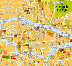
Cork, Ireland Tourist Map
343 miles away
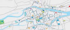
Cork City Map
Street map of Cork City
343 miles away

Carrigaline Town Map
343 miles away
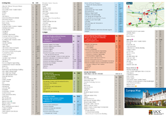
UCC Campus Map
344 miles away

