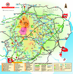
Dartmoor National Park Map
Official visitor map of Dartmoor National Park, England. Shows elevation and visitor attactions.
286 miles away
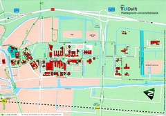
Delft University of Technology Map
287 miles away
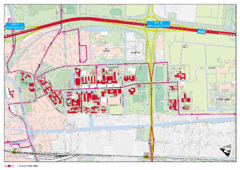
Delft University of Technology Campus Map
288 miles away
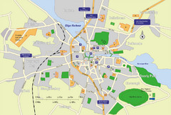
Sligo City Map
Map of Sligo with tourist information
289 miles away
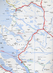
Elphin Map
289 miles away
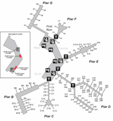
Amsterdam Airport Schipol Map
290 miles away
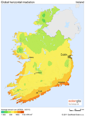
Solar Radiation Map of Ireland
Solar Radiation Map Based on high resolution Solar Radiation Database: SolarGIS. On the Solar Map...
290 miles away
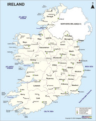
Ireland Political Map
290 miles away
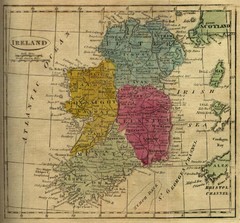
1808 Ireland Historical Map
290 miles away
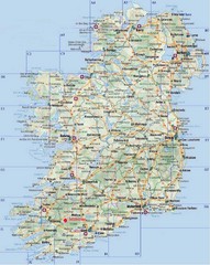
Ireland Tourist Map
290 miles away
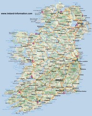
Ireland Travel Map
Map of Ireland detailing cities, major roads and airports.
290 miles away
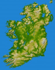
Ireland Topo Map
Shading and color-coding of topographic height.
290 miles away
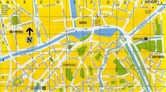
North Bruges Map
Map of northern part of Bruges city
290 miles away
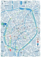
Brugge Tourist Map
Tourist map of Brugges, Belgium. Shows buildings and streets.
291 miles away
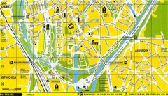
South Bruges Map
Map of the southern part of Bruges city
291 miles away
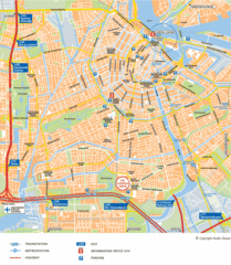
Amsterdam Tourist Map
292 miles away
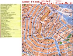
Amsterdam Tourist Map
292 miles away
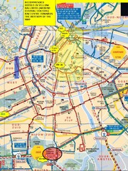
Amsterdam Hotel Map
292 miles away
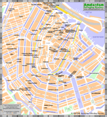
Amsterdam Coffee Shops Map
292 miles away
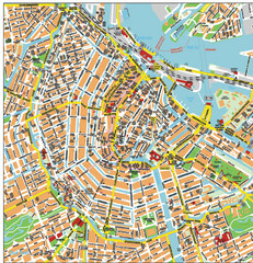
Amsterdam City Tourist Map
292 miles away
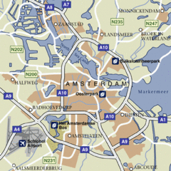
Amsterdam Airport Tourist Map
292 miles away
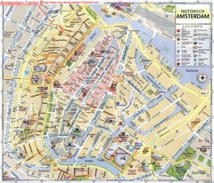
Amsterdam City Tourist Map
292 miles away
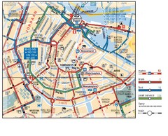
Amsterdam Transit Map
292 miles away
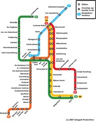
Amsterdam Metro Map
292 miles away
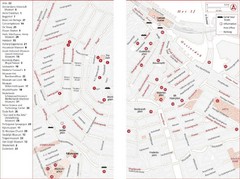
Amsterdam Tourist Map
Main attractions for sightseers in Amsterdam
292 miles away
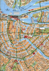
Amsterdam Center Map
292 miles away
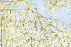
Amsterdam Map
Street map of Amsterdam, Netherlands.
292 miles away
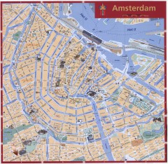
Amsterdam Tourist map
Shows major tourist points of interest. Scanned.
292 miles away
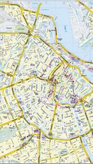
Amsterdam Central City Map
City map of Amsterdam Central
292 miles away
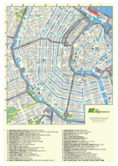
Amsterdam Map
Guide to cannabis cafes in Amsterdam
292 miles away
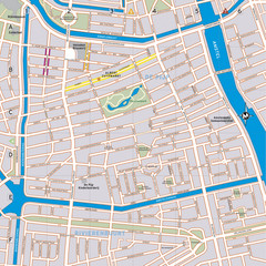
De Pijp Neighborhood Map
De Pijp neighborhood in Amsterdam map
292 miles away
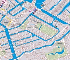
Waterlooplein, Plantage and Oosterpark Tourist Map
Waterlooplein, Plantage and Oosterpark neighborhoods in Amsterdam
292 miles away

South Hams England Map
Map of South Hams, England showing cities,parks, major roads and railways.
295 miles away
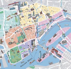
Rotterdam Tourist Map
Tourist map of Rotterdam, Netherlands. Largest port in Europe.
295 miles away
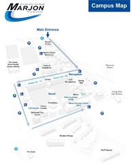
University College Plymouth Map
University College Plymouth St Mark & St John Derriford Road, Plymouth, Devon PL6 8BH
299 miles away
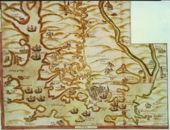
Plymouth Map 1500s
Map of Plymouth, England area in late 1500s
302 miles away
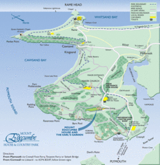
Mount Edcumbe Tourist Map
304 miles away
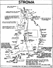
Stroma Tourist Map
304 miles away
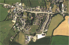
St Issey in Bloom Map
309 miles away
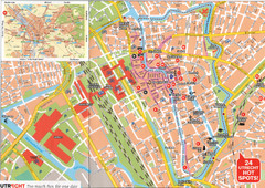
Utrecht Map
310 miles away

