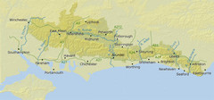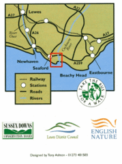
East Sussex, England Bus System Route Map
249 miles away
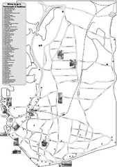
Portsmouth and Southsea Tourist Map
Tourist map of "where to go" in Portsmouth and Southsea, England. Includes photos of...
249 miles away
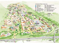
University of Sussex Campus Map
Official campus map of University of Sussex. Shows campus buildings and points of interest.
249 miles away
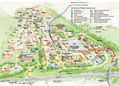
University of Sussex Campus Map
250 miles away
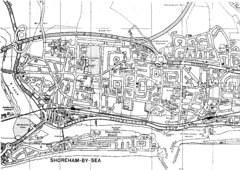
Shoreham-by-Sea, England City Map
250 miles away
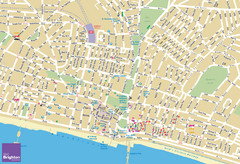
Brighton Tourist Map
Street map of Brighton, UK. Shows gay points of interest.
252 miles away
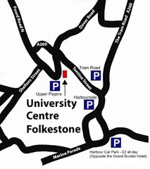
University Centre at Folkestone Map
252 miles away
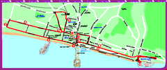
Brighton bus tour map
Brighton bus tour map - City Sightseeing
252 miles away
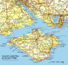
Isle of Wight Map
Based on 1950's map with no motorways
253 miles away
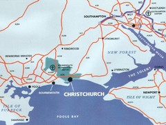
Christchurch, England Region Map
254 miles away

Bournemouth bus tour map
Bournemouth bus tour map - City Sightseeing
255 miles away
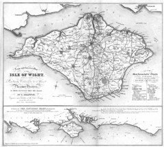
Isle of Wight Map
256 miles away
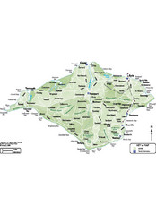
Isle of Wight Map
256 miles away
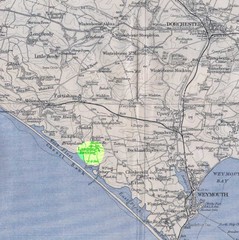
Dorchester, England Region Map
256 miles away
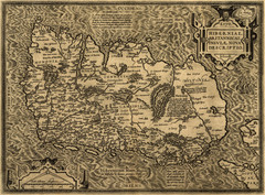
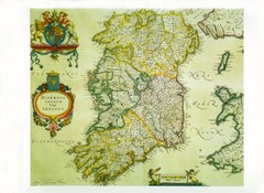
Ortelius’ Map of Ireland (1598)
Abraham Ortelius' map of Ireland in 1598.
257 miles away
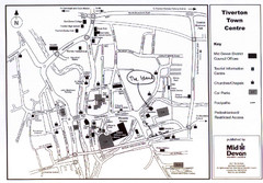
Tiverton Town Center Map
Black and white map shows major streets in Tiverton, Devon.
258 miles away
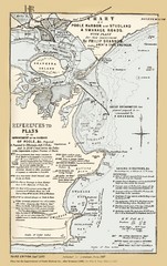
1857 Poole Harbor Map
Guide to the peninsula and improvements in the Harbor
258 miles away
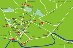
Letterkenny Map
259 miles away
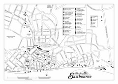
Eastbourne England Tourist Map
Central Eastbourne, England street level tourist map showing tourist sites, parks and city...
260 miles away
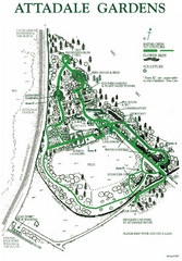
Attadale Gardens Map
Map of beautiful gardens and paths for a relaxing time. 20 acres of conifers and rhododendrons.
262 miles away
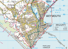
Weymouth, England Region Map
266 miles away
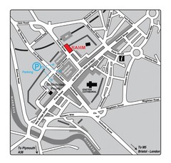
Royal Albert Memorial Museum Location Map
271 miles away
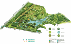
Stover Country Park Map
271 miles away
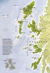
Hebrides Islands Map
271 miles away
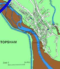
Topsham Street Map
272 miles away
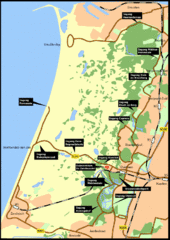
Nationaal Park Zuid-Kennemerland Map
Park overview map of Zuid-Kennemerland National Park (NPZK), Netherlands
278 miles away
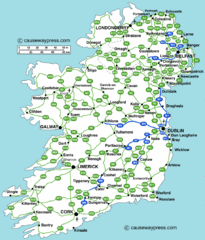
Road Map of Ireland
Road map of Ireland showing all motorways and major roads.
280 miles away
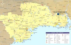
Waterford Tourist Map
This map and key allow you to find a high number of activities and points of interest in this fun...
282 miles away
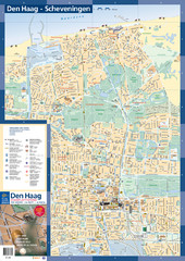
The Hague Tourist Map
Tourist map of The Hague, Netherlands. Shows points of interest.
282 miles away
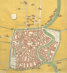
Haarlem City Map
Haarlem city center map from 1550
282 miles away
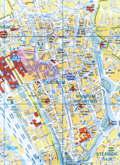
Utrecht, Netherlands Tourist Map
283 miles away
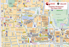
Den Haag, Netherlands Tourist Map
283 miles away
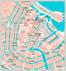
Den Haag, Netherlands Tourist Map
283 miles away
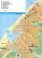
The Hague Hotel Map
Hotel map of The Hague, Netherlands. Shows tram stops. Congress centre highlighted.
283 miles away

Europe Political Map
283 miles away
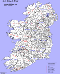
Ireland County/ Barony Map
Barony and County Map of Ireland
284 miles away
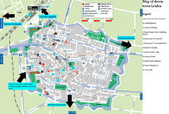
Leiden Tourist Map
Tourist map of downtown Leiden, The Netherlands. Shows some hotels and other points of interest.
285 miles away

Owenea Fishery Map
Road Map of Owenea Fishery. Shows the location of the Owenea Fishery including all roads, towns...
285 miles away

