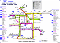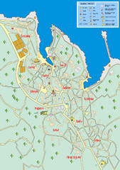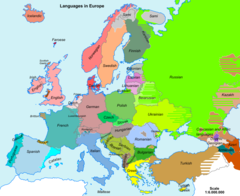
Danube River Basin by Maps Illustrated Map
Map from Diplomat magazine from an article on the economic region based on the Danube Basin
259 miles away
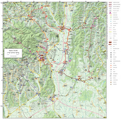
Zagreb County Cycling Route Map
Shows a cycling route in Zagreb County, Croatia. From the Roman “Magna Vie” near Komin...
260 miles away
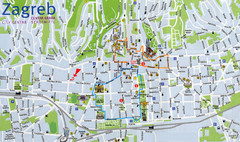
Zagreb Croatia Tourist Map
Zagreb City Centre Tourist map showing tourist attractions, hotels, tourist information and city...
261 miles away
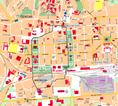
Zagreb Center Map
261 miles away
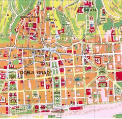
Zagreb Tourist Map
Tourist map of central Zagreb, Croatia. Shows major buildings.
261 miles away
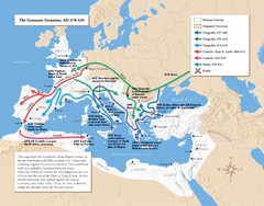
Germanic Invasions Map 378-439
Shows the breakdown of the Roman frontier in the late 4th and early 5th centuries.
263 miles away
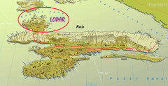
Rab Island Map
Shows beaches on Rab Island, Croatia
264 miles away
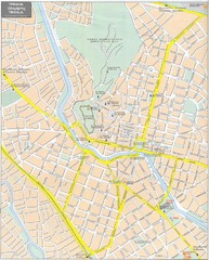
Trikala Street Map
Street map of central Trikala, Greece. In Greek and English. Scanned.
264 miles away
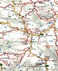
Hunedoara Map
264 miles away
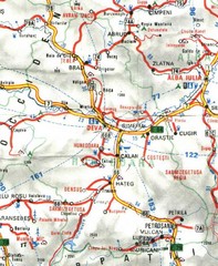
Hunedoara Map
264 miles away
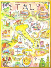
Italy Map
Work of art from my travel sketch books. Watercolor and ink original. Archival quality poster (13...
265 miles away
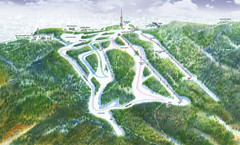
Medvednica Ski Trail Map
Trail map from Medvednica.
267 miles away

Silvi Marina commune Map
268 miles away

Silvi Marina environs Map
268 miles away

Silvi Marina centro Map
268 miles away
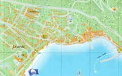
Baska Krk Tourist Map
Tourist map of Baska Krk, Croatia. Scanned.
270 miles away
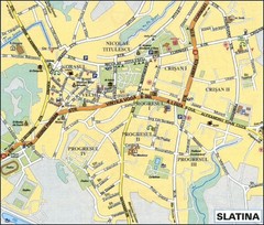
slatina-olt-romania Map
271 miles away
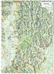
Villages and Sutla River Valley Bike Route Map
Bike routes and trails through the villages to the Sutla River Valley in Croatia. Note: The map...
272 miles away
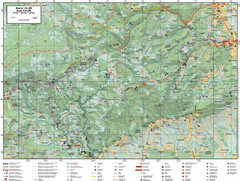
Samobor Region Cycling Route Map
Cycling route map for region west of Samobor, Croatia. Shows all routes in km
273 miles away

Giulianova Map
274 miles away

Novi Vinodolski Street Map
Street map of Novi Vinodolski, Croatia. Scanned.
274 miles away

Giulianova Centro Storico Map
274 miles away
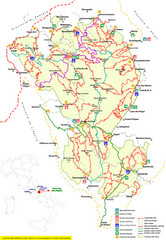
Parco Nazionale della Majella Trail Map
Trail map of Majella National Park (Parco Naz. della Majella) in Italy. Indicates under revision...
274 miles away
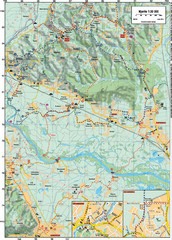
Sulta and Sava Croatia Cycling Route Map
the trails on this map are through picturesque hills to the confluence of the Sutla and Sava Rivers...
274 miles away
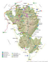
Parco Nazionale della Majella Map
General map of Majella National Park (Parco Naz. della Majella) in Italy. In Italian.
276 miles away
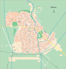
Karlova Street Map
Street map of Karlova, Bulgaria.
277 miles away
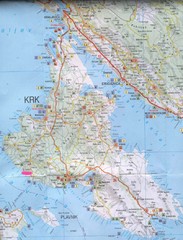
Krk Tourist Map
Tourist map of island of Krk, Croatia. Second biggest island in Croatia
278 miles away
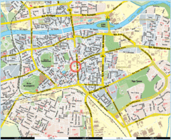
Plovdiv City map
280 miles away
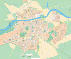
Plovdiv City Map
Detailed city map of Plovdiv, Bulgaria, the second largest city in Bulgaria. In Cyrillic.
280 miles away
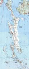
Cres & Losinj Island Map
Tourist map of island of Cres and island of Losinj, Croatia.
282 miles away

Cres Island Map
Road map of island of Cres, Croatia. Biggest island in Croatia.
282 miles away
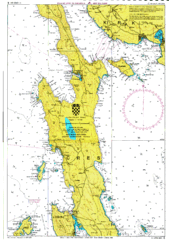
Cres hajózási Map
283 miles away

Sulmona vicinity Map
283 miles away

Sulmona Map
284 miles away
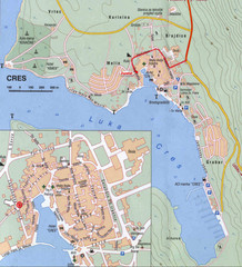
Cres City Map
City map of Cres, Island of Cres, Croatia.
284 miles away
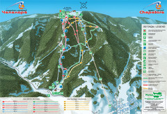
Chepelare ski map
285 miles away

