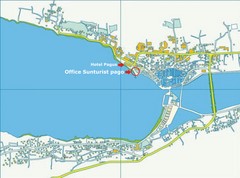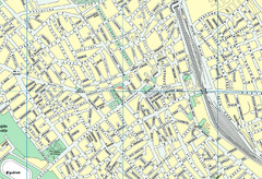
Szabadka belváros Map
221 miles away
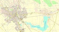
Szabadka és környéke Map
221 miles away
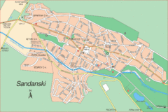
Sandanski Map
221 miles away
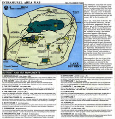
Butrint and its monuments Map
222 miles away
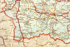
Blagoevgrad Area Map
Guide to area around Blagoevgrad, Bulgaria
222 miles away
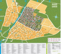
Bansko Tourist Map
Tourist map of Bansko, Bulgaria. Shows points of interest, hotels, and restaurants. Near the...
223 miles away
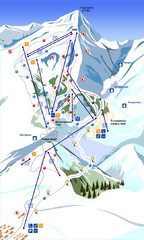
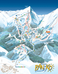
Bansko Ski Map
224 miles away
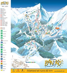
Bansko Trail Map
Ski Resort Map for Bansko, Bulgaria showing ski runs, lifts and amenities of the resort.
224 miles away
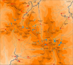
Pirin Mountains Chalet Map
Map of Pirin Mountains in Pirin National Park, near Bansko, Bulgaria. Shows peaks and mountain...
224 miles away
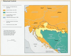
Croatia Historical Control Map
224 miles away
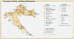
Croatia Economic Activity Map
Map of Croatia's economic activity and natural resources
225 miles away
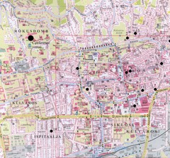
Pecs City Map
226 miles away
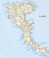
Corfu Guide Map
230 miles away
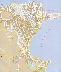
Corfu Town Map
Tourist map of town of Corfu (Kerkyra) on the island of Corfu, Greece.
230 miles away
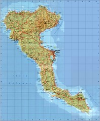
Corfu Tourist Map
Tourist map of island of Corfu, Greece. Shows roads and points of interest.
230 miles away
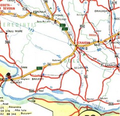
Dolj Map
230 miles away
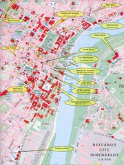
Szeged Tourist Map
Tourist map of central Szeged, Hungary. Shows points of interest.
234 miles away
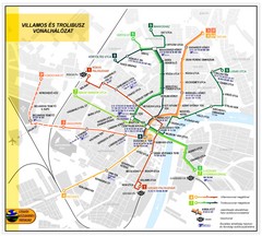
Szeged Public Transportation Map (Hungarian)
234 miles away
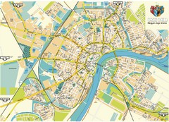
Szeged Map
Map of central Szeged, Hungary
234 miles away
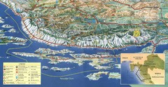
Pag Island Panoramic Map
Shows area around island of Pag, Croatia
237 miles away
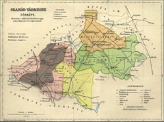
Csanád vármegye Map
240 miles away
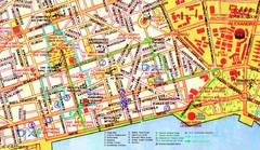
Thessaloniki Map
242 miles away
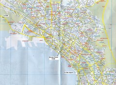
Thessaloniki Map
242 miles away
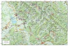
Bike Route starting in Ivanić-Grad Map
Bike route and trails through the cradle of Croatia’s oil drilling industry and the wondrous...
243 miles away
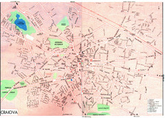
Craiova Tourist Map
Tourist map of Craiova, Romania. Shows points of interest. Scanned.
243 miles away
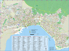
Thessaloniki Tourist Map
Tourist map of Thessaloniki, Greece. Shows points of interest and proposed hotels.
244 miles away
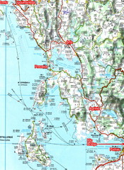
Igoumenitsa to Patras Travel Map
244 miles away
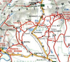
Gorj Map
244 miles away
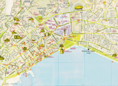
Thessaloniki Tourist Map
Map of the city center Thessaloniki, Greece showing streets, tourist sites and public buildings.
244 miles away
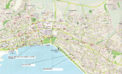
Triandria, Greece Map
245 miles away
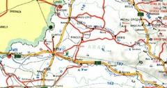
Arad Map
245 miles away
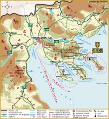
Thessaloniki Tourist Map
248 miles away
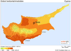
Solar Radiation Map of Cyprus
Solar Radiation Map Based on high resolution Solar Radiation Database: SolarGIS. On the Solar Map...
256 miles away
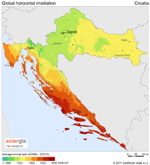
Solar Radiation Map of Croatia
Solar Radiation Map Based on high resolution Solar Radiation Database: SolarGIS. On the Solar Map...
256 miles away
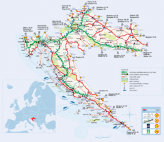
Coratia Tourist Map
Map of Croatia showing roads, international border crossings, parks, airports and ferrys.
256 miles away
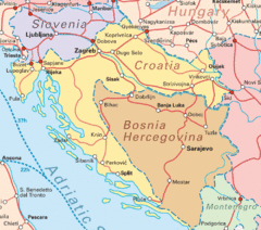
Interrail Routes for Croatia Map
Interrail railway routes for Croatia, Bosnia Hercegovina, Slovenia, and Hungary.
256 miles away
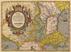
1612 - Abraham Ortelius Map
ROMA:|NIAE, | "(quæ olim Thracia dicta)" | VICINORVMQ[UE] REGIO:|NVM, VTI BVLGARIAE...
257 miles away
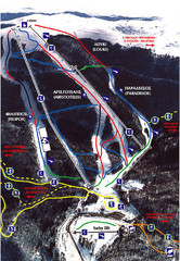
3–5 Pigadia Ski Trail Map
Trail map from 3–5 Pigadia.
258 miles away

