Island of Hvar Map
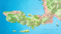
Map of the Island Hvar, Croatia showing roads and cities.
131 miles away

Hvar Island Map
Nautical map of the island of Hvar. Town of Sucuraj highlighted.
132 miles away
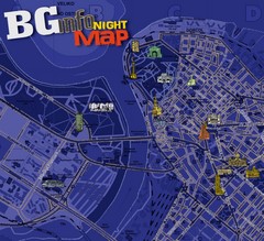
Belgrade Night Map
Tourist map of Belgrade, Serbia with recommendations for nightlife. Published quarterly in...
142 miles away

Arkabarka Hostel Location Map
142 miles away
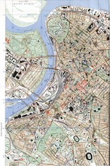
Belgrade Map
City map of Belgrade, Serbia (Beograd)
142 miles away
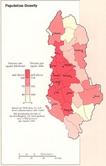
Albania Population Map
Population density map of Albania
143 miles away
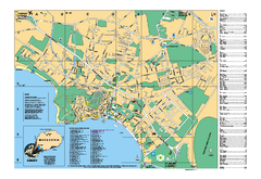
Ohrid tourist map
City of Ohrid - travel map. City names, places of interest.
145 miles away
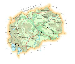
Macedonia Map
146 miles away
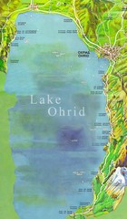
Lake Ohrid Tourist Map
Tourist map of Lake Ohrid in Macedonia. Shows points of interest around the lake
148 miles away

Central Balkan Map
Countries in Central Europe
148 miles away
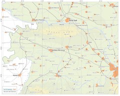
Urban areas in Srem region (Vojvodina, Serbia) Map
Srem is a part of Vojvodina province between river Sava and Danube. Largest places are Sremska...
151 miles away
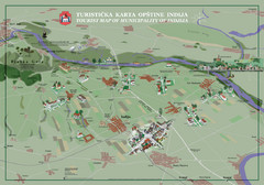
Indija Tourist Map
Tourist map of municipality of Indija, Serbia
152 miles away
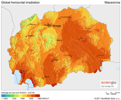
Solar Radiation Map of Macedonia
Solar Radiation Map Based on high resolution Solar Radiation Database: SolarGIS. On the Solar Map...
152 miles away
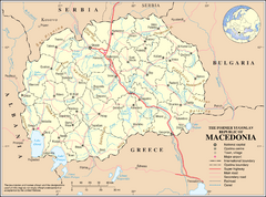
Macedonia Overview Map
152 miles away
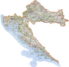
Croatia Tourist Map
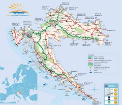
Map of Croatia's roads, cities, and areas
152 miles away
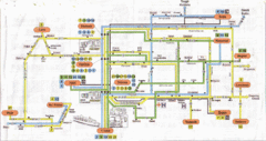
Split Bus Map
153 miles away
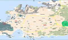
Split Tourist Map
153 miles away
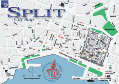
Split Tourist Map
Tourist map of central Split, Croatia.
153 miles away
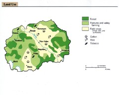
Macedonia land use Map
154 miles away
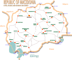
Macedonia road Map
156 miles away
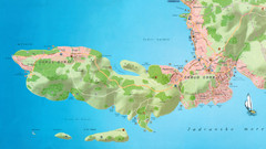
Okrug Donji and Okrug Gornji Tourist Map
Tourist map of Okrug Donji, Croatia and Okrug Gornji, Croatia
162 miles away
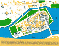
Trogir Croatia Tourist Map
Trogir, Croatia tourist map showing monuments and tourist sites with a legend.
162 miles away
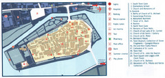
Trogir Tourist Map
Tourist map of old island town Trogir, Croatia. Shows points of interest.
162 miles away
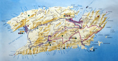
Vis Island Map
163 miles away
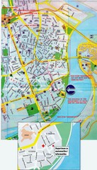
Novi Sad City Map
City map of central Novi Sad, Serbia. Bus route to a conference drawn on top of scanned map.
163 miles away
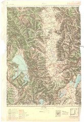
Bitola Region Topo Map
Topo map of the region surrounding Bitola, Macedonia.
165 miles away
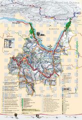
Majdanpek Tourist Map
Tourist map of municipality of Majdanpek, Serbia. Shows points of interest. In Serbian.
166 miles away
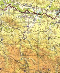
Banja Luka Region Map
168 miles away

Slavonski Brod Tourist Map
Map of Slavonski Brod, Croatia showing streets, hotels, restaurants and tourist attractions.
169 miles away

Bács Map
171 miles away

Temerin Map
175 miles away
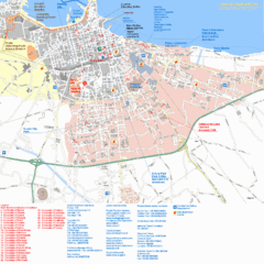
Bari Tourist Map
Tourist map of Bari, Italy. Shows consulates and points of interest.
178 miles away
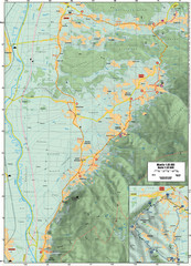
Cycling Paths in Croatia - Medvednica Nature Park...
Bike Paths and Routes for the picturesque western foothills of Medvednica Nature Park. Note: The...
180 miles away
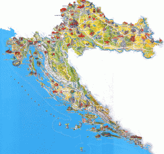
Croatia Tourist Map
Cool illustrated tourist map highlights significant tourist destinations with drawings of buildings...
180 miles away
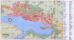
Sibenik City Map
City map of Sibenik, Croatia. Shows index for points of interest. In Croatian.
183 miles away

Bácsföldvár Map
184 miles away

