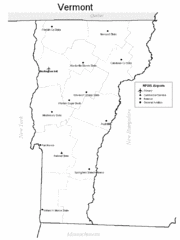
Vermont Airports Map
89 miles away
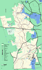
Douglas State Forest trail map
Trail map of the Douglas State Forest in Massachusetts
89 miles away
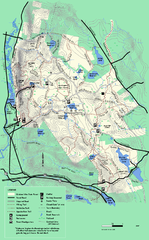
October Mountain State Forest trail map
Trail map of October Mountain State Forest in Massachusetts.
89 miles away
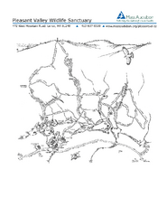
Pleasant Valley Wildlife Sanctuary Trail Map
Trail map of Pleasant Valley Wildlife Sanctuary
90 miles away
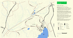
Douglas State Park Detail Map
90 miles away
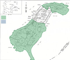
Thompson Island Easement Map
Map of Thompson Island easement. Includes roads, buildings, trails and attractions as well as the...
90 miles away
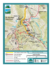
Smugglers Notch Trail Map
Trail map for Smugglers Notch State Park in Vermont
90 miles away
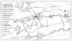
Lenox Town Map
Hand-drawn town map of Lenox, Mass. Bordered by Lenox Mountain and October Mountain. Shows points...
90 miles away
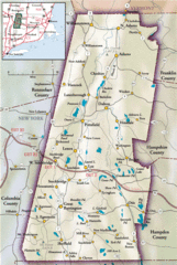
Berkshires Map
Overview map of the Berkshires region of Western Massachusetts
90 miles away
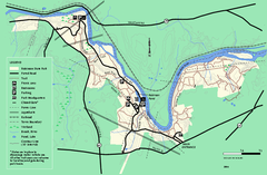
Robinson State Park trail map
Trail map of Robinson State Park in Massachusetts.
90 miles away
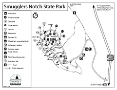
Smugglers Notch State Park Campground Map
Campground map of Smugglers Notch State Park in Vermont
91 miles away
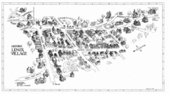
Lenox Village Map
Hand-drawn village map of historic center of Lenox, Massachusetts
91 miles away
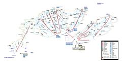
Stowe Mountain Resort Ski Trail Map
Trail map from Stowe Mountain Resort, which provides downhill, nordic, and terrain park skiing. It...
91 miles away
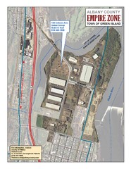
Green Island Map
Aerial town map of Green Island, New York on the Hudson River
91 miles away
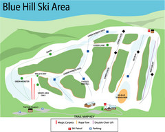
Blue Hills Ski Area Ski Trail Map
Trail map from Blue Hills Ski Area.
91 miles away
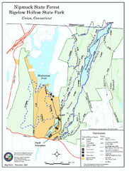
Bigelow Hollow State Park trail map
Trail map of Bigelow Hollow State Park in Connecticut.
91 miles away
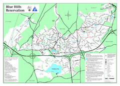
Blue Hills State Park Map
Clearly marked state park map of this beautiful state park.
91 miles away
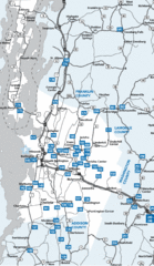
Chittenden County Map
91 miles away
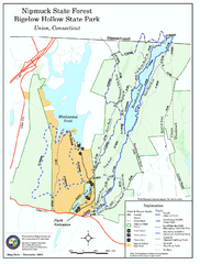
Nipmuck State Forest trail map
Trail map of Nipmuck State Forest and Bigelow Hollow State Park in Connecticut.
91 miles away
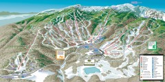
Stowe ski trail map 2006-07
Complete ski trail map of Stowe Mountain resort for 2006-2007 season.
92 miles away
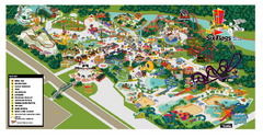
Six Flags New England Theme Park Map
Official Park Map of Six Flags New England in Massachusetts.
92 miles away
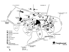
Tanglewood Map
Detailed map of the Tanglewood grounds that includes the location of the Box Office, Friends Office...
92 miles away
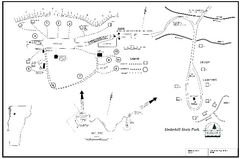
Underhill State Park Campground Map
Campground map for Underhill State Park in Vermont.
92 miles away
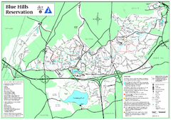
Blue Hills Reservation Trail Map
Trail map of the Blue Hills Reservation in Massachusetts
92 miles away
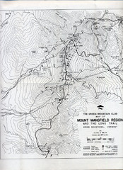
Mount Mansfield Map
Long Trail map for Green Mountains in Vermont
92 miles away
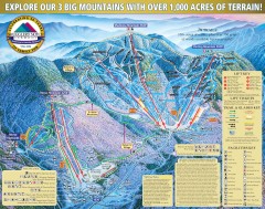
Smugglers' Notch Ski Trail map 2006-07
Official ski trail map of Smugglers' Notch (Smuggs) ski area from the 2006-2007 season.
93 miles away
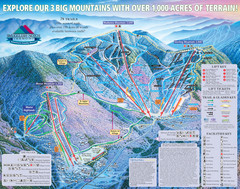
Smugglers’ Notch Resort Ski Trail Map
Trail map from Smugglers’ Notch Resort.
93 miles away
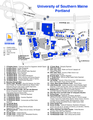
University of Southern Maine - Portland Map
93 miles away
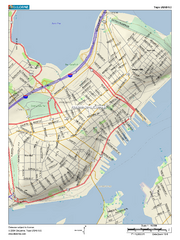
Portland, Maine City Map
94 miles away
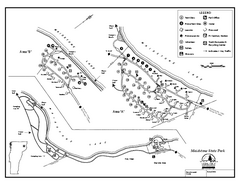
Maidstone State Park Campground Map
Campground map of Maidstone Lake State Park in Campground
94 miles away
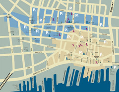
Portland, Maine Tourist Map
94 miles away
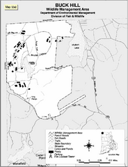
Buck Hill Wildlife Management Area Map
94 miles away
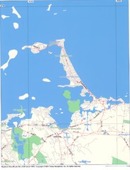
Hull Town Map
95 miles away
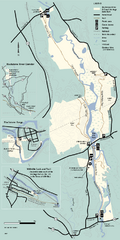
Blackstone Trail Map
Map of Blackstone River State Park in Massachusetts.
95 miles away
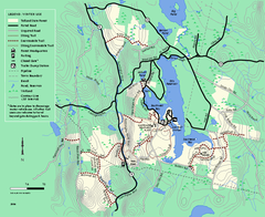
Tolland State Forest winter trail map
Winter usage trail map of the Tolland State Forest area in Massachusetts.
95 miles away
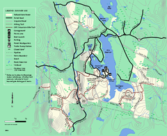
Tolland State Forest summer trail map
Summer use map for Tolland State Forest in Massachusetts.
95 miles away
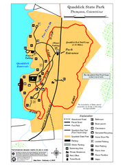
Quaddick State Park Trail Map
96 miles away
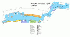
Burlington International Airport Terminal Map
Official Terminal Map of Burlington International Airport. All areas shown.
96 miles away
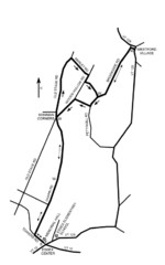
30K Race Course Map
Green Mountain Athletic Association Common to Common 30K Course Map in Essex Junction, VT
96 miles away

