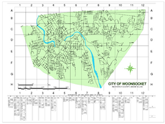
Woonsocket Street Map
Street map of Woonsocket, Rhode Island. Shows street legend.
96 miles away
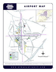
Albany International Airport Map
Official Map of the Albany International Airport in New York. Shows all terminals.
96 miles away
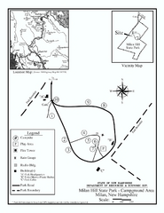
Milan Hill State Park Campground map
Campground map for Milan Hill State Park in New Hampshire.
96 miles away
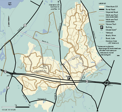
Wrentham State Forest trail map
Trail map of Wrentham State Forest in Massachusetts.
96 miles away
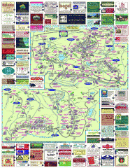
South County Berkshires map
Tourist map of Great Barrington, Housatonic, Sheffield, S. Egremont, N. Egremont Lenox, Stockbridge...
96 miles away
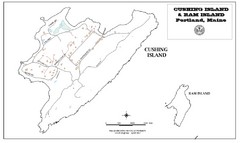
Cushing Island Map
Also shows Ram Island
97 miles away
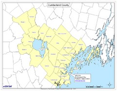
Cumberland County Map
Map showing all city divisions of Cumberland County, Maryland with specific location of the CPCOG.
97 miles away
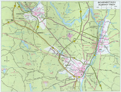
Albany, New York City Map
97 miles away
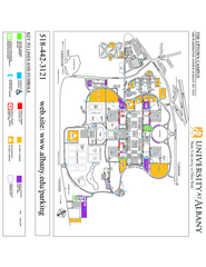
University at Albany Map
Campus Map of the University at Albany. All buildings shown.
97 miles away
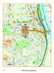
Albany downtown map
Road map of downtown Albany, NY. Shows city parks and New York State government buildings.
97 miles away
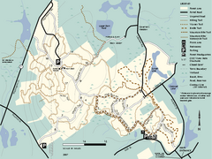
F. Gilbert Hills State Forest trail map
F. Gilbert Hills State Forest trail map in Massachusetts.
97 miles away
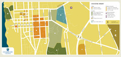
Burlington, Vermont City Tourist Map
The city of Burlington, Vermont
97 miles away
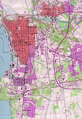
Burlington Vt 87 Map
Topographical map of the city of Burlington, Vt.
97 miles away
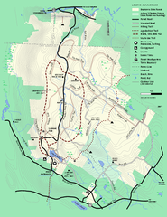
Beartown State Park Summer Map
Summer Map of Beartown State Park in Massachusetts.
97 miles away
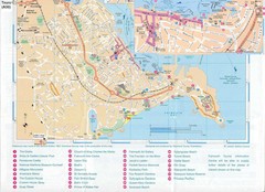
Falmouth Map
Map of Falmouth town and bay. Includes roads, parks, accommodations and attractions.
97 miles away
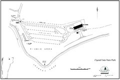
Crystal Lake State Park Map
Trail map of Crystal Lake State Park in Vermont
97 miles away
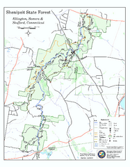
Trail map of Shenipsit State Forest
Trail map of Shenipsit State Forest in Connecticut.
97 miles away
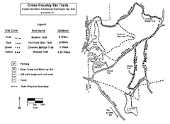
Pulaski State Park Map
97 miles away
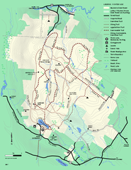
Beartown State Park Winter Map
Winter use map of Beartown State Park in Massachusetts
98 miles away
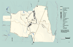
Granville State Forest trail map
Trail map of Granville State Forest in Massachusetts
98 miles away
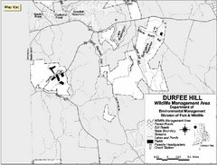
Durfee Hill Wildlife Management Area Map
98 miles away
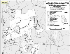
George Washington Wildlife Management Area Map
98 miles away
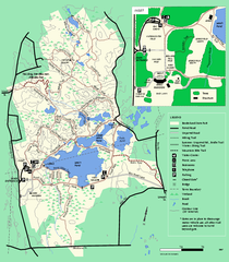
Borderland State Park trail map
Trail map of Borderland State Park in Massachusetts
99 miles away
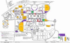
New York State University Uptown Campus Map
Map of the NYS University Campus, including all buildings, streets, and Visitors Parking...
99 miles away
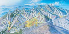
Sunday River Ski Trail map 2006-07
Official ski trail map of Sunday River ski area from the 2006-2007 season.
99 miles away
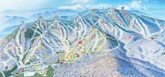
Sunday River Ski Resort Ski Trail Map
Trail map from Sunday River Ski Resort.
99 miles away
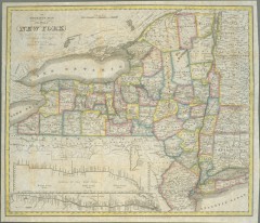
1831 Antique New York State map
The tourist's map of the state of New York : compiled from the latest authorities in the...
99 miles away
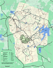
Wompatuck State Park trail map
Trail map of Wompatick State Park in Massachusetts.
99 miles away
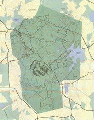
Wompatuck Park Trail Map
Map of Wompatuck Park including trails and roads and park features
99 miles away
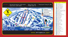
Mt. Abram Ski Resort Ski Trail Map
Trail map from Mt. Abram Ski Resort.
100 miles away
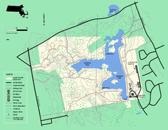
Ames Nowell State Park Map
Trail map of Ames Nowell State Park in Massachusetts
100 miles away
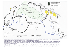
Sprague Farm - Glocester Land Trust Map
100 miles away
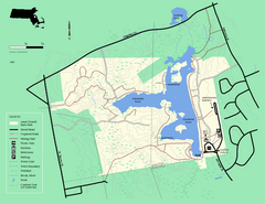
Ames Nowell State Park Map
Simple map of this beautiful state park. Visit and hike, bike, and shop!
100 miles away
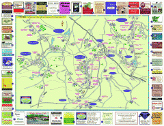
Columbia County - Austerlitz, Canaan, Chatham...
Tourist map of Columbia County including towns of Austerlitz, Canaan, Chatham, East Chatham Ghent...
100 miles away
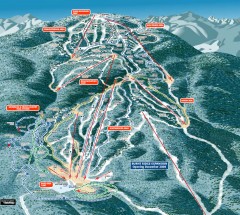
Gore Mountain Ski Trail Map
Official ski trail map of Gore Mountain ski area from the 2007-2008 season.
101 miles away
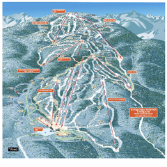
Gore Mountain Ski Trail Map
Trail map from Gore Mountain.
101 miles away
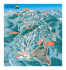
Gore Mountain Ski Trail Map
Trail map from Gore Mountain.
101 miles away
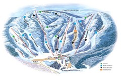
Butternut Ski Area Ski Trail Map
Trail map from Butternut Ski Area.
101 miles away
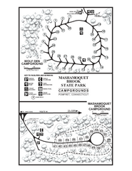
Mashamoquet Brook State Park campground map
Campground map of Mashamoquet Brook State Park in Connecticut.
102 miles away
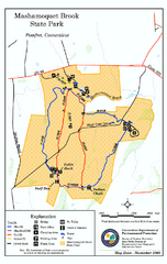
Mashamoquet Brook State Park trail map
Trail map of Mashamoquet Brook State Park in Connecticut.
102 miles away

