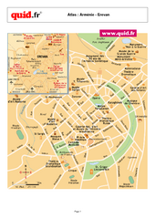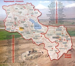
Armenia and Nagorny Karabakh Map
Map of Armenian states - the Republic of Armenia and the Nagorno-Karabakh Republic
841 miles away
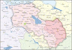
Republic of Armenia and Nagorno-Karabakh Republic...
Map of the Republic of Armenia and the Nagorno-Karabakh Republic (Artsakh)
841 miles away
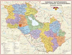
Administrative Map of Armenia & Nagorny...
Administrative Map of the Republic of Armenia and the Nagorno-Karabakh Republic
841 miles away
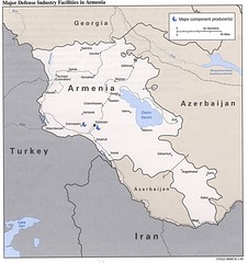
Armenia Defense Facilities Map
Map of major defense industry facilities in Armenia
841 miles away
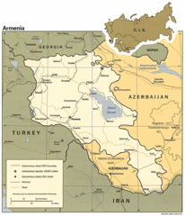
Armenia Map
Map of Armenia showing cities, roads and railways as well as international boundaries.
841 miles away

Administrative Division of Armenia Map
Administrative Division of the Republic of Armenia
842 miles away
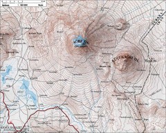
Mt. Ararat Topo Map
845 miles away

Saudi geology Map
845 miles away
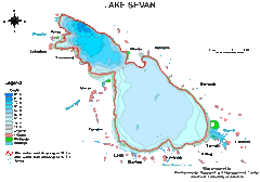
Lake Sevan water levels Map
845 miles away
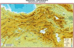
Armenian Highland Map
Map of the Armenian Haghland
846 miles away

Armenia overlaid over southern California Map
852 miles away
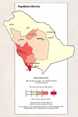
Saudi Arabia Population Density Map
Map of Saudi Arabia's population density
856 miles away

Armenia & Karabakh Map
Map of Armenian states - the Republic of Armenia and the Nagorno-Karabakh Republic
856 miles away
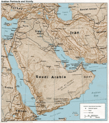
Arabian Peninsula Tourist Map
859 miles away

Middle East Map
859 miles away
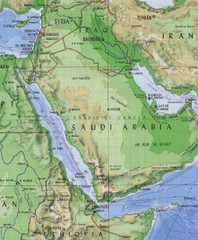
Arabia and the Red Sea Elevation Map
Pre-Islamic Arabia and the early empire elevation map
859 miles away
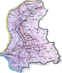
Sindh Guide Map
860 miles away

Fan Mountains Topo Map
Topographical map of the Fan Mountains (Fans) in Tajikistan. Home of over 10 5000+ meter peaks...
860 miles away

Ethno-Linguistic Groups in the Caucasus Map
Map of Ethno-Linguistic Groups in the Caucasus Region
860 miles away
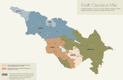
Political Map of the South Caucasus
True Map of the South Caucasus
861 miles away
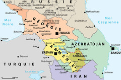
Political Map of the South Caucasus
Political Map of the South Caucasus
861 miles away
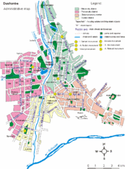
Dushanbe City Map
863 miles away
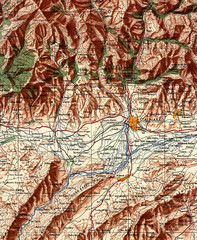
Stalinabad 1956 Map
Road Map of Area around Dushanbe formerly Stalinabad.
863 miles away
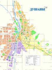
Dushanbe City Map
City map of Dushanbe, Tadjikistan. In Russian.
863 miles away
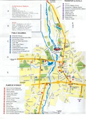
Dushanbe Tourist Map
Tourist map of Dushanbe, Tajikistan. Shows hotels, public buildings, transport, and places of...
863 miles away
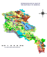
Armenia Hydrological Map
864 miles away
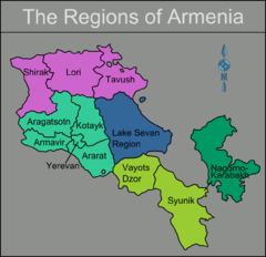
Armenia regions Map
866 miles away
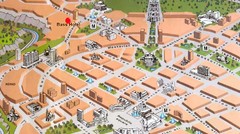
Yerevan Tourist Map
867 miles away
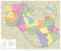
Karabakh & Armenia Map
Map of Armenian states - the Republic of Armenia and the Nagorno-Karabakh Republic
867 miles away
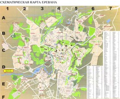
Yerevan Tourist Map
Tourist map of Yerevan, Armenia. Shows streets. In Russian.
867 miles away
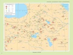
Armenian Highland Major Earthquakes Map
Map of the Major Earthquakes on the Armenian Highland
868 miles away
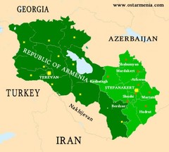
Nagorny Karabakh & Armenia Map
Map of the Nagorno-Karabakh Republic (Artsakh) and the Republic of Armenia
868 miles away
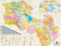
Armenia & Karabakh Road Map
Road-Map of the Republic of Armenia and the Nagorno-Karabakh Republic (Artsakh) in English and...
868 miles away
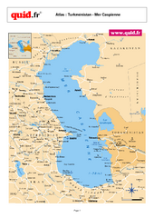
Caspian Sea Map
Map of Caspian Sea and surrounding region
868 miles away
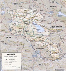
Armenia Map
870 miles away
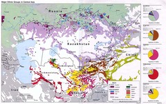
Central Asia Ethnic Groups Map
Map of major ethnic groups in Central Asia
873 miles away
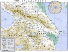
Detailed map of Caucasus region
875 miles away
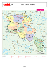
Armenia Regional Map
Country map with detail of regional divides
876 miles away
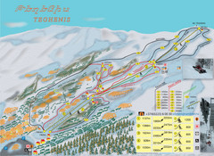
Tsakhkadzor Ski Trail Map
Trail map from Tsakhkadzor, which provides downhill skiing. This ski area has its own website.
876 miles away

