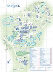
University of Warwick Campus Map
Near Coventry, West Midlands
86 miles away
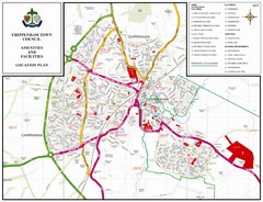
Chippenham Town Map
87 miles away
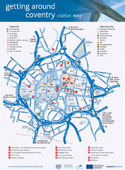
Coventry Tourist Map
Tourist map of central Coventry, England. Shows points of interest.
87 miles away
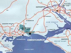
Christchurch, England Region Map
89 miles away
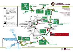
Leicester City Learning Centres Map
90 miles away

Bournemouth bus tour map
Bournemouth bus tour map - City Sightseeing
94 miles away
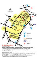
Gloucester City Park Map
95 miles away
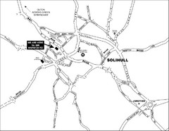
Solihull Town Map
96 miles away
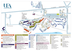
U. of East Anglia Map
97 miles away
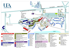
University of East Anglia Map
97 miles away
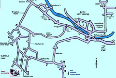
Bath City, England Map
Map from the centre of Bath, visitor information and streets.
97 miles away
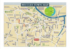
Beccles Town Map
97 miles away
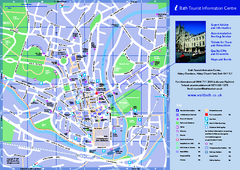
Bath City Map
98 miles away
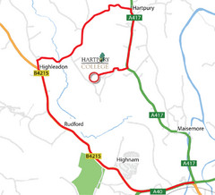
Hartpury College Directions Map
Map of location of Hartpury College campus and surrounding roads.
99 miles away
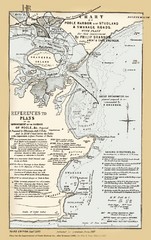
1857 Poole Harbor Map
Guide to the peninsula and improvements in the Harbor
99 miles away
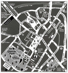
Loughborough Town Centre Map
100 miles away
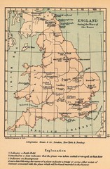
England War of the Roses Map
Guide to battle sites, encampments and treaties of the War of the Roses in England
100 miles away
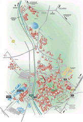
University of Birmingham Map
Guide to Birmingham University and surrounds
102 miles away
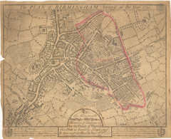
1731 Birmingham Map
Guide to historic Birmingham, UK
102 miles away

Birmingham City Map
Street map of Birmingham, England. Shows buildings, hospitals, parking, and schools.
102 miles away
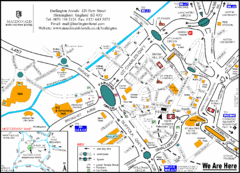
Central Birmingham Map
102 miles away

Cawston, Norfolk Guide Map
104 miles away
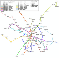
Birmingham Transit Map
Guide to bus lines in Birmingham, UK
104 miles away
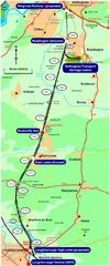
Nottingham Transport Map
A map showing train stations in Loughborough to Nottingham. Includes surrounding roads, towns...
104 miles away
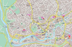
Bristol Centre Map
107 miles away
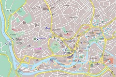
Bristol Tourist Map
Tourist map of central Bristol, England.
107 miles away
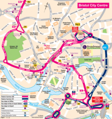
Bristol Hotel Map
107 miles away

Bristol, England Tree Map
107 miles away
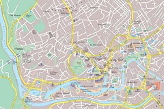
Central Bristol Tourist Map
Neighborhoods, landmarks and streets in Bristol, England
107 miles away
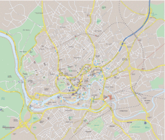
Bristol City Map
Overview map of city of Bristol. Zooms with details available on original website.
107 miles away

Great Yarmouth District England Map
Map of Great Yarmouth & the Norfolk Broads showing major roads and cities.
109 miles away
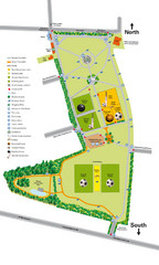
Palfrey Park Map
Detail map of Palfrey Park
109 miles away
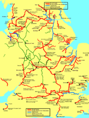
UK Broad Beam Canal Map
Guide to UK waterways that accommodate a barge
109 miles away
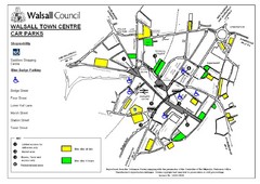
Downtown Walsall Parking Map
110 miles away
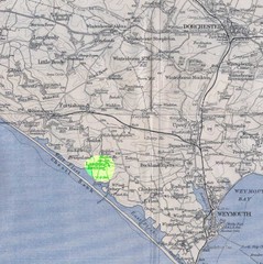
Dorchester, England Region Map
110 miles away
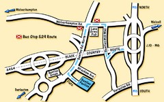
Bentley Map
Location map for Bentley. Includes roads, bus stops, and directions to Bentley Pavilion.
111 miles away
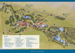
Weston Park Estate Map
113 miles away

Woodhall Spa Map
Street map of Woodhall Spa
115 miles away

