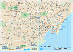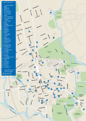
University of Oxford Campus Map
campus map
53 miles away
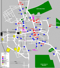
Oxford City Map
Oxford University and surrounding city
53 miles away
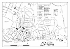
Eastbourne England Tourist Map
Central Eastbourne, England street level tourist map showing tourist sites, parks and city...
53 miles away
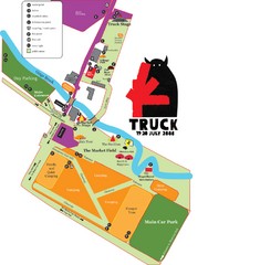
Steventon, South Oxfordshire Tourist Map
53 miles away
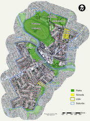
Canterbury Map
Map of parks, main streets, etc.
53 miles away
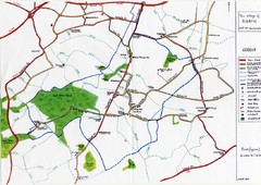
Hoath Town Map
Handwritten map of town of Hoath, England near Canterbury.
56 miles away
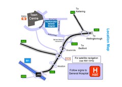
Central Northampton, England Tourist Map
Central Northampton in England
61 miles away
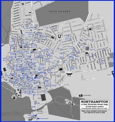
Northampton Town Map
Map of Northampton from the late Victorian period with public houses, inns, hotels, and pubs all...
62 miles away
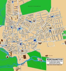
Northampton Town Map
Street map of Northampton from the late Victorian period
62 miles away
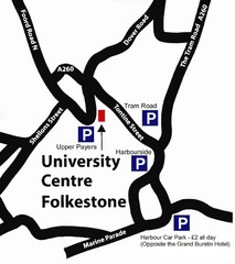
University Centre at Folkestone Map
62 miles away

Thanet Isle Map
1809 Guide to Thanet Isle in Britain
63 miles away
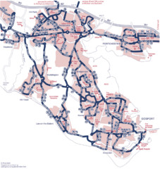
Fareham Busmap Map
Bus map of Portchester, Gosport and Fareham routes.
64 miles away
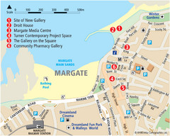
Margate Tourist Map
Tourist map of Margate, England.
64 miles away
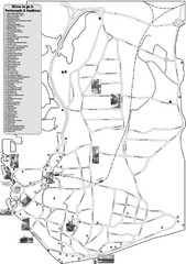
Portsmouth and Southsea Tourist Map
Tourist map of "where to go" in Portsmouth and Southsea, England. Includes photos of...
64 miles away
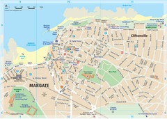
Margate TouristMap Map
65 miles away

Broadstairs Tourist Map
67 miles away
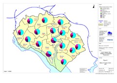
Methods of Travel in Southampton, UK Map
The methods of travel used by workers in Southampton
69 miles away
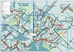
Southampton Public Transport Map
Public transport map of Southampton, England
69 miles away
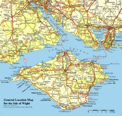
Isle of Wight Map
Based on 1950's map with no motorways
74 miles away
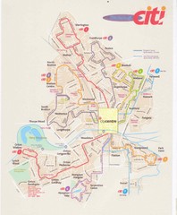
Peterborough Stage Coach Citi Bus Map
75 miles away
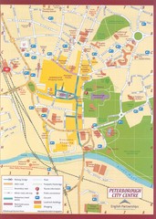
Peterborough City Center Map
City map of central Peterborough, England
75 miles away
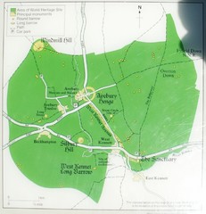
Avebury World Heritage Site Map
Map of Avebury, England showing World Heritage Site and surroundings. From photo.
75 miles away
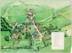
Avebury Tourist Map
Tourist map of Avebury, England. Shows Avebury Henge. From photo.
76 miles away
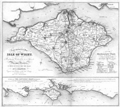
Isle of Wight Map
76 miles away
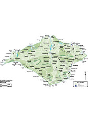
Isle of Wight Map
76 miles away
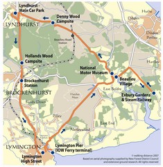
New Forest Bus Tour Map
77 miles away
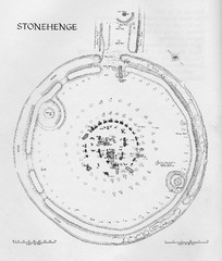
Stonehenge Map
Hand drawn map of Stonehenge showing stone circle and surrounding area
77 miles away
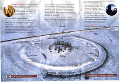
Stonehenge Brochure Map
Scan of official brochure of Stonehenge.
77 miles away
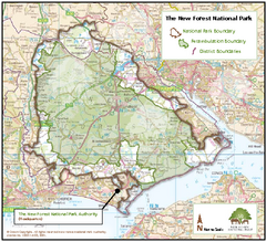
The New Forest National Park Map
Nice map with clear park boundaries.
79 miles away
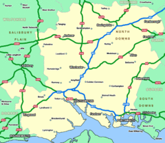
Southhampton Area Hotel Map
79 miles away
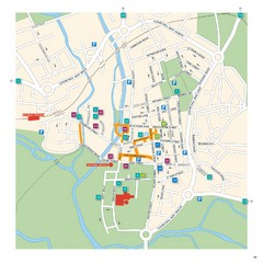
Salisbury Tourist Map
Tourist map of central Salisbury, UK. Shows parking and key for points of interest.
79 miles away
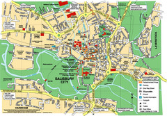
Salisbury City Map
Map of Salisbury City
79 miles away
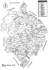
Warwichshire, England Region Map
79 miles away
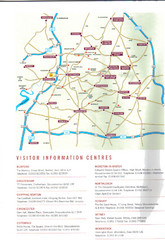
Cotswold England Tourist Map
The Cotswolds are situated in the Heart of England less than 2 Hours Drive from London. Map shows...
81 miles away
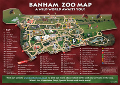
Banham Zoo Map
82 miles away
Delaine Bus Route Map
Map of bus routes throughout from Borne to Peterborough
82 miles away
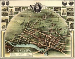
1902 Stratford-upon-Avon Map
Map of William Shakespeare's birthplace
83 miles away
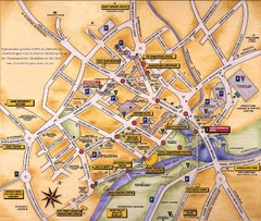
Stratford-upon-Avon Tourist Map
Tourist map of Stratford-upon-Avon, UK. Shows points of interest.
84 miles away
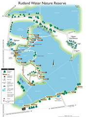
Map of Rudlin Nature Reserve
Full-color map of Rudlin Water Nature Reserve that includes the locations off all Footpaths...
84 miles away

