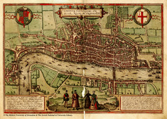
1560 London Map
Historic map of London showing city walls and farms
1 mile away
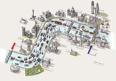
River Thames Jubilee Pageant Map
River Thames Jubilee Pageant 2012
1 mile away
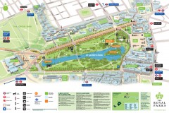
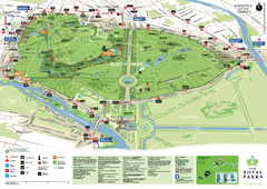
St. James Park Map
Official birds-eye view map of St. James Park, London.
1 mile away
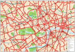
Central London Bus Map
1999 map from The London Tube Map Archive
1 mile away
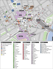
Trafalgar Square Map
1 mile away
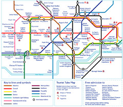
London Tourist Tube Map
London Tube Map with lots of station names replaced with tourist attractions. Key: Union Jack...
1 mile away
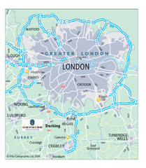
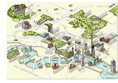
London Map
Map of London highways, roads and surrounding towns.
1 mile away
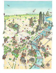
Aerial map of London
Map of London by Katherine Baxter
2 miles away
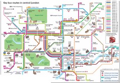
London Central Bus Routes Map
Guide to bus routes in London
2 miles away
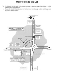
London School of Economics Bus Stop Map
How to get to the London School of Economics.
2 miles away
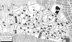
London Church Map
Map of the City of London showing 47 churches and 9 Towers
2 miles away
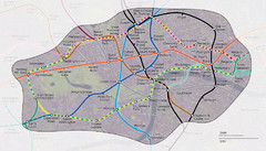
London Underground Zone 1 with Street Map
The London Underground Zone 1 geographically overlaid on city streets.
2 miles away
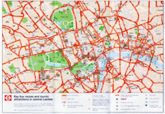
London Bus and Tourist Map
Key bus routes and tourist attractions in central London. Scanned.
2 miles away
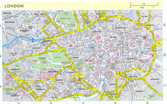
London City Map
City map of London with information and parking locations
2 miles away
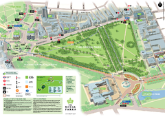
Green Park Map
2 miles away
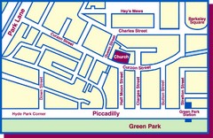
Third Church of Christ, Scientist, Location Map
2 miles away
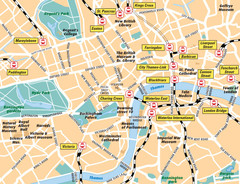
London Bahnhöfe Map
2 miles away
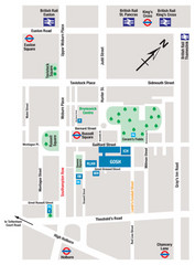
Great Ormond Street Hospital for Children Map
Great Ormond Street Hospital for Children NHS Trust (GOSH)
2 miles away
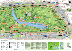
Hyde Park Map
3 miles away
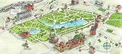
London Hyde Park map
Map of London, showing Hyde park.
3 miles away
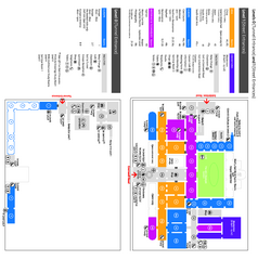
The Victoria & Albert Museum Floor plan Map
Map of The Victoria & Albert Museum in London. Shows entrances and exhibits.
3 miles away
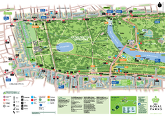
Kensington Gardens Map
3 miles away
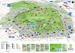
Regent's Park Map
Birds-eye view of the Regent's Park in London
3 miles away
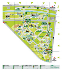
London Zoo Map
4 miles away
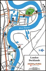
London Docklands Tourist Map
4 miles away
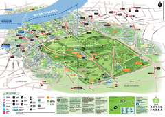
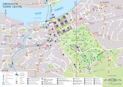
Greenwich Park Map
5 miles away
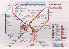
St. Georges Hospital Bus Services Map
5 miles away
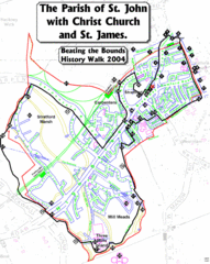
The Parish of St. John's with Christ Church...
A rough history of the Stratford, England and a continuation of the age old tradition of "...
6 miles away

River Thames Map
River Thames Map, illustrated by Katherine Baxter for the Runnymede-on-Thames Hotel as a 8 metre...
6 miles away
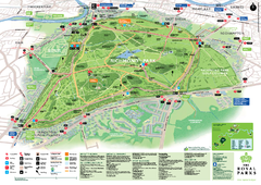
Richmond Park Map
8 miles away
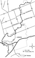
Thames Valley Trail Map
9 miles away
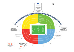
UK Wembley Stadium Map
9 miles away
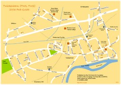
Twickenham Pub Guide Map
Map of TW1 & TW2 area
10 miles away
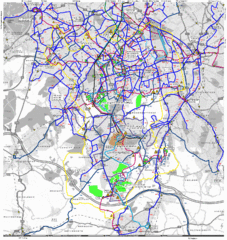
Cheam Bus Route Map
Olympic Bid 2016 - Bus Route Map
11 miles away
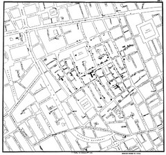
Cholera Outbreak of London Map
Map used to analyze the cholera outbreak in London, specifically South Hampton in 1853
12 miles away
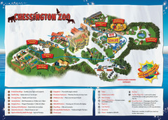
Chessington Zoo Map
13 miles away

