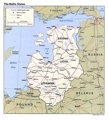
Baltic States Map
Guide to the Baltic states of Lithuania, Latvia and Estonia
1585 miles away
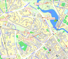
Tsentralny District, Minsk Tourist Map
Tourist map for Tsentralny district of Minsk.
1585 miles away
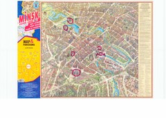
Minsk Central Map
Panoramic map of central Minsk, Belarus. Some spots are highlighted. Scanned.
1585 miles away
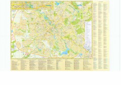
Minsk City Map
City map of Minsk, Belarus. Has street index and shows museums, galleries, theaters, hotels...
1585 miles away
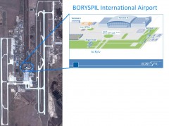
Boryspil International Airport Map
Terminal and Road map of Boryspil International Airport. Near Kyiv, Ukraine.
1588 miles away
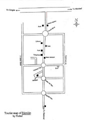
Ramian Tourist Map
Hand drawn map of Ramian, Iran showing buildings, roads and the mosque.
1589 miles away
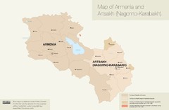
Map of Armenia and Nagorny Karabakh
1589 miles away
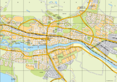
Skellefteå City Map
City map of central Skellefteå, Sweden
1591 miles away
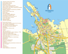
Haapsalu Tourist Map
Tourist street map of Haapsalu
1592 miles away

Stepanavan Armenia Tourist Map
Tourist map for Stepanavan, Armenia showing streets and tourist attractions.
1593 miles away
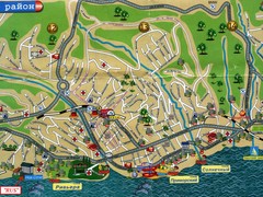
Sochi Tourist Map
Tourist map of Sochi, Russia. Host city of the 2014 Olympic Winter Games
1593 miles away
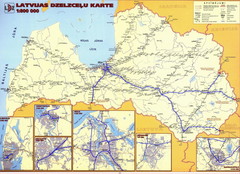
Latvia railroads Map
1594 miles away
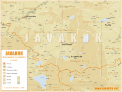
Samtskhe-Javakheti Province Map
Southeast Georgia
1594 miles away
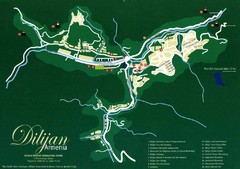
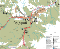
Dilijan Tourist Map
Tourist Map of Dilijan Town in Armenia
1596 miles away
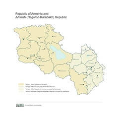
Map of Armenian states - the Republic of Armenia...
Map of Armenian states - the Republic of Armenia and the Nagorno-Karabakh Republic
1596 miles away
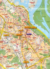
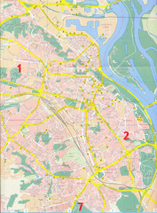
Kyiv Map
1596 miles away
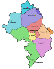
Administrative Map of Nagorny Karabakh (Artsakh)
Administrative Division of the Nagorno-Karabakh Republic (Artsakh)
1596 miles away
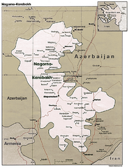
Nagorno-Karabakh Map
Major towns and borders are clearly marked on this map.
1597 miles away
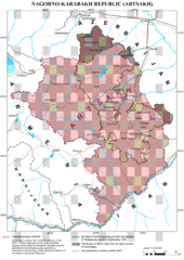
Karabakh Map
Up-to-date Map of the Nagorno-Karabakh Republic (Republic of Arstakh)
1598 miles away
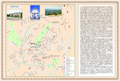
Stepanakert City Map
Map of Stepanakert, Nagorno-Karabakh Republic (Artsakh)
1598 miles away
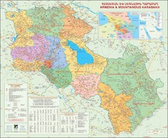
Karabakh & Armenia Map
Map of Armenian states - the Republic of Armenia and the Nagorno-Karabakh Republic
1599 miles away
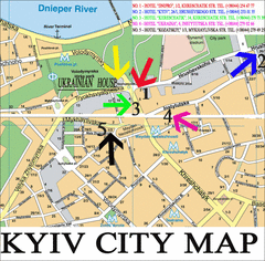
Kyiv City Map
City map of Kyiv with hotels
1600 miles away
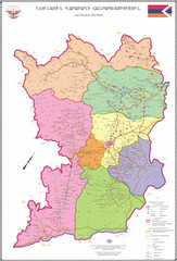
Map of the Nagorno-Karabakh Republic (Artsakh)
Administrative Map of the Nagorno-Karabakh Republic (Republic of Artsakh)
1600 miles away
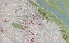
Kyiv City Map
City map of central Kyiv, Ukraine. Shows major streets and buildings.
1600 miles away
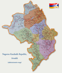
Map of the Nagorno-Karabakh Republic (Artsakh)
Administrative Map of the Nagorno-Karabakh Republic (Republic of Artsakh)
1600 miles away
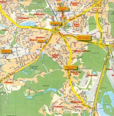
Kyiv City Map
1601 miles away
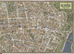
Kyiv city centre map (3D)
Street map of central Kyiv, Ukraine with all major building drawings. In English and Ukrainian. 3d...
1601 miles away
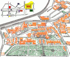
NTUU 'KPI' - University Park Campus Map
Official campus map of the National Technical University of Ukraine 'Kyiv Polytechnic...
1601 miles away
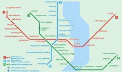
Official Kyiv Metro Map (Ukrainian)
Official metro map of Kyiv. Schematic, not tied to geography. In Ukrainian.
1601 miles away
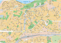
Kiev Street Map
Street map of Kiev, Ukraine.
1601 miles away
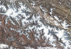
Karakoram Range Map
Shows major peaks and glaciers in the Karakoram mountain range in Pakistan and China. 2nd highest...
1601 miles away
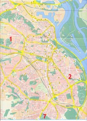
Kiev Tourist Map
Tourist map of Kiev, Ukraine. Symbols show points of interest and services.
1601 miles away
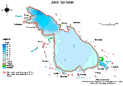
Lake Sevan water levels Map
1601 miles away
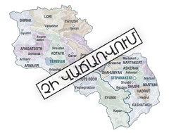
Armenian Lands Are Not For Sale Map
Holy lands of the Armenian states - the Republic of Armenia (Ararat Republic) and the Nagorno...
1601 miles away
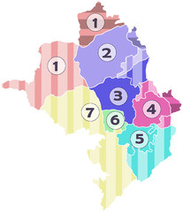
Administrative Units of the Nagorno-Karabakh...
Administrative Units of the Nagorno-Karabakh Republic (Artsakh)
1601 miles away
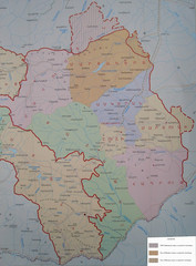
Map of the Nagorno-Karabakh Republic (Artsakh)
Administrative Map of the Nagorno-Karabakh Republic (Republic of Artsakh)
1601 miles away
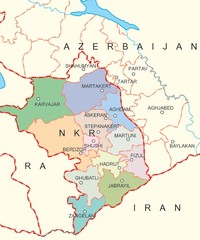
Map of Nagorno-Karabakh (Artsakh)
Map of the Nagorno-Karabakh Republic (Republic of Artsakh)
1601 miles away

