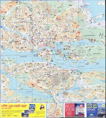
Stockholm overall Map
1767 miles away
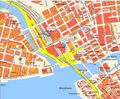
Stokholm Tourist Map
1767 miles away
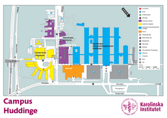
Karolinska Institute Karta Huddinge Campus Map
Easy to read and follow map of this Karolinska Institute campus.
1769 miles away
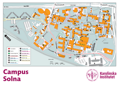
Karolinska Institute Solna Campus Map
Easy to read map of this small campus.
1769 miles away
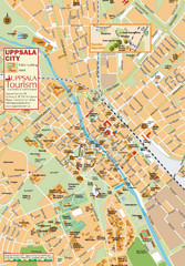
Uppsala Tourist Map
Tourist map of central Uppsala, Sweden. Shows public buildings, hotels, and other points of...
1769 miles away
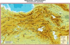
Armenian Highland Map
Map of the Armenian Haghland
1769 miles away
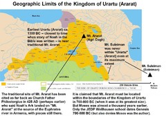
Urartu And Mount Ararat Map
Urartu Map showing Mt. Suleiman is not near Urartu.
1770 miles away
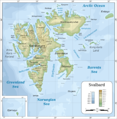
Svalbard islands topo Map
1773 miles away
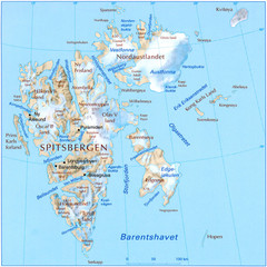
Svalbard Physical Map
Physical map of Svalbard, Norway. The northernmost part of the kingdom of Norway. Shows ice...
1773 miles away
![AFG Afghanistan_pop72[1] Map AFG Afghanistan_pop72[1] Map](/maps/AFG-Afghanistanpop721-Map.thumb.jpg)
AFG Afghanistan_pop72[1] Map
1774 miles away
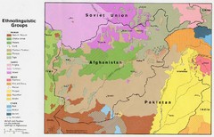
AFG afghanistan & environs ethnolinguistic...
1780 miles away
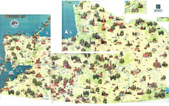
Kalinigrad region tourist map
1781 miles away

Afg Topographic Map
1784 miles away
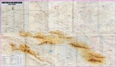
Gobi Gurvan Sayhan National Park Tourist Map
Tourist map of the Gobi Gurvan Sayhan National Park (also called Govi Gurvan Sayhan). Shows points...
1785 miles away
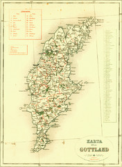
Gotland Island Map
Largest island in Sweden
1788 miles away
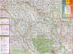
Moldova Topographical Map - North
Detailed topo map of northern Republic of Moldova. In Ukrainian.
1791 miles away
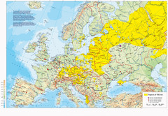
Incidents of Tick Borne Encephalitis in Europe...
Map of Tick Borne Encephalitis Endemic Areas
1795 miles away
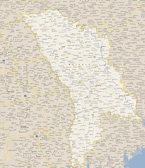
Moldova - Cities Map
1805 miles away
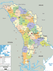
Moldova - Political Map
1805 miles away
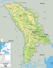
Moldova - Physical Map
1805 miles away
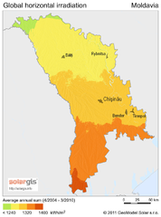
Solar Radiation Map of Moldova
Solar Radiation Map Based on high resolution Solar Radiation Database: SolarGIS. On the Solar Map...
1805 miles away
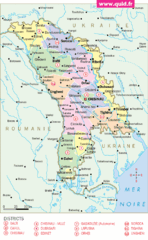
Moldavie Map
1805 miles away
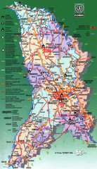
Moldova Tourist Map
Tourist map of Moldova. Shows major roads, rivers, monuments, fortresses, churches, and monastaries.
1805 miles away
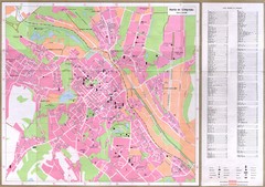
Chisinau City Map
Tourist map of capital city
1805 miles away
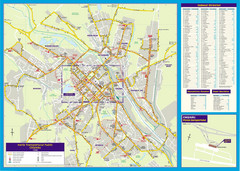
Chisinau Public Transportation Map
Public Transportation map of Chisinau, Moldova with street index. Shows bus routes. Inset of...
1805 miles away
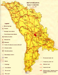
Moldova roads Map
1805 miles away
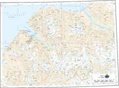
Longyearbyen Area Topo Map
Topo map of area around Longyearbyen, Svalbard Islands
1807 miles away
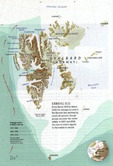
Svalbard's Ebbing Ice Map
1807 miles away
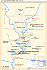
19th Century Bitlis Map
Historical map of Bitlis at the conclusion of the 19th century
1811 miles away
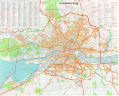
Kaliningrad 1:27000 Map
1811 miles away

Drohiczyn Podlaskie Kayak Map
Kayak trips on the bug river highlighted on the map of Drohiczyn, Podlaskie, Poland.
1813 miles away
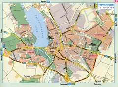
Ternopil Ukraine Map
1815 miles away
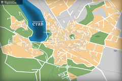
Ternopil_ukr Map
1815 miles away
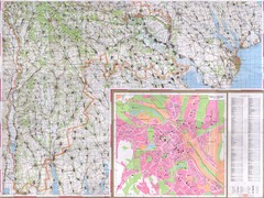
Moldova Topographical Map - South
Detailed topo map of southern Republic of Moldova. In Ukrainian. Inset shows detailed view of...
1817 miles away
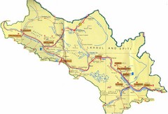
Lahaul Valley and Spiti Valley India Tourist Map
Tourist map for Lahaul Valley and Spiti Valley, India showing tourist sites and roads in the area.
1821 miles away
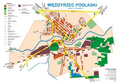
Miedzyrzec Podlaski Location Map (polish)
1823 miles away
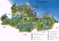
Samsun Tourist Map
Tourist map of Samsun, Turkey area on the Black Sea. Shows points of interest.
1826 miles away
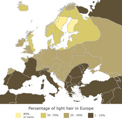
Europe Blond Hair Map
Shows percentage of light hair in Europe.
1832 miles away
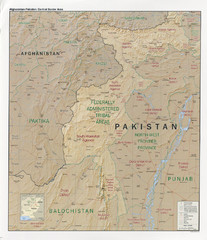
Afghanistan-Pakistan Central Border Area Map
Shows border regions of Pakistan-Afghanistan.
1836 miles away

