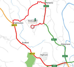
Hartpury College Directions Map
Map of location of Hartpury College campus and surrounding roads.
151 miles away
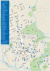
University of Oxford Campus Map
campus map
151 miles away
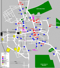
Oxford City Map
Oxford University and surrounding city
152 miles away
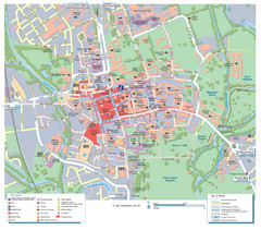
Oxford City Map
Tourist street map of Oxford
152 miles away
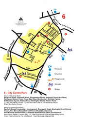
Gloucester City Park Map
152 miles away
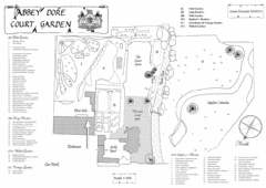
Abbey Dore Court Garden Map
157 miles away

Cotswold England Tourist Map
The Cotswolds are situated in the Heart of England less than 2 Hours Drive from London. Map shows...
159 miles away
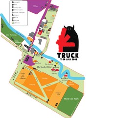
Steventon, South Oxfordshire Tourist Map
161 miles away
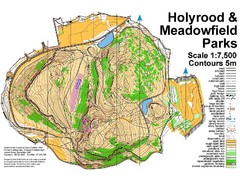
Holyrood Park Map
162 miles away
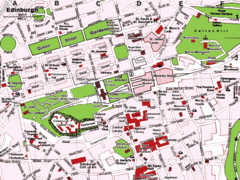
Edinburgh, Scotland Tourist Map
162 miles away
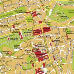
Edinburgh, Scotland Tourist Map
162 miles away
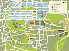
Edinburgh Tour Bus Map
162 miles away
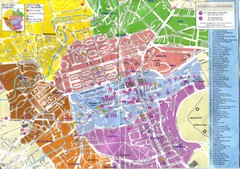
Edinburgh Walking Tourist Map
162 miles away
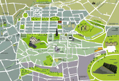
Edinburgh Tourist Map
Tourist map of Edinburgh, Scotland. Shows parks and major landmarks.
162 miles away

Edinburgh Mobimap Map
162 miles away
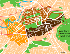
Map of Edinburgh
Shows the new town and old town of Edinburgh.
163 miles away
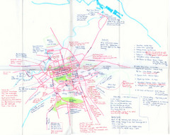
Hand Drawn Edinburgh Map
Map of architecture and points of interest in Edinburgh
163 miles away

Heriot Watt University Map
Edinburgh campus map
163 miles away
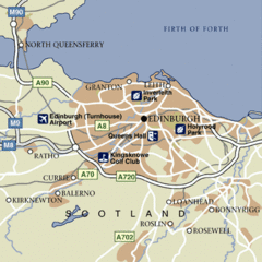
Edinburgh City Map
Simple city map marking parks, airports, streets and more.
164 miles away
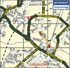
Chelmsford Map
166 miles away
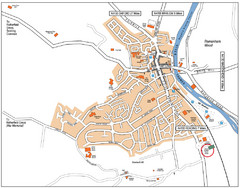
Henley-on-Thames Map
167 miles away
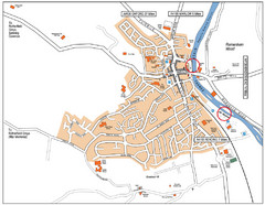
Henley-on-thames Map
Visitor Map of Henley-on-thames. Map shows location of most main roads, buildings, and parking.
167 miles away
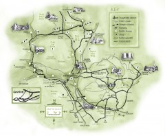
Abergavenny Cycle Map
Shows suggested easy cycling routes, other roads, steeper climbs, parking, public houses, shops...
168 miles away
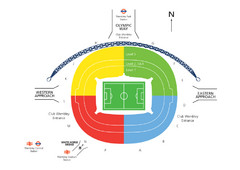
UK Wembley Stadium Map
169 miles away
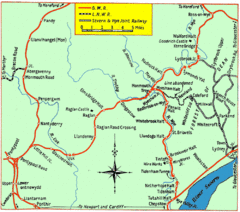
Monmouth and Wye Valley Railways Map
Map showing the 3 major railway lines and the cities with stops of Monmouth, UK.
169 miles away
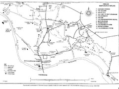
Whitchurch on Thames Walking Map
Guide to 12 walks around Whitchurch on Thames, UK
170 miles away
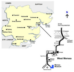
West Mersea Island Museum Map
171 miles away
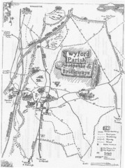
Twyford Parish Map
Footpaths and bridleways map of Twyford Parish
171 miles away
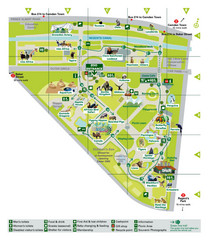
London Zoo Map
171 miles away
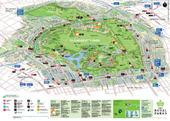
Regent's Park Map
Birds-eye view of the Regent's Park in London
171 miles away
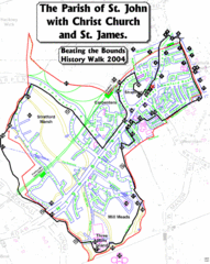
The Parish of St. John's with Christ Church...
A rough history of the Stratford, England and a continuation of the age old tradition of "...
172 miles away
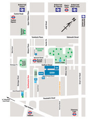
Great Ormond Street Hospital for Children Map
Great Ormond Street Hospital for Children NHS Trust (GOSH)
172 miles away
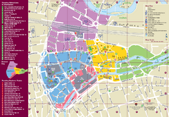
Reading Tourist Map
Tourist map of city center of Reading, England. Shows attractions and other tourist points of...
172 miles away
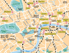
London Bahnhöfe Map
172 miles away
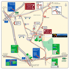
Brentwood, Essex Map
173 miles away
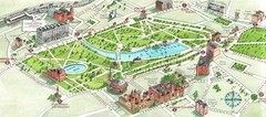
London Hyde Park map
Map of London, showing Hyde park.
173 miles away
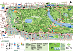
Kensington Gardens Map
173 miles away
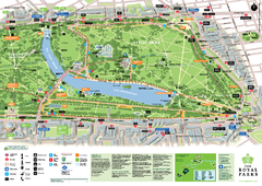
Hyde Park Map
173 miles away
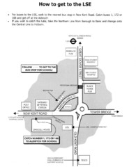
London School of Economics Bus Stop Map
How to get to the London School of Economics.
173 miles away
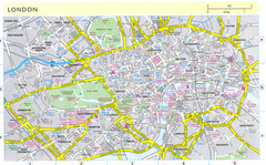
London City Map
City map of London with information and parking locations
173 miles away

