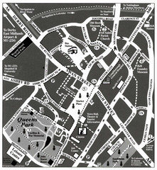
Loughborough Town Centre Map
81 miles away
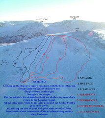
Raise Ski Trail Map
Trail map from Raise.
82 miles away
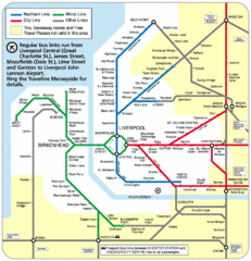
Merseyside Tube Map
83 miles away
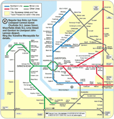
Liverpool Subway Map
Guide to Liverpool Merseyrail lines and stations
84 miles away
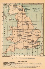
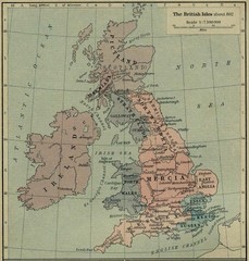
England War of the Roses Map
Guide to battle sites, encampments and treaties of the War of the Roses in England
84 miles away
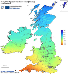
United Kingdom Solar Radiation Map
Guide to yearly total of global horizontal solar irradiation
86 miles away
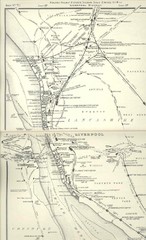
Liverpool Railway Map
Guide to historic rail lines around Liverpool
86 miles away
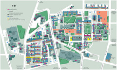
University of Liverpool Map
Campus Map
87 miles away
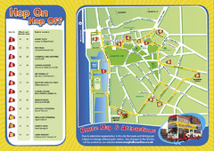
Liverpool Bus Tour Map
87 miles away
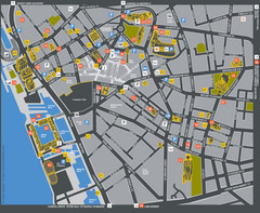
Liverpool Tourist Map
Tourist map of central Liverpool, England, UK. Shows points of interest.
87 miles away
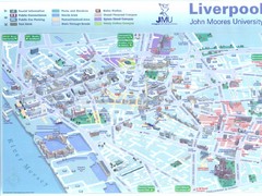
John Moores University Map
Campus map of John Moores University, Liverpool, UK
87 miles away
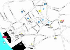
Merseytravel Headquarters Location Map
87 miles away
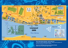
The Tall Ships Race in Liverpool Map
88 miles away
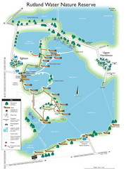
Map of Rudlin Nature Reserve
Full-color map of Rudlin Water Nature Reserve that includes the locations off all Footpaths...
90 miles away
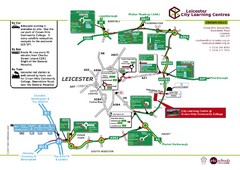
Leicester City Learning Centres Map
91 miles away
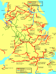
UK Broad Beam Canal Map
Guide to UK waterways that accommodate a barge
91 miles away
Delaine Bus Route Map
Map of bus routes throughout from Borne to Peterborough
93 miles away
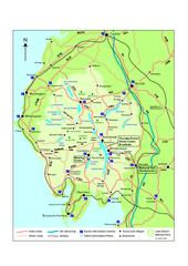
Lake District National Park Map
Detailed map marking the roads and boundaries of on of Britain's National Parks.
93 miles away
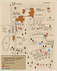
Castle Rigg Park Map
94 miles away
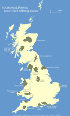
UK National Park Map
Shows locations of all national parks in the United Kingdom.
95 miles away
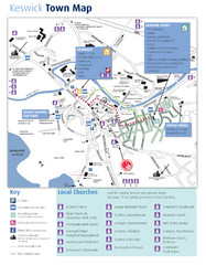
Keswick Town Map
Map of Keswick with Christian locations identified
95 miles away
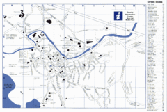
Keswick Tourist Map
Tourist map of Keswick, England. Shows all points of interest and has a street index.
95 miles away
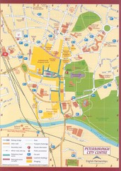
Peterborough City Center Map
City map of central Peterborough, England
101 miles away
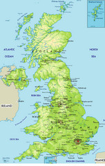
United Kingdom Physical Map
Guide to topography and physical features of Great Britain
101 miles away
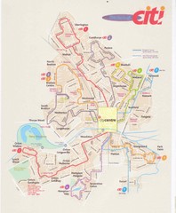
Peterborough Stage Coach Citi Bus Map
101 miles away
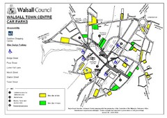
Downtown Walsall Parking Map
101 miles away
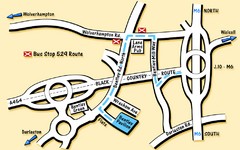
Bentley Map
Location map for Bentley. Includes roads, bus stops, and directions to Bentley Pavilion.
102 miles away
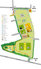
Palfrey Park Map
Detail map of Palfrey Park
103 miles away
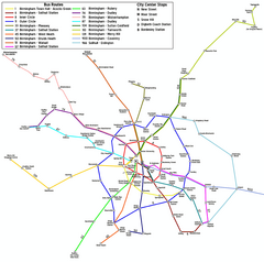
Birmingham Transit Map
Guide to bus lines in Birmingham, UK
105 miles away
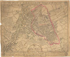
1731 Birmingham Map
Guide to historic Birmingham, UK
107 miles away

Birmingham City Map
Street map of Birmingham, England. Shows buildings, hospitals, parking, and schools.
107 miles away
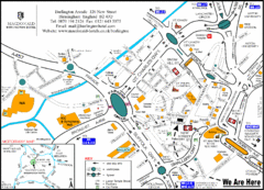
Central Birmingham Map
107 miles away
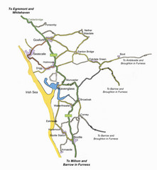
Whitehaven Wanderer Bus Route Map
108 miles away
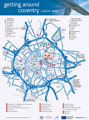
Coventry Tourist Map
Tourist map of central Coventry, England. Shows points of interest.
108 miles away
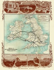
Historic United Kingdom Railroad Map
Guide to the connections of the Great Southern and Western Railways in the British Isles
109 miles away
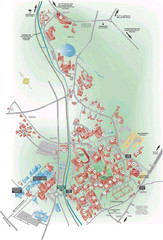
University of Birmingham Map
Guide to Birmingham University and surrounds
109 miles away
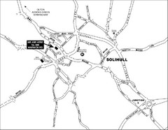
Solihull Town Map
110 miles away
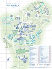
University of Warwick Campus Map
Near Coventry, West Midlands
110 miles away


