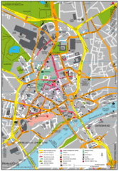
Rossendale Hospital Map
Campus map of hospital
53 miles away
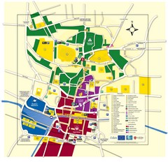
Lincoln Tourist Map
Tourist map of Lincoln, England. Shows points of interest.
54 miles away

Areas Surrounding Bakewell, UK Map
Cities and areas around Bakewell, United Kingdom
54 miles away
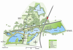
Whisby Nature Park Map
Shows park as of January 2009.
55 miles away
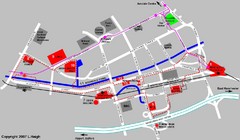
Manchester Map
58 miles away
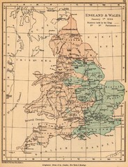
1644 England and Wales Political Map
Map showing districts held by teh King versus the Parliament during the Puritan Revolution
58 miles away
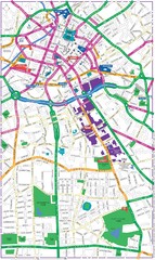
Manchester Map
58 miles away
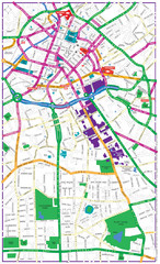
Manchester Tourist Map
Tourist map of Manchester, UK. Shows points of interest.
58 miles away
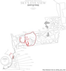
Jodrell Bank Observatory Map
Map of the Jodrell Bank Observatory. Shows location of parking lot, layout of the observatory...
58 miles away
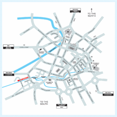
Manchester Overview Map
58 miles away
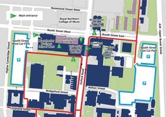
Manchester Business School Map
Map of Machester Business School at University of Manchester
58 miles away
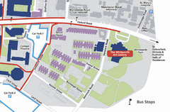
University of Manchester Map
Map of the University of Manchester with the Whitworth Art Gallery highlighted.
58 miles away
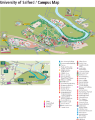
University of Salford Map
59 miles away

DTb Master Diagram (early draft) Map
DUKERIES THINKBELT: MASTER DIAGRAM All elements and key
59 miles away
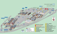
Royal Blackburn Hospital Map
Maps of Royal Blackburn
59 miles away
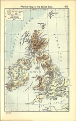
1911 British Isles Physical Map
Guide to physical features of the United Kingdom, then known as the British Isles
61 miles away
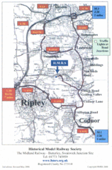
Central England Tourist Map
The area around Nottingham
61 miles away
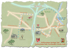
Wythenshawe Heritage Trail map
Northenden Circular Walk trail at Wythenshawe Park.
62 miles away

Woodhall Spa Map
Street map of Woodhall Spa
65 miles away
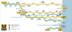
Tyne and Wear Metro Route Map
Map of metro transit routes throughout Tyne and Wear
65 miles away
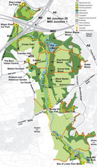
Cuerden Valley Park Map
67 miles away
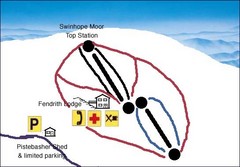
Swinhope Moor Sketch Ski Trail Map
Trail map from Swinhope Moor.
69 miles away
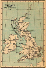
878 England Map
Guide to England after the Peace of Wedmore
70 miles away
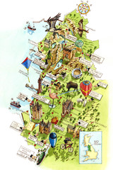
North West England Map
North West England map by Katherine Baxter
70 miles away
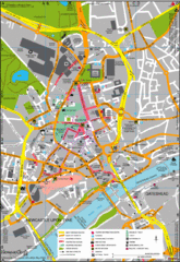
Newcastle Upon Tyne City Map
City map of Newcastle Upon Tyne with tourist information and some of Gateshead
74 miles away
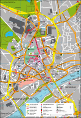
Newcastle City Map
City center map of Newcastle Upon Tyne, UK
74 miles away
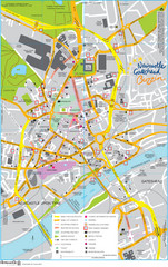
Newcastle Tourist Map
Tourist map of central Newcastle Upon Tyne, UK. Shows points of interest.
74 miles away
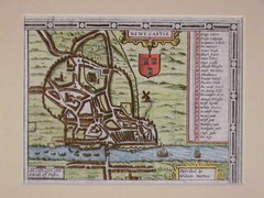
1611 Newcastle-Upon-Tyne Historic Map
Guide to historic Newcastle upon Tyne
74 miles away
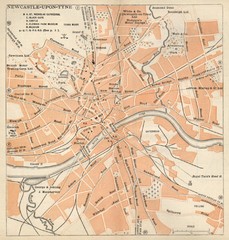
Newcastle upon Tyne Map
1920 Michelin Map to Newcastle upon Tyne, UK
75 miles away
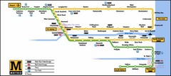
Newcastle Metro System Map
75 miles away
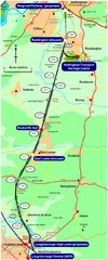
Nottingham Transport Map
A map showing train stations in Loughborough to Nottingham. Includes surrounding roads, towns...
75 miles away
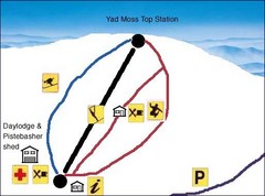
Yad Moss Sketch Ski Trail Map
Trail map from Yad Moss.
75 miles away
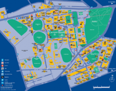
Camperdown Tourist Map
Guide map for Camperdown and Darlington, United Kingdom
77 miles away
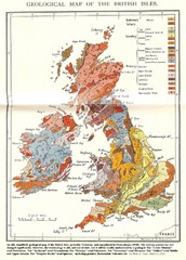
British Isles Geological Map
Old British Isles geological map
78 miles away
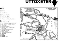
Uttoxeter Town Centre Map
80 miles away
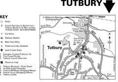
Tutbury Town Centre Map
80 miles away
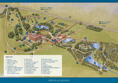
Weston Park Estate Map
81 miles away

Blackpool Street Map
Street map of city of Blackpool, UK.
81 miles away
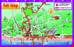
Blackpool Bus Tour Map
Blackpool Bus Tour Map - City Sightseeing
81 miles away

