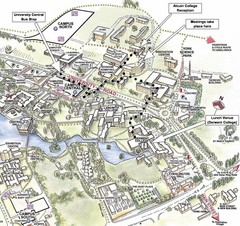
University of York Campus Map
Relevant landmarks and main roads and buildings
0 miles away
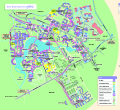
University of York Map - Heslington Campus
Campus map of the University of York Heslington Campus near York, England.
less than 1 mile away
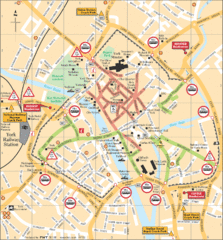
York Tourist Map
1 mile away
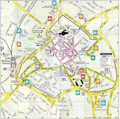
York England Tourist Map
Tourist map of York England showing roads, tourist sites ad railways.
1 mile away
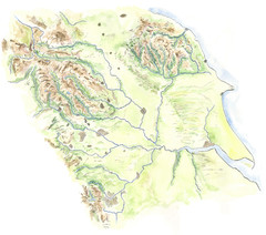
Yorkshire topography Map
12 miles away
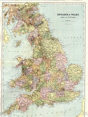
England and Wales Map
Guide to England, Wales and part of Scotland, showing counties
15 miles away
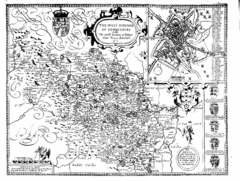
1610 Yorkshire County Historical Map
A 1610 map of Yorkshire Country in the United Kingdom
16 miles away
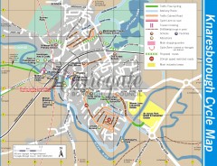
Knaresborough Cycling Map
Shows traffic free cycling routes, advisory routes, traffic calmed roads, cycle lanes, bike shops...
17 miles away
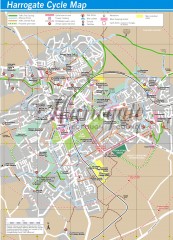
Harrogate Cycling Map
Shows traffic free cycling routes, advisory routes, traffic calmed roads, cycle lanes, bike shops...
20 miles away
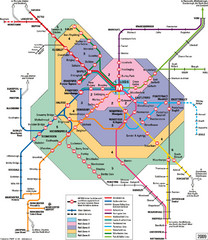
Leeds Metro Train Diagram Map
Metro system map for Leeds, England and surrounding cities.
22 miles away
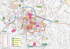
Leeds Tourist Map
Tourist map of city center of Leeds, UK
22 miles away
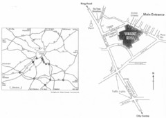
University of Leeds Campus Map
Various buildings on the University of Leeds campus
23 miles away
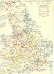
1887 - Prinicipal Railways in England and Wales...
Railways in England and Wales in 1887
23 miles away
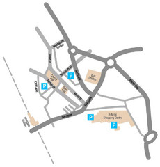
Wakefield Center Street Map
Crude street map of center of Wakefield, UK.
26 miles away
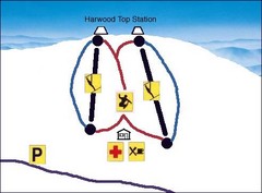
Harwood Sketch Ski Trail Map
Trail map from Harwood.
29 miles away
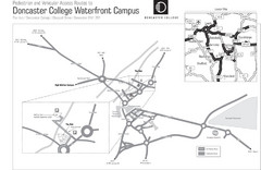
Doncaster College Waterfront Campus Map
B&W Printable version of the Doncaster College Waterfront Campus showing parking and vehicular...
29 miles away
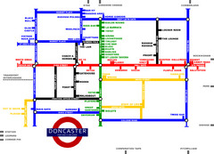
Doncaster Pup Guide Map
29 miles away
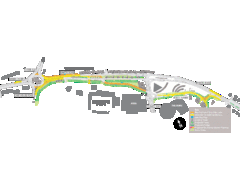
Bawtry Road Bus Lane Map
29 miles away
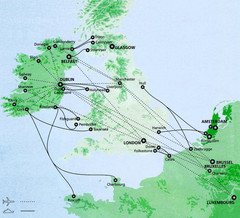
Ireland to Luxembourg Travel Map
Major routes from Ireland to Luxembourg. Shows major cities in Ireland, England, Germany and the...
31 miles away
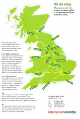
United Kingdom Map
33 miles away
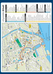
Hull City Centre Map
Tourist map of city of Hull. Shows points of interest including shopping, attractions, places...
33 miles away
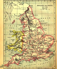
1660-1892 England and Wales Map
Guide to England and Wales from 1660-1892, showing topographic information
34 miles away
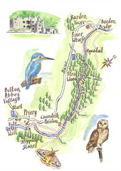
A walk around Bolton Abbey Yorkshire Map
A walk around Bolton Abbey in Yorkshire, Uk. Produced for Dales Life Magazine.
34 miles away
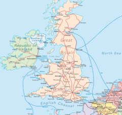
United Kingdom Transit Map
Guide to rail and ferries in the United Kingdom and surrounds
35 miles away
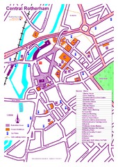
Central Rotherham Map
38 miles away
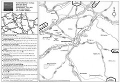
Huddersfield New College Location Map
38 miles away
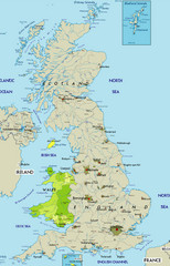
Wales Map
Guide to Wales and major cities in the United Kingdom
40 miles away
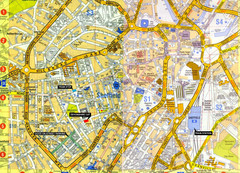
Sheffield City Center Map
42 miles away
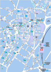
Sheffield City Map
City centre map of Sheffield, England. Shows parking, ATMs, and other points of interest.
42 miles away
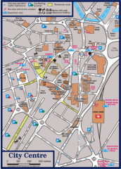
Sheffield Tourist Map
Tourist map of the city center of Sheffield, England.
43 miles away
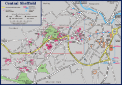
Central Sheffield Map
Map shows central Sheffield, England area. Bus stops and University of Sheffield parking areas...
43 miles away
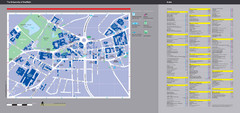
University of Sheffield Map
Campus map
43 miles away
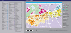
The University of Sheffield Reference Map
The University of Sheffield, United Kingdom
43 miles away
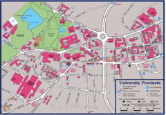
University of Sheffield Map
Campus map of the University of Sheffield in Sheffield, England. Shows parking, bus stops, and...
43 miles away
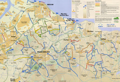
Redcar & Cleveland Horse Riding Routes Map
Horseriding route map of Redcar & Cleveland area, England shows public bridleways, public...
43 miles away
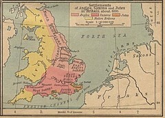
600 British Settlement Map
Map of settlements of Angels, Saxons, Jutes and Native Britons in 600
44 miles away

Schematic UK Postcode Map
Shows all postcode areas in the United Kingdom in shape of UK with London extracted.
44 miles away
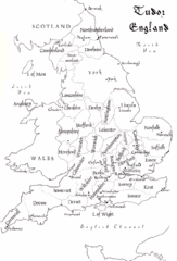
Tudor England Counties Map
Guide to the counties of England under Tudor reign
45 miles away
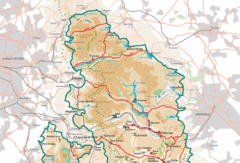
Peak District National Park Map
National Park map.
52 miles away
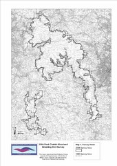
Bird Survey Map
Map of survey areas in the Peak District Moorland. Shows survey areas of 1990 and 2004.
52 miles away

