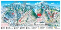
Sugarbush Resort ski trail map 2006-07
Official ski trail map of Sugarbush ski area from the 2006-2007 season.
78 miles away
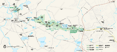
Minute Man National Historical Park Official Map
Official NPS map of Minute Man National Historical Park in Massachusetts. Map shows all areas. The...
78 miles away
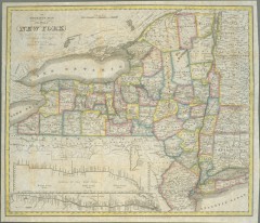
1831 Antique New York State map
The tourist's map of the state of New York : compiled from the latest authorities in the...
78 miles away
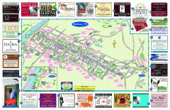
Hudson Tourist Map
Tourist map of Hudson, New York showing all tourist points of interest. Ads around border.
78 miles away
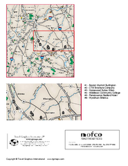
Greater Merrimack Valley, Massachusetts Map
Tourist map of greater Merrimack Valley, Massachusetts. Lodging, forests, and other points of...
79 miles away
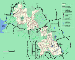
Callahan State Park trail map
Trail map of Callahan State Park in Massachusetts
79 miles away
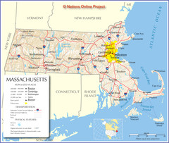
Massachusetts Road Map
79 miles away
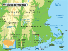
Massachusetts Rivers, Lakes, Mountains and...
79 miles away
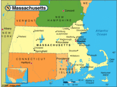
Massachusetts Cities Map
79 miles away
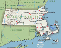
Massachusetts Cities and Mountains Map
79 miles away
Maryland Relief Map
79 miles away
Massachusetts Elevations Map
79 miles away
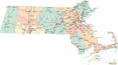
Massachusetts Road Map
79 miles away
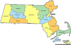
Massachusetts Counties Map
79 miles away
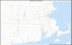
Massachusetts Zip Code Map
Check out this Zip code map and every other state and county zip code map zipcodeguy.com.
79 miles away
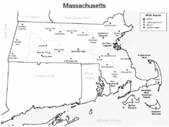
Massachusetts Airports Map
79 miles away
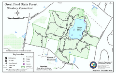
Great Pond State Park trail map
Trail map of Great Pond State Forest in Connecticut.
79 miles away
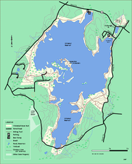
Whitehall State Park trail map
Trail map of Whitehall State Park in Massachusetts.
80 miles away
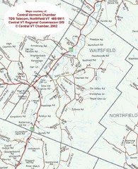
Waitsfield, Vermont City Map
80 miles away
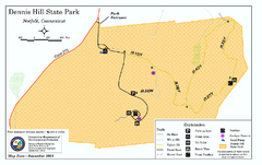
Dennis Hill State Park map
Trail map of Dennis Hill State Park in Connecticut.
80 miles away
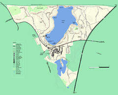
Walden Pond State Reservation trail map
Trail map of Walden Pond State Reservation
80 miles away
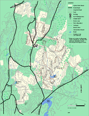
Upton State Forest trail map
Trail map for Upton State Forest in Massachusetts.
80 miles away

Mine Brook Wildlife Management Area Map
80 miles away
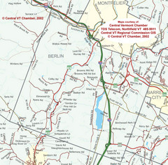
Berlin, Vermont Guide Map
80 miles away
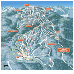
Gore Mountain Ski Trail Map
Trail map from Gore Mountain.
81 miles away
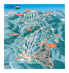
Gore Mountain Ski Trail Map
Trail map from Gore Mountain.
81 miles away
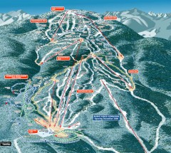
Gore Mountain Ski Trail Map
Official ski trail map of Gore Mountain ski area from the 2007-2008 season.
81 miles away
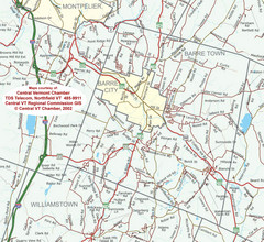
Barre, Vermont Guide Map
81 miles away
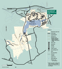
Hopkinton State Park trail map
Trail map of Hopkinton State Park in Massachusetts
81 miles away
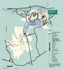
Hopkinton State Park trail map
Trail map of Hopkinton State Park in Massachusetts
81 miles away
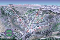
Mad River Glen Ski Area Trail Map
Official ski trail map of Mad River Glen ski area from the 2006-207 season.
81 miles away
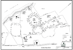
D.A.R. State Park map
Map of D.A.R. State park in Vermont
81 miles away
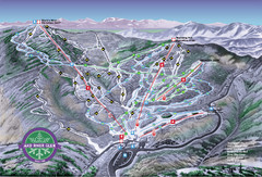
Mad River Glen Ski Trail Map
Trail map from Mad River Glen, which provides downhill skiing. It has 5 lifts servicing 45 runs...
81 miles away
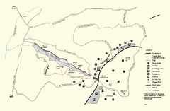
Purgatory Chasm State Reservation trail map
Trail map of Purgatory Chasm State Reservation in Massachusetts.
81 miles away
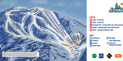
Ski Sundown Ski Trail Map
Trail map from Ski Sundown, which provides downhill and night skiing. It has 5 lifts servicing 15...
81 miles away
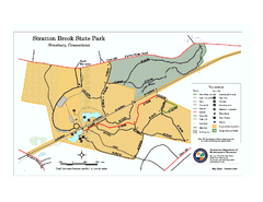
Stratton Brook State Park map
Trail map of Stratton Brook State Park in Connecticut.
82 miles away
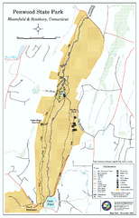
Penwood State Park map
Trail map of Penwood State Park in Connecticut.
82 miles away
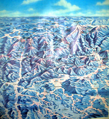
White Mountains New Hampshire Map
Old bird's eye view map of the White Mountain region of New Hampshire by Frank Thomas. Date of...
82 miles away
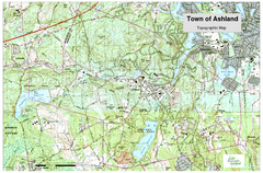
Ashland, MA - Topo Map
Map is provided by the town of Ashland, MA. See town's website for additional maps and...
82 miles away
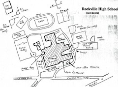
Rockville High School Map
Hand-drawn map of Rockville High School includes all buildings, Parking Lots, and sports fields.
82 miles away

