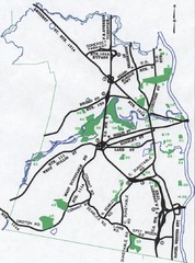
Nashua Parks Map
Map of Nashua, New Hampshire parks
65 miles away
Fort Ticonderoga 1777 Map
65 miles away
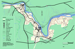
Robinson State Park trail map
Trail map of Robinson State Park in Massachusetts.
66 miles away
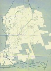
Bear Brook Trails Map
Bear Brook Park Trails and Park map in New Hampshire
66 miles away
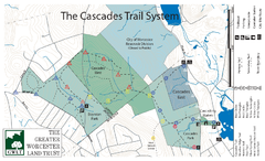
Cascades Park Map
66 miles away
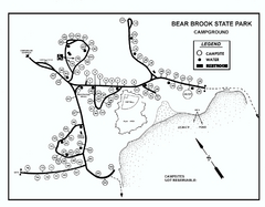
Bear Brook State Park Campground map
Campground map of Bear Brook State Park in New Hampshire
67 miles away
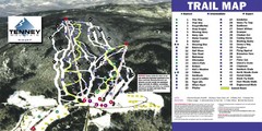
Tenney Mountain Ski Trail Map
Trail map from Tenney Mountain.
67 miles away

Six Flags New England Theme Park Map
Official Park Map of Six Flags New England in Massachusetts.
67 miles away
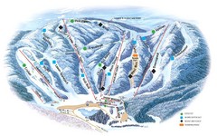
Butternut Ski Area Ski Trail Map
Trail map from Butternut Ski Area.
68 miles away
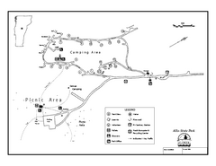
Allis State Park campground map
Campground map of Allis State Park in Vermont.
68 miles away
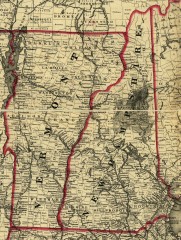
Map of New Hampshire and Vermont 1860
Map of New Hampshire and Vermont, 1860
69 miles away
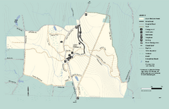
Granville State Forest trail map
Trail map of Granville State Forest in Massachusetts
69 miles away
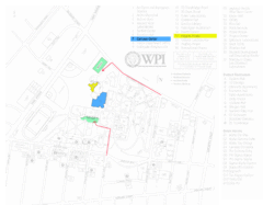
Worcester Polytechnic Institute Campus Map
Map of Worcester Polytechnic Institute. Includes all buildings, parking, streets, and location of...
69 miles away
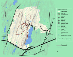
Wells State Park winter trail map
Winter use trail map of Wells State Park in Massachusetts.
70 miles away
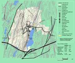
Wells State Park trail map
Trail map of Wells State Park in Massachusetts.
70 miles away
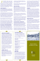
Mt. Pisgah Map - Northboro, Berlin, Boylston Mass
70 miles away
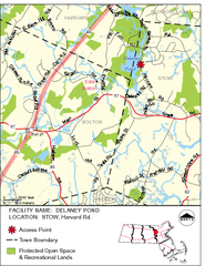
Delaney Conservation Land Map
71 miles away
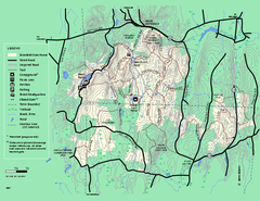
Brimfield State Forest trail map
Trail map of Brimfield State Forest in Massachusetts
71 miles away
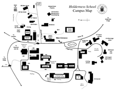
Holderness School Campus Map
A Campus Map of the Holderness School
71 miles away
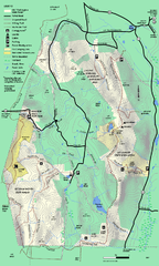
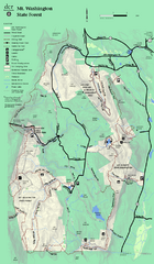
Mt. Washington State Forest trail map
Trail map of Mt. Washington State Forest
71 miles away
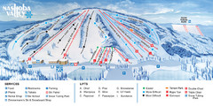
Nashoba Valley Ski Area Ski Trail Map
Trail map from Nashoba Valley Ski Area.
72 miles away
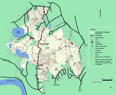
Lowell-Dracut-Tyngsboro State Forest trail map
Trail map for the Lowell-Dracut-Tyngsboro State Forest in Massachusetts
72 miles away
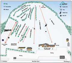
Ski Ward Ski Trail Map
Trail map from Ski Ward.
72 miles away
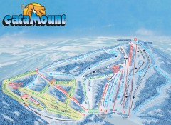
Catamount Ski Trail Map
Official ski trail map of Catamount ski area from the 2006-2007 season.
73 miles away
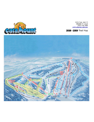
Catamount Ski Area Ski Trail Map
Trail map from Catamount Ski Area.
73 miles away
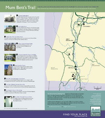
Mum Bett's Trail Map
Historic African American trail guide
74 miles away
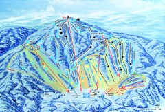
Gunstock Ski Trail Map
Ski trail map of Gunstock Mountain ski area
74 miles away
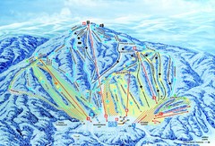
Gunstock Ski Area Ski Trail Map
Trail map from Gunstock Ski Area.
75 miles away
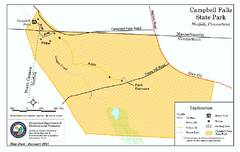
Cambell Falls State Park map
Trail map of Campbell Falls State Park Reserve in Connecticut
75 miles away
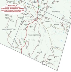
Washington, Vermont Map
75 miles away
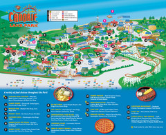
Canobie Lake Park Map
75 miles away
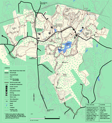
Great Brook Farm State Park trail map
Trail map of Great Brook Farm State Park.
76 miles away
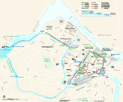
Lowell National Historical Park Official Map
Official NPS map of Lowell National Historical Park in Lowell, Massachusetts. Map shows all of...
76 miles away
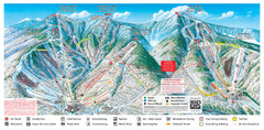
Sugarbush Resort Ski Trail Map
Trail map from Sugarbush Resort.
76 miles away
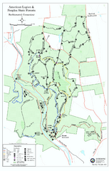
American Legion State Forest trail map
Trail map of American Legion and Peoples State Forests in Connecticut.
77 miles away
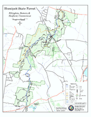
Trail map of Shenipsit State Forest
Trail map of Shenipsit State Forest in Connecticut.
77 miles away
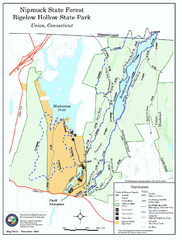
Bigelow Hollow State Park trail map
Trail map of Bigelow Hollow State Park in Connecticut.
77 miles away
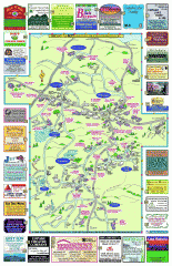
Columbia County - Boston Corners, Copake, Copake...
Tourist map of Columbia County, Mass. Includes towns of Boston Corners, Copake, Copake Falls...
77 miles away
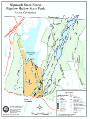
Nipmuck State Forest trail map
Trail map of Nipmuck State Forest and Bigelow Hollow State Park in Connecticut.
77 miles away

