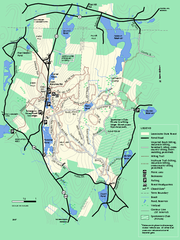
Leominster State Forest trail map
Trail map of Leominster State Forest in Massachusetts
57 miles away
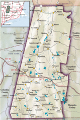
Berkshires Map
Overview map of the Berkshires region of Western Massachusetts
57 miles away
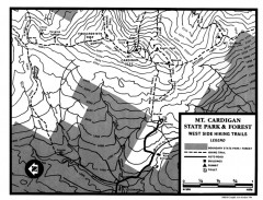
Cardigan State Park map
Topographical map of West Side hiking trails in Cardigan State Park in New Hampshire.
57 miles away
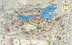
St. Paul's School Campus Map
Campus map of St. Paul's School
57 miles away
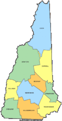
New Hampshire Counties Map
57 miles away
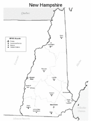
New Hampshire Airports Map
57 miles away
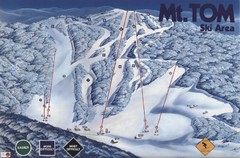
Mount Tom Ski Trail Map
Trail map from Mount Tom, which provides downhill skiing. This ski area opened in 1962.
57 miles away
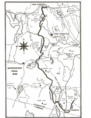
Monoosnoc Trail Map
57 miles away
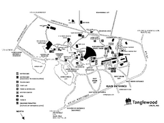
Tanglewood Map
Detailed map of the Tanglewood grounds that includes the location of the Box Office, Friends Office...
57 miles away
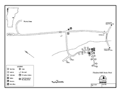
Thetford State Park Campground Map
Campground map for Thetford Hill State Park in Vermont
58 miles away
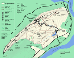
Mt. Tom State Reservation trail map
Trail map of Mt. Tom State Reservation
58 miles away
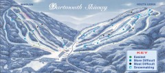
Dartmouth Skiway Trail Map
Official ski trail map of the Dartmouth Skiway. The Skiway is owned by Dartmouth College. Over...
59 miles away
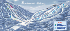
Dartmouth Skiway Ski Trail Map
Trail map from Dartmouth Skiway.
59 miles away
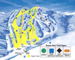
Blandford Ski Trail Map
Official ski trail map of Blandford ski area
60 miles away
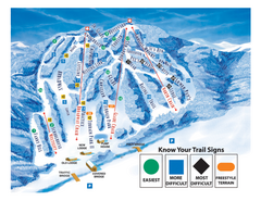
Blandford Ski Area Ski Trail Map
Trail map from Blandford Ski Area.
60 miles away
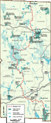
Midstate Trail Map
Map of the Midstate Trail, which runs from Ashburnham to the Rhode Island border. Shows state...
60 miles away
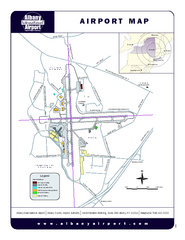
Albany International Airport Map
Official Map of the Albany International Airport in New York. Shows all terminals.
60 miles away
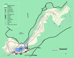
Chicopee State Park trail map
Chicopee State Park trail map
60 miles away
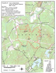
Merrimack Topo Map
A Topographical map Horse Hill Nature Preserve.
60 miles away
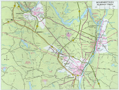
Albany, New York City Map
61 miles away
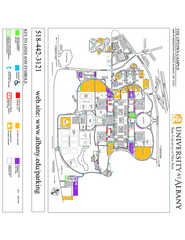
University at Albany Map
Campus Map of the University at Albany. All buildings shown.
61 miles away
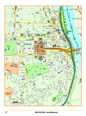
Albany downtown map
Road map of downtown Albany, NY. Shows city parks and New York State government buildings.
61 miles away
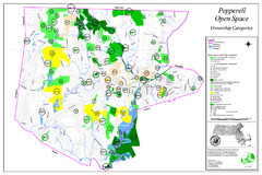
Pepperell Conservation Land and Open Spaces Map
Map showing conservation land and open spaces in Pepperell, MA.
61 miles away
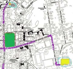
Manchester, New Hampshire City Map
62 miles away
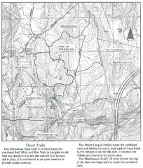
Trout Brook Conservation Area Map
62 miles away
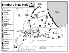
Branbury State Park map
Campground map of Branbury State Park in Vermont
62 miles away
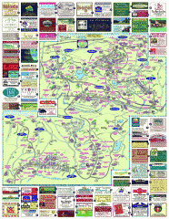
South County Berkshires map
Tourist map of Great Barrington, Housatonic, Sheffield, S. Egremont, N. Egremont Lenox, Stockbridge...
62 miles away
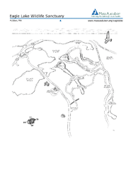
Eagle Lake Conservation Area Map
62 miles away
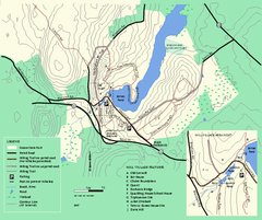
Moore State Park trail map
Trail map of Moore State Park in Massachusetts.
63 miles away
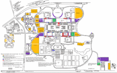
New York State University Uptown Campus Map
Map of the NYS University Campus, including all buildings, streets, and Visitors Parking...
63 miles away
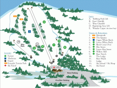
McIntyre Ski Trail Map
Official ski trail map of McIntyre ski area.
63 miles away
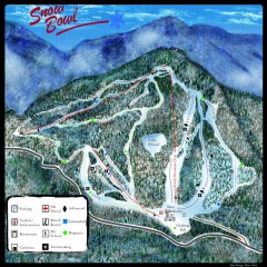
Middlebury Snow Bowl Ski Trail map
Official ski trail map of Middlebury College Snow Bowl ski area.
63 miles away

Palmer Motorsports Park Map
Track Map for Proposed Palmer Motorsports Park
64 miles away
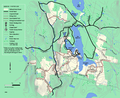
Tolland State Forest winter trail map
Winter usage trail map of the Tolland State Forest area in Massachusetts.
64 miles away
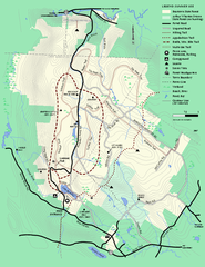
Beartown State Park Summer Map
Summer Map of Beartown State Park in Massachusetts.
64 miles away
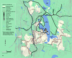
Tolland State Forest summer trail map
Summer use map for Tolland State Forest in Massachusetts.
64 miles away
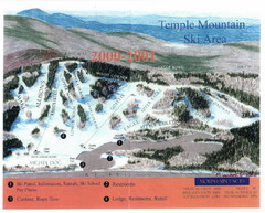
Temple Mountain Last year open—Credited to...
Trail map from Temple Mountain. This ski area opened in 1937.
64 miles away
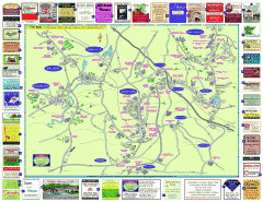
Columbia County - Austerlitz, Canaan, Chatham...
Tourist map of Columbia County including towns of Austerlitz, Canaan, Chatham, East Chatham Ghent...
64 miles away
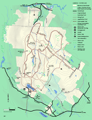
Beartown State Park Winter Map
Winter use map of Beartown State Park in Massachusetts
65 miles away

