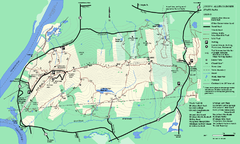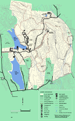
DAR State Forest summer map
Summer use map of the Daughters of the American Revolution state forest.
44 miles away
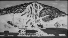
Quechee Club Ski Trail map
Official ski trail map of Quechee ski area from the 2006-2007 season.
44 miles away
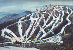
Brodie Ski Trail Map
Trail map from Brodie.
45 miles away
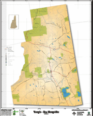
Temple NH Topo Map
Topographical map of Temple, NH area. Shows all roads and points of interest.
45 miles away
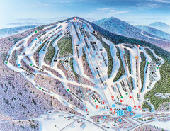
Pats Peak Ski Map
ski trail map of pats peak ski area
46 miles away
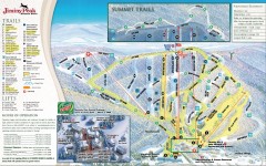
Jiminy Peak Ski Trail Map
Official ski trail map of Jiminy Peak ski area from the 2007-2008 season.
46 miles away
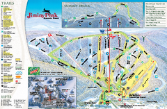
Jiminy Peak Resort Ski Trail Map
Trail map from Jiminy Peak Resort.
46 miles away
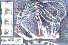
Whaleback Ski Trail Map
A Trail Map of Whaleback Ski Area
46 miles away
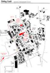
University of Massachusetts Amherst Parking Map
Map of the University of Massachusetts. Includes all buildings, streets, and parking information.
46 miles away
Mt. Watatic to Wachusett Mountain, Massachusetts...
47 miles away
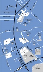
Downtown Amherst, Massachusetts Map
Tourist map of downtown Amherst, Massachusetts, showing attractions, government buildings, atms...
47 miles away
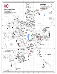
University of Massachusetts - Amherst Map
Campus Map of the University of Massachusetts - Amherst. All buildings shown.
47 miles away
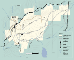
Windsor State Forest trail map
Trail map of Windsor State Forest in Massachusetts.
47 miles away
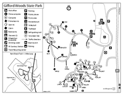
Gifford Woods State Park Campground Map
Campground map of Gifford Woods State Park in Vermont
47 miles away
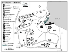
Silver Lake State Park Campground Map
Campground map of Silver Lake State Park in Vermont
48 miles away
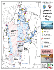
Quabbin Reservoir Fishing Map
Fishing access map of Quabbin Reservoir. Shows all ponds and submerged ponds.
48 miles away
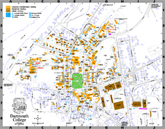
Dartmouth College campus map
Map of Dartmouth College. Shows all academic, administration, residential, and athletic buildings.
50 miles away
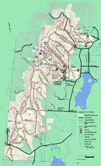
Pittsfield State Forest winter trail map
Winter use trail map of Pittsfield State Forest in Massachusetts.
50 miles away
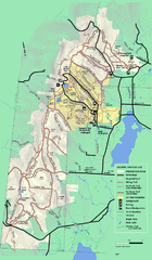
Pittsfield State Forest summer trail map
Summer use trail map of Pittsfield State Forest in Massachusetts.
50 miles away
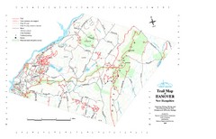
Hanover Trail Map
Recreation trails in Hanover
50 miles away
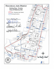
Pittsfield,, Massachusetts City Map
50 miles away
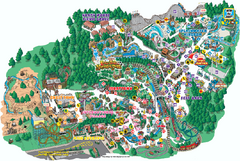
Six Flags Great Escape Theme Park Map
Official Park map of Six Flags Great Escape Theme Park in Lake George, NY.
51 miles away
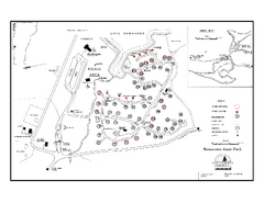
Bomoseen State Park map
Campground map of Bomoseen State Park in Vermont
51 miles away
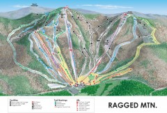
Ragged Mountain Ski trail Map
Official ski trail map of Ragged Mountain ski area from the 2007-2008 season.
52 miles away
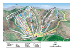
Ragged Mountain Ski Trail Map
Trail map from Ragged Mountain.
52 miles away
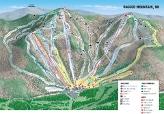
Ragged Mountain Ski Trail Map
Trail map from Ragged Mountain.
52 miles away
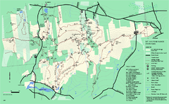
Mount Holyoke Range State Park Map
Trail map of Holyoke Range State Park.
52 miles away
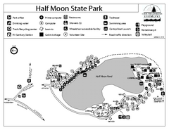
Half Moon State Park Campground Map
Campground map of Half Moon State Park in Vermont
52 miles away
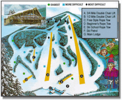
Bousquet Ski Area Ski Trail Map
Trail map from Bousquet Ski Area.
53 miles away
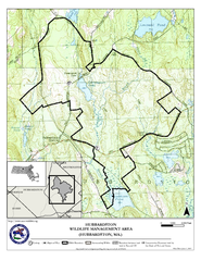
Hubbardston WMA Map
53 miles away
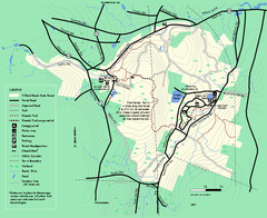
Willard Brook State Forest trail map
Trail map of Willard Brook State Forest in Massachusetts.
53 miles away
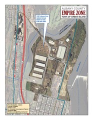
Green Island Map
Aerial town map of Green Island, New York on the Hudson River
55 miles away
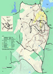
Wachusett Mountain State Reservation trail map
Trail map of Wachusett Mountain State Reservation in Massachusetts.
55 miles away
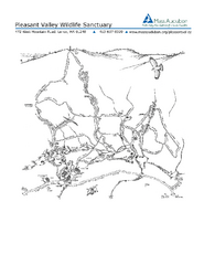
Pleasant Valley Wildlife Sanctuary Trail Map
Trail map of Pleasant Valley Wildlife Sanctuary
55 miles away
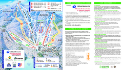
Wachusett Mountain Ski Trail Map
Trail map from Wachusett Mountain.
55 miles away
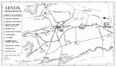
Lenox Town Map
Hand-drawn town map of Lenox, Mass. Bordered by Lenox Mountain and October Mountain. Shows points...
56 miles away
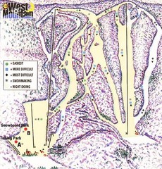
West Mountain Ski Area Ski Trail Map
Trail map from West Mountain Ski Area.
56 miles away
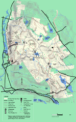
October Mountain State Forest trail map
Trail map of October Mountain State Forest in Massachusetts.
56 miles away
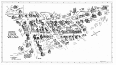
Lenox Village Map
Hand-drawn village map of historic center of Lenox, Massachusetts
56 miles away

