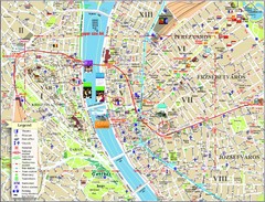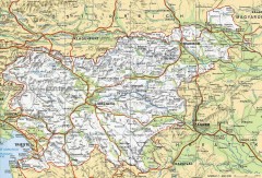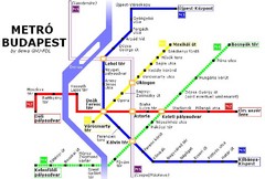
Budapest Metro Map
135 miles away
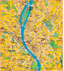
Budapest Tourist Map
135 miles away
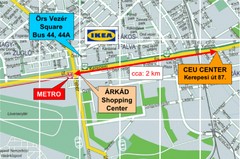
Local Budapest Tourist Map
Stores, main streets and locations in Central Budapest
135 miles away
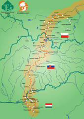
Amber Trail Budapest-Krakow Map
Amber Trail map showing the trail from Budapest to Krakow where you will see several heritage sites.
135 miles away
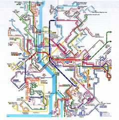
Budapest Public Transportation Map
135 miles away
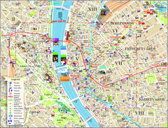
Budapest Tourist Map
Tourist map of central Budapest, Hungary. Shows theaters, museums, post offices, churches, and...
135 miles away
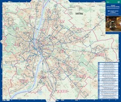
Budapest Night Bus Routes Map
Map of night bus routes in Budapest, Hungary
135 miles away
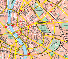
Budapest Street Map
Street map of central Budapest, Hungary.
135 miles away
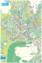
Banska Bystrica Tourist Map
Tourist map of central Banska Bystrica, Slovakia. Shows points of interest. Scanned.
136 miles away
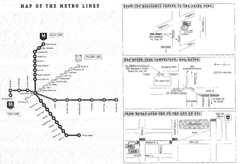
Central European University Metro and Bus Line Map
136 miles away
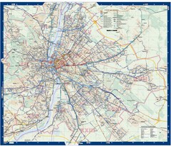
Budapest Public Transit map
136 miles away
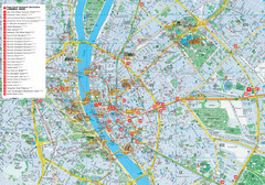
Budapest Hotel Map
Tourist map of Budapest, Hungary. Shows all hotels.
137 miles away
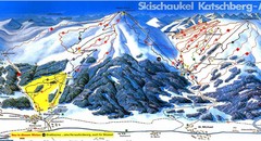
Lungau Ski Trail Map
Trail map from Lungau.
137 miles away
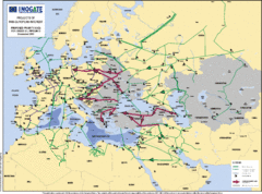
Proposed European Crude Oil Pipelines Map
Shows pan-European proposed priority axes for crude oil pipelines
138 miles away
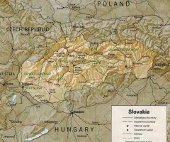
Slovakia country map
Map of Slovakia with surrounding countries. Shows boundaries, major cities, and shaded with...
142 miles away
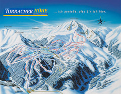
Turracher Höhe Ski Trail Map
Trail map from Turracher Höhe.
143 miles away
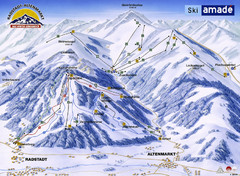
Ski Amade Map
143 miles away
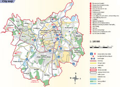
Ostrava Tourist Map
Tourist map of Ostrava, Czech Republic. Shows points of interest.
146 miles away
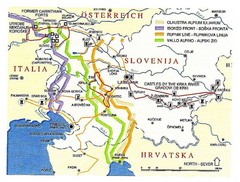
Slovenia Tour Map
147 miles away

Czech Republic Map
152 miles away
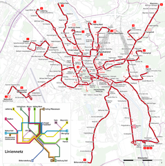
Salzburg Trolleybus Map
153 miles away
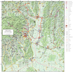
Zagreb County Cycling Route Map
Shows a cycling route in Zagreb County, Croatia. From the Roman “Magna Vie” near Komin...
153 miles away
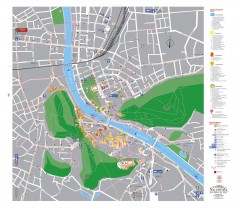
Salzburg Tourist Map
Tourist map of Salzburg, Austria. In German.
153 miles away
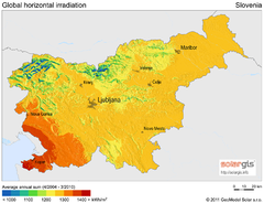
Solar Radiation Map of Slovenia
Solar Radiation Map Based on high resolution Solar Radiation Database: SolarGIS. On the Solar Map...
154 miles away
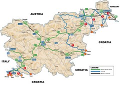
Slovenia Highways Map
154 miles away
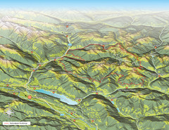
Nockberge National Park Map
Outline map of Nockberge National Park, Austria in the summer. Shows surrounding towns.
154 miles away
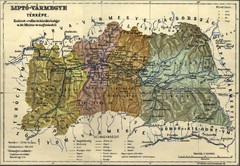
1910 Hungarian Map
Guide to area of Slovakia, previously part of Hungary
156 miles away
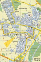
Freilassing Map
Street map of Freilassing
156 miles away
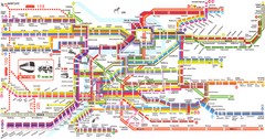
Prague Metro Map
Guide to Prague public transportation
156 miles away
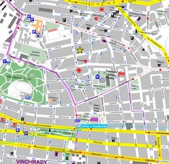
Praha Tourist Map
156 miles away
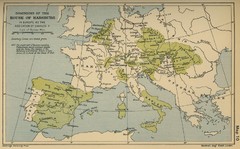
Dominions in the House of Habsburg - 1547...
156 miles away
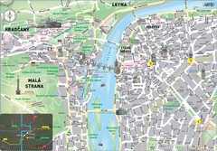
Prague Historical Center Map
Tourist map of the historical center of Prague, Czech Republic. Shows points of interest.
157 miles away
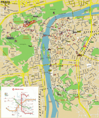
Prague (Praha) Tourist Map
Guide to major streets, points of interest and Metro
157 miles away
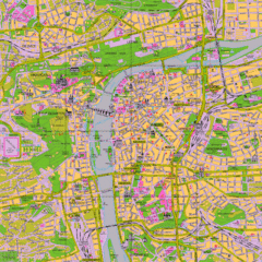
Prague Tourist Map
Tourist map of Prague, Czech Republic.
157 miles away
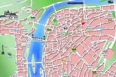
Old Prague Tourist Map
Simplified tourist map of old Prague, Czech Republic. Shows major landmarks, metro stations, and...
157 miles away
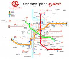
Prague Metro and Strret Car Map
Overview of Prague's metro and bus lines. Date unknown.
157 miles away
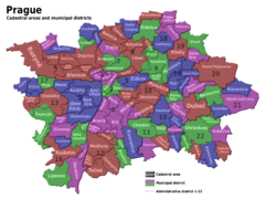
Prag Districts Map
157 miles away
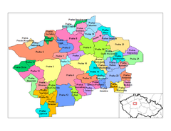
Prag Districts Map
157 miles away

