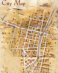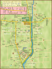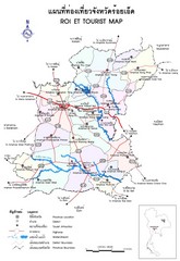
Yangshou Tourist Map
1068 miles away
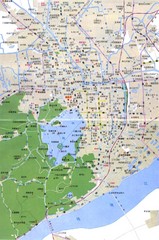
Hangzhou Map
1068 miles away

Pu Luong Nature Reserve Map
1069 miles away
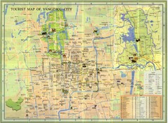
Yangzhou Map
1070 miles away
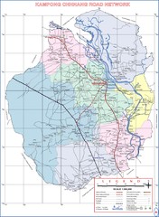
Kampong Chhnang Province Cambodia Road Map
1074 miles away
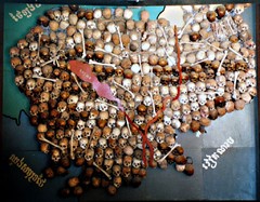
Skull Map of Cambodia Tuol Sleng Genocide Museum...
The Tuol Sleng Genocide Museum is a museum in Phnom Penh, the capital of Cambodia. The site is a...
1075 miles away
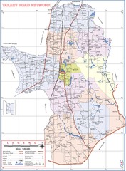
Takaev Province Cambodia Roads ( Takeo Provience...
1078 miles away
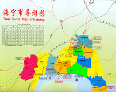
Haining Region Map
A guide of Haining, China
1080 miles away
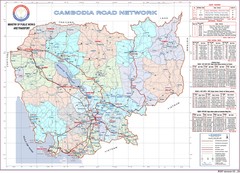
Cambodian National Road Map (also Index to...
Searching the red names on this map will help you find each province's road map.
1084 miles away
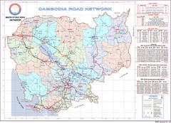
Cambodian Proviencial Road Map
Cambodian road map. This is the index map to each province has a more detailed map. Refer to the...
1084 miles away
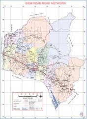
Siem Reab Province Cambodia Road Map ( Siem Reap...
1086 miles away
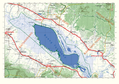
Tonle Sap Map
Regional map of Tonle Sap, Cambodia. Features some major temples, access roads, cities and villages
1088 miles away

Anguar island Map
1088 miles away
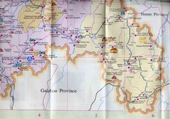
XiuShan Tourist Map
Tourist map showing Xiushan in the Chongqing Municipality
1089 miles away

Palau Peleliu island Map
1091 miles away

Tai Wai Map
Detailed road and station map.
1093 miles away

Palau Koror island Map
1093 miles away
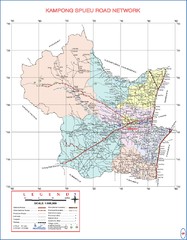
Kampong Spueu Province Cambodia Road Map
1094 miles away
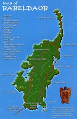
Babeldoab Map
Map of Babeldoab island of the Palau Islands
1094 miles away
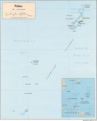
Palau Islands Map
1094 miles away
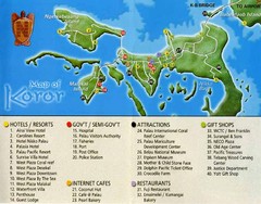
Koror Island Tourist Map
Tourist map of Koror island of Palau
1094 miles away

Palau airport vicinity Map
1096 miles away
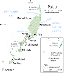
Palau Map
Guide to the country of Palau, the world's youngest and smallest sovereign state, previously...
1098 miles away
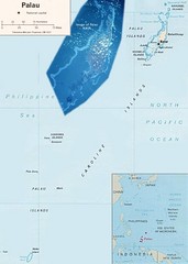
Palau Political Map
Guide to the island nation of Palau
1098 miles away
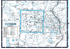
Chiang Mai City Tourist Map (Japanese)
Tourist map of Chiang Mai City, Thailand. In Japanese.
1101 miles away

Jiaxing Guide Map
1102 miles away
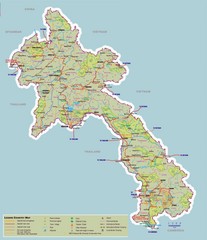
Laos Map
Map of Laos with elevations, cities and tourism information
1102 miles away
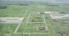
Siem Reap / Angkor Wat Overview Map
Bird's eye overview of Angkor Wat and surrounding area near Siem Reap, Cambodia. Shows Angkor...
1105 miles away
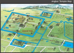
Angkor Temple Map
1105 miles away
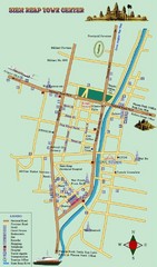
Siemreab Tourist Map
1106 miles away
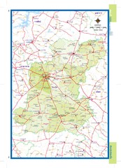
Roiet, Thailand Map
1106 miles away
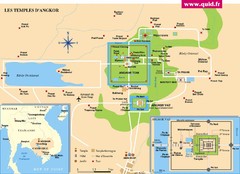
Temples d' Angkor Map
1107 miles away
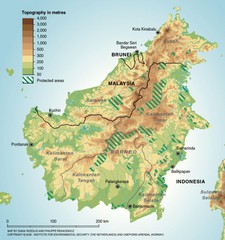
Borneo Protected Areas Map
Physical map of island of Borneo, Indonesia showing protected areas. Shows topography in meters.
1108 miles away
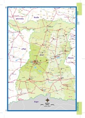
Surin, Thailand Map
1108 miles away
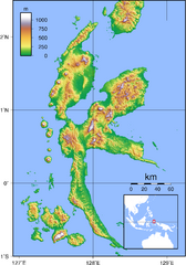
Halmahera Topography Map
Shows color coded shaded relief of island of Halmahera, Indonesia.
1109 miles away
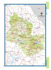
Sakonnakhon, Thailand Map
1114 miles away
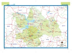
Kalasin, Thailand Map
1115 miles away

