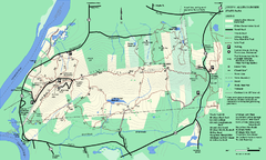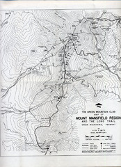
Mount Mansfield Map
Long Trail map for Green Mountains in Vermont
76 miles away
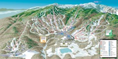
Stowe ski trail map 2006-07
Complete ski trail map of Stowe Mountain resort for 2006-2007 season.
77 miles away
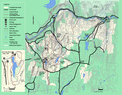
Wendell State Forest trail map
Trail map of Wendell State Forest in Massachusetts.
77 miles away
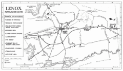
Lenox Town Map
Hand-drawn town map of Lenox, Mass. Bordered by Lenox Mountain and October Mountain. Shows points...
77 miles away
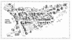
Lenox Village Map
Hand-drawn village map of historic center of Lenox, Massachusetts
78 miles away
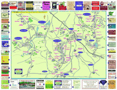
Columbia County - Austerlitz, Canaan, Chatham...
Tourist map of Columbia County including towns of Austerlitz, Canaan, Chatham, East Chatham Ghent...
78 miles away
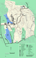
DAR State Forest summer map
Summer use map of the Daughters of the American Revolution state forest.
78 miles away
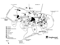
Tanglewood Map
Detailed map of the Tanglewood grounds that includes the location of the Box Office, Friends Office...
78 miles away
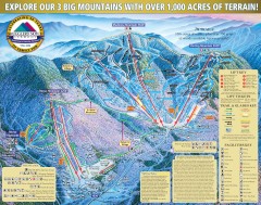
Smugglers' Notch Ski Trail map 2006-07
Official ski trail map of Smugglers' Notch (Smuggs) ski area from the 2006-2007 season.
79 miles away
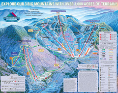
Smugglers’ Notch Resort Ski Trail Map
Trail map from Smugglers’ Notch Resort.
79 miles away
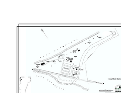
Sand Bar State Park Map
Campground map of Sand Bar State Park in Vermont
79 miles away
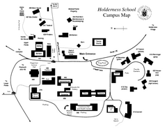
Holderness School Campus Map
A Campus Map of the Holderness School
79 miles away
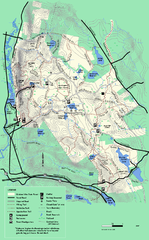
October Mountain State Forest trail map
Trail map of October Mountain State Forest in Massachusetts.
80 miles away
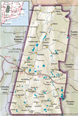
Berkshires Map
Overview map of the Berkshires region of Western Massachusetts
80 miles away
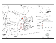
Elmore State Park map
Campground map of Elmore State Park in Vermont
80 miles away
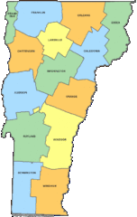
Vermont Counties Map
81 miles away
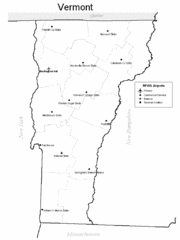
Vermont Airports Map
81 miles away
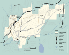
Windsor State Forest trail map
Trail map of Windsor State Forest in Massachusetts.
81 miles away
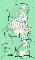
Otter River State Forest winter trail map
Winter usage trail map for Otter River State Park in Massachusetts.
82 miles away
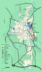
Otter River State Forest summer trail map
Summer trail map of the Otter River State Forest area in Massachusetts.
82 miles away
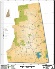
Temple NH Topo Map
Topographical map of Temple, NH area. Shows all roads and points of interest.
82 miles away
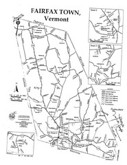
Fairfax Town Map
83 miles away
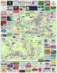
South County Berkshires map
Tourist map of Great Barrington, Housatonic, Sheffield, S. Egremont, N. Egremont Lenox, Stockbridge...
83 miles away
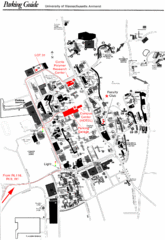
University of Massachusetts Amherst Parking Map
Map of the University of Massachusetts. Includes all buildings, streets, and parking information.
83 miles away
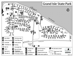
Grand Isle State Park Campground Map
Campground map for Grand Isle State Park in Vermont
84 miles away
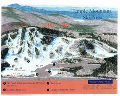
Temple Mountain Last year open—Credited to...
Trail map from Temple Mountain. This ski area opened in 1937.
84 miles away
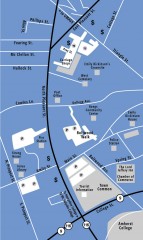
Downtown Amherst, Massachusetts Map
Tourist map of downtown Amherst, Massachusetts, showing attractions, government buildings, atms...
84 miles away
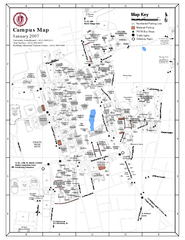
University of Massachusetts - Amherst Map
Campus Map of the University of Massachusetts - Amherst. All buildings shown.
84 miles away
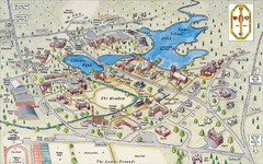
St. Paul's School Campus Map
Campus map of St. Paul's School
85 miles away
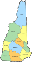
New Hampshire Counties Map
85 miles away
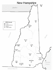
New Hampshire Airports Map
85 miles away
Mt. Watatic to Wachusett Mountain, Massachusetts...
86 miles away
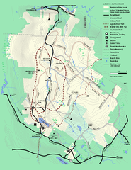
Beartown State Park Summer Map
Summer Map of Beartown State Park in Massachusetts.
87 miles away
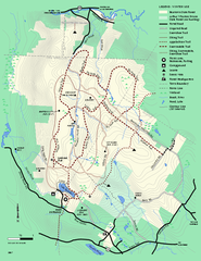
Beartown State Park Winter Map
Winter use map of Beartown State Park in Massachusetts
87 miles away
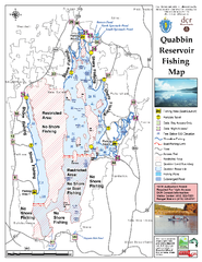
Quabbin Reservoir Fishing Map
Fishing access map of Quabbin Reservoir. Shows all ponds and submerged ponds.
87 miles away
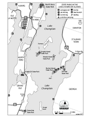
State Parks of the Champlain Islands Map
Map of the various State Parks of the Inland Sea / Lake Champlain area in Vermont
88 miles away
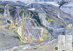
Loon Mountain Ski Trail Map
Official ski trail map of Loon Mountain ski area from the 2007-2008 season.
88 miles away
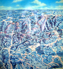
White Mountains New Hampshire Map
Old bird's eye view map of the White Mountain region of New Hampshire by Frank Thomas. Date of...
88 miles away
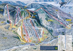
Loon Mountain Ski Trail Map
Trail map from Loon Mountain.
88 miles away

