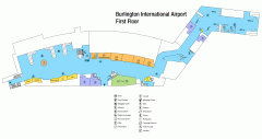
Burlington International Airport Terminal Map
Official Terminal Map of Burlington International Airport. All areas shown.
69 miles away
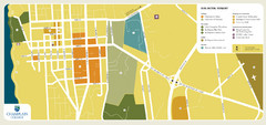
Burlington, Vermont City Tourist Map
The city of Burlington, Vermont
69 miles away
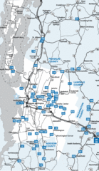
Chittenden County Map
69 miles away
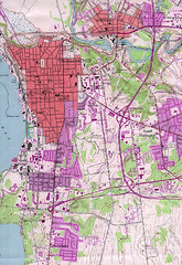
Burlington Vt 87 Map
Topographical map of the city of Burlington, Vt.
69 miles away
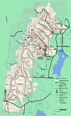
Pittsfield State Forest winter trail map
Winter use trail map of Pittsfield State Forest in Massachusetts.
69 miles away
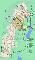
Pittsfield State Forest summer trail map
Summer use trail map of Pittsfield State Forest in Massachusetts.
69 miles away
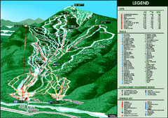
Whiteface Mountain—Lake Placid Ski Trail Map
Trail map from Whiteface Mountain—Lake Placid.
69 miles away
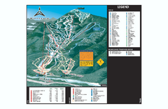
Whiteface Ski Trail Map
Official ski trail map of Whiteface 2006-2007 season.
70 miles away
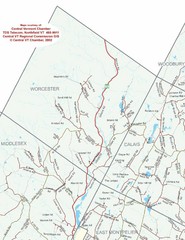
Worcester Town Map
Town map of Worcester, Vermont and surrounding areas
70 miles away
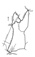
30K Race Course Map
Green Mountain Athletic Association Common to Common 30K Course Map in Essex Junction, VT
70 miles away
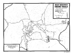
Mount Monadnock State Park Map
Official hiking map of the park. With its thousands of acres of protected highlands, 3,165-ft...
70 miles away
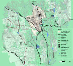
Mt. Grace State Forest trail map
Trail map of Mt. Grace State Forest near Warwick, Massachusetts.
70 miles away
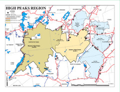
Adirondacks Canoeing Map
Guide to canoeing in the Adirondacks
71 miles away
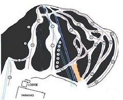
Royal Mountain Ski Trail Map
Trail map from Royal Mountain.
71 miles away
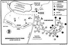
Monadnock State Park map
Campground map of Monadnock State Park in New Hampshire
71 miles away
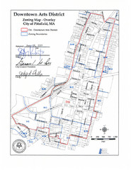
Pittsfield,, Massachusetts City Map
71 miles away
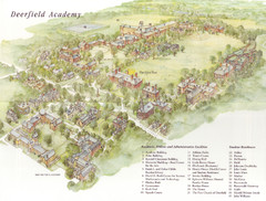
Deerfield Academy Campus Map
Shows buildings and facilities of Deerfield Academy. Scanned.
71 miles away
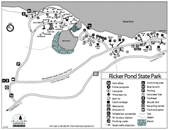
Ricker Pond State Park Campground Map
Campground map of Ricker Pond State Park in Vermont
72 miles away
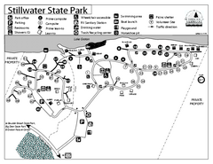
Stillwater State Park Campground Map
Campground map for Stillwater State Park in Vermont
72 miles away
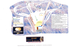
Arrowhead Arrowhead Ski Trail Map
Trail map from Arrowhead.
72 miles away
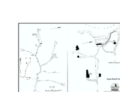
Seyon Lodge State Park Map
Campground map of Seyon Lodge State Park in Vermont
72 miles away
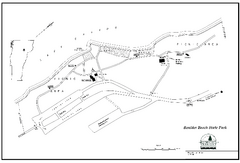
Boulder Beach State Park map
Map of Boulder Beach State Park on Lake Groton in Vermont.
72 miles away
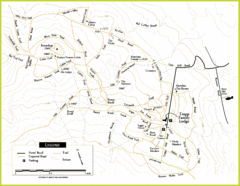
Trapp Ski Center Trail Map
Map of trails in the ski center at the Trapp Family Lodge
72 miles away
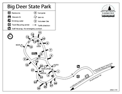
Big Deer State Park map
Campground map for Big Dear State Park in Vermont
72 miles away
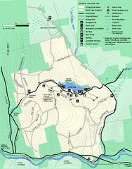
Erving Summer trail map
Summer use map of Erving State Park in Massachusetts.
73 miles away
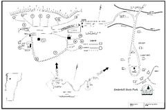
Underhill State Park Campground Map
Campground map for Underhill State Park in Vermont.
73 miles away
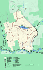
Erving State Park winter use map
Winter use map of the Erving State Park in Massachusetts
73 miles away
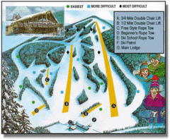
Bousquet Ski Area Ski Trail Map
Trail map from Bousquet Ski Area.
73 miles away
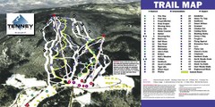
Tenney Mountain Ski Trail Map
Trail map from Tenney Mountain.
74 miles away
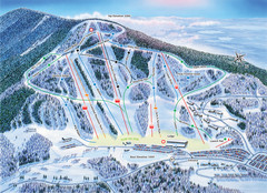
Crotched Mountain Ski Trail Map
Trail map from Crotched Mountain.
75 miles away
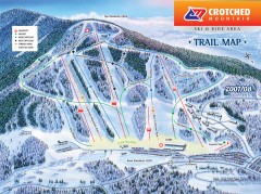
Crotched Mountain Ski Trail Map
Official ski trail map of Crotched Mountain ski area from the 2007-2008 season.
75 miles away
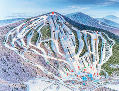
Pats Peak Ski Map
ski trail map of pats peak ski area
75 miles away
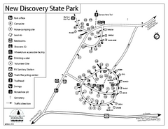
New Discovery State Park Campground Map
Campground map of New Discovery State Park in Vermont, including nearby Kettle Pond
75 miles away
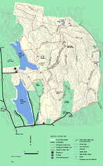
DAR State Forest winter map
Winter use map of the Daughters of the American Revolution State Forest.
75 miles away
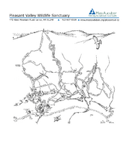
Pleasant Valley Wildlife Sanctuary Trail Map
Trail map of Pleasant Valley Wildlife Sanctuary
75 miles away
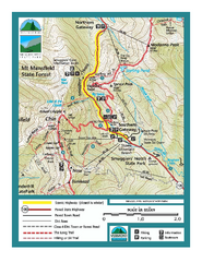
Smugglers Notch Trail Map
Trail map for Smugglers Notch State Park in Vermont
75 miles away
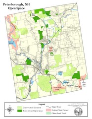
Peterborough Open Space Map
Map of open space lands in Peterborough, New Hampshire
76 miles away
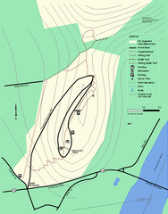
Mt. Sugarloaf State Reservation trail map
Trail map of Mount Sugarloaf State Reservation
76 miles away
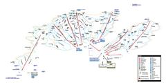
Stowe Mountain Resort Ski Trail Map
Trail map from Stowe Mountain Resort, which provides downhill, nordic, and terrain park skiing. It...
76 miles away
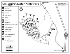
Smugglers Notch State Park Campground Map
Campground map of Smugglers Notch State Park in Vermont
76 miles away

