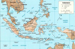
Indonesia Island Map
27 miles away
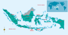
Indonesia Overview map
Shows regions of Indonesia and inset map shows Indonesia in context of rest of world.
27 miles away
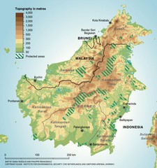
Borneo Protected Areas Map
Physical map of island of Borneo, Indonesia showing protected areas. Shows topography in meters.
86 miles away
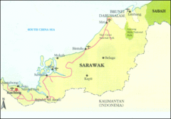
Sarawak Map
Map of Sarawak, a state on the island of Borneo.
255 miles away
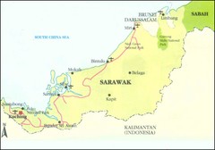
Sarawak Malaysia Map
265 miles away
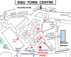
Sibu Tourist Map
285 miles away
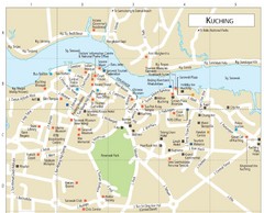
Kuching Guide Map
321 miles away
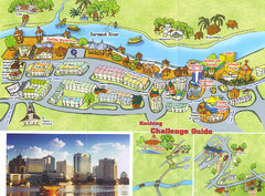
Kuching Tourist Map
Guide to Kuching, Sarawak
321 miles away
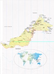
Sarawak and Sabah Map
Overview map of Sarawak and Sabah, Malaysia. Also shows Brunei Darussalam. Inset shows location...
342 miles away
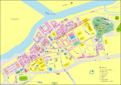
Miri City Map
City map of old town Miri. Shows places of interest.
381 miles away
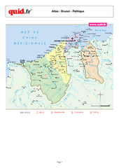
Brunei Regional Map
Map of country with detail of regional divides
391 miles away
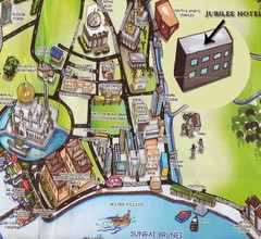
Sungai tourist Map
393 miles away
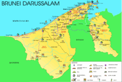
Brunei Darussalam Tourist Map
Tourist map of Brunei Darussalam. Shows points of interest
398 miles away

Brunei Map
399 miles away
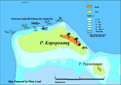
Kapoposang Map
Kapoposang National Marine Park may not be as well-known as other celebrated diving resorts, like...
415 miles away
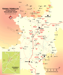
Tana Toraja Tourist Map
Tana Toraja tourist map with inset of Rantepao, Indonesia
418 miles away
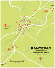
Rantepao Tourism Map
Tourist map of Rantepao, Indonesia. Shows hotels, restaurants, and banks.
418 miles away

Bandar Seri Begawan city Map
420 miles away
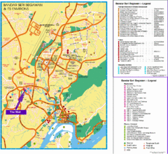
Bandar Seri Begawan Tourist Map
Tourist map of Bandar Seri Begawan, Brunei and environs. Shows foreign missions, hotels, shopping...
420 miles away
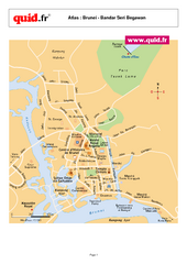
Bandar Seri Begawan Map
City map of capital
421 miles away
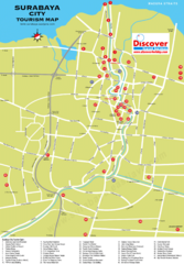
Surabaya Tourist Map
Tourist map of Surabaya, Indonesia
437 miles away

Labuan Town Tourist map
Tourist Map for the town of Labuan, Malaysia showing airports, bus stops and tourist information.
449 miles away
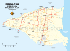
Sidoarjo Tourist Map
Tourist/road map of Sidoarjo Regency in Indonesia
449 miles away
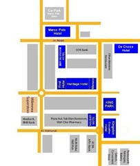
Tawau Hotel Map
455 miles away
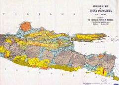
Geological Indonesia Map
Djawa and Madura
457 miles away
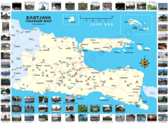
East Java Tourism Map
Tourist map of East Java, Indonesia. Shows photos of points of interest.
459 miles away
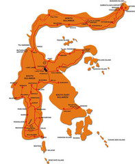
Sulawesi Island Map
Tourist map of island of Sulawesi, Indonesia.
467 miles away
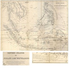
Eastern Islands Map
Antique map of the Eastern Islands or Malay Archipelago. Includes all islands, towns and detailed...
468 miles away
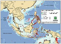
East Asian Sea Map
Map of the seas and oceans in East Asia. Includes color coded depths of the water and locations of...
478 miles away
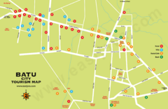
Batu City Map
481 miles away
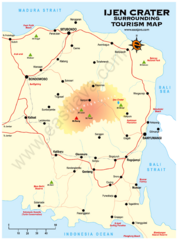
Ijen Crater Tourist Map
Tourist map of Ijen Crater and surrounding area on East Java, Indonesia
486 miles away
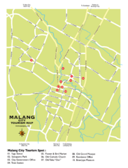
Malang City Tourism Map
Tourist map of Malang City, Indonesia. Shows points of interest.
486 miles away
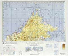
Sandakan Topo Map
Topo map of region of Sabah, Malaysia
505 miles away

Kabupaten Tulungagung Map
506 miles away
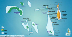
Mataking Island Diving Map
Mataking is a private island next to Sipadan, north of Mabul.
507 miles away

Java Guide Map
509 miles away
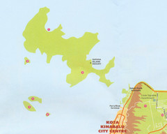
Tunku Abdul Rahman Marine Park Map
Map of the 5 islands of Tunku Abdul Rahman Marine Park in Kota Kinabalu
509 miles away

