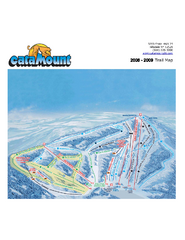
Catamount Ski Area Ski Trail Map
Trail map from Catamount Ski Area.
61 miles away
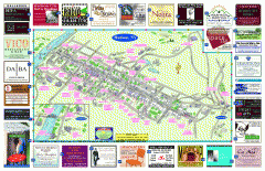
Hudson Tourist Map
Tourist map of Hudson, New York showing all tourist points of interest. Ads around border.
61 miles away
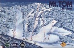
Mount Tom Ski Trail Map
Trail map from Mount Tom, which provides downhill skiing. This ski area opened in 1962.
61 miles away
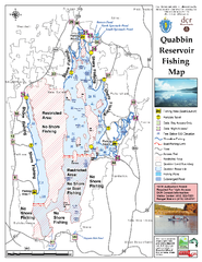
Quabbin Reservoir Fishing Map
Fishing access map of Quabbin Reservoir. Shows all ponds and submerged ponds.
62 miles away
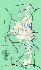
Otter River State Forest winter trail map
Winter usage trail map for Otter River State Park in Massachusetts.
62 miles away
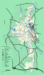
Otter River State Forest summer trail map
Summer trail map of the Otter River State Forest area in Massachusetts.
62 miles away
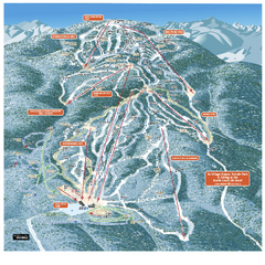
Gore Mountain Ski Trail Map
Trail map from Gore Mountain.
62 miles away
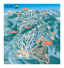
Gore Mountain Ski Trail Map
Trail map from Gore Mountain.
62 miles away
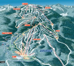
Gore Mountain Ski Trail Map
Official ski trail map of Gore Mountain ski area from the 2007-2008 season.
62 miles away
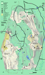
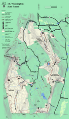
Mt. Washington State Forest trail map
Trail map of Mt. Washington State Forest
62 miles away
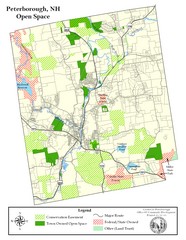
Peterborough Open Space Map
Map of open space lands in Peterborough, New Hampshire
63 miles away
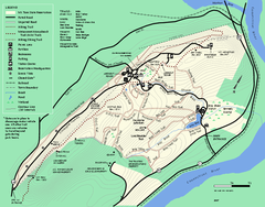
Mt. Tom State Reservation trail map
Trail map of Mt. Tom State Reservation
63 miles away
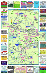
Columbia County - Boston Corners, Copake, Copake...
Tourist map of Columbia County, Mass. Includes towns of Boston Corners, Copake, Copake Falls...
64 miles away
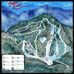
Middlebury Snow Bowl Ski Trail map
Official ski trail map of Middlebury College Snow Bowl ski area.
64 miles away
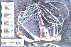
Whaleback Ski Trail Map
A Trail Map of Whaleback Ski Area
64 miles away
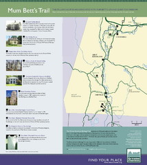
Mum Bett's Trail Map
Historic African American trail guide
65 miles away
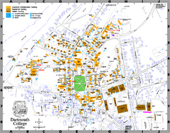
Dartmouth College campus map
Map of Dartmouth College. Shows all academic, administration, residential, and athletic buildings.
65 miles away
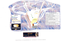
Arrowhead Arrowhead Ski Trail Map
Trail map from Arrowhead.
65 miles away
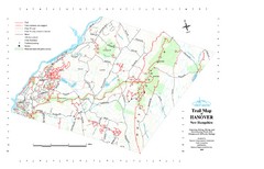
Hanover Trail Map
Recreation trails in Hanover
66 miles away
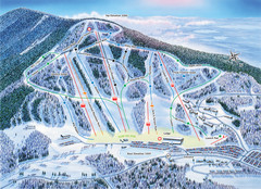
Crotched Mountain Ski Trail Map
Trail map from Crotched Mountain.
66 miles away
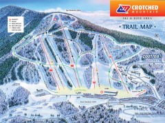
Crotched Mountain Ski Trail Map
Official ski trail map of Crotched Mountain ski area from the 2007-2008 season.
66 miles away
Royal Mountain Ski Trail Map
Trail map from Royal Mountain.
67 miles away
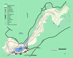
Chicopee State Park trail map
Chicopee State Park trail map
67 miles away
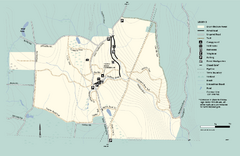
Granville State Forest trail map
Trail map of Granville State Forest in Massachusetts
67 miles away
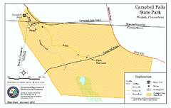
Cambell Falls State Park map
Trail map of Campbell Falls State Park Reserve in Connecticut
68 miles away
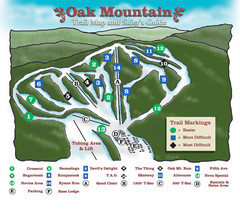
Oak Mountain Ski Center Ski Trail Map
Trail map from Oak Mountain Ski Center.
69 miles away
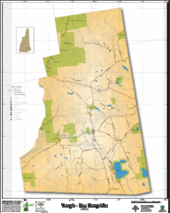
Temple NH Topo Map
Topographical map of Temple, NH area. Shows all roads and points of interest.
69 miles away
Mt. Watatic to Wachusett Mountain, Massachusetts...
69 miles away
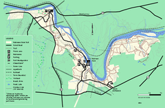
Robinson State Park trail map
Trail map of Robinson State Park in Massachusetts.
69 miles away
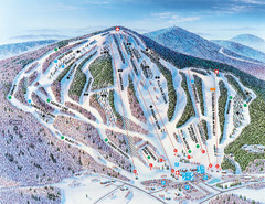
Pats Peak Ski Map
ski trail map of pats peak ski area
71 miles away
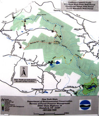
Northern Catskill Trail Map
Trail map shows hiking trails in the northern Catskills of New York. Shows trails in Windham High...
71 miles away

Six Flags New England Theme Park Map
Official Park Map of Six Flags New England in Massachusetts.
71 miles away
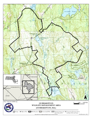
Hubbardston WMA Map
72 miles away
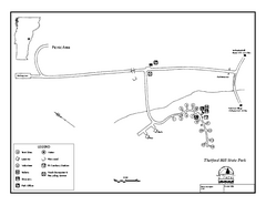
Thetford State Park Campground Map
Campground map for Thetford Hill State Park in Vermont
73 miles away
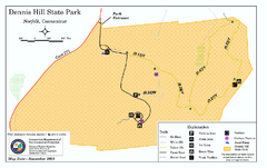
Dennis Hill State Park map
Trail map of Dennis Hill State Park in Connecticut.
74 miles away

Palmer Motorsports Park Map
Track Map for Proposed Palmer Motorsports Park
74 miles away
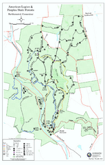
American Legion State Forest trail map
Trail map of American Legion and Peoples State Forests in Connecticut.
74 miles away
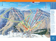
Windham Mountain Ski Trail Map
Trail map from Windham Mountain.
74 miles away

