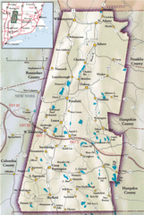
Berkshires Map
Overview map of the Berkshires region of Western Massachusetts
48 miles away
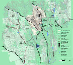
Mt. Grace State Forest trail map
Trail map of Mt. Grace State Forest near Warwick, Massachusetts.
48 miles away
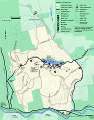
Erving Summer trail map
Summer use map of Erving State Park in Massachusetts.
49 miles away
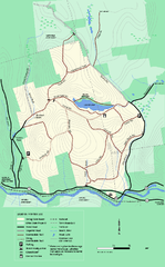
Erving State Park winter use map
Winter use map of the Erving State Park in Massachusetts
50 miles away
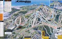
Killington Trail Map
Ski trail map
50 miles away
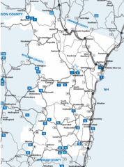
Windsor County Map
50 miles away
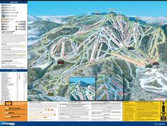
07-08 Killington Ski Trail Guide Map
Trail Map of Ski Area including lifts, runs and mountain elevation.
50 miles away
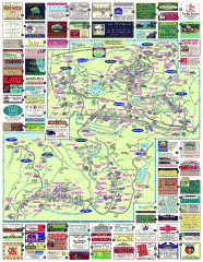
South County Berkshires map
Tourist map of Great Barrington, Housatonic, Sheffield, S. Egremont, N. Egremont Lenox, Stockbridge...
52 miles away
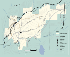
Windsor State Forest trail map
Trail map of Windsor State Forest in Massachusetts.
52 miles away
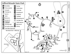
Gifford Woods State Park Campground Map
Campground map of Gifford Woods State Park in Vermont
52 miles away
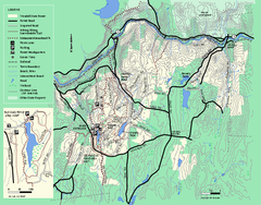
Wendell State Forest trail map
Trail map of Wendell State Forest in Massachusetts.
52 miles away
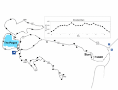
Mt. Tom road to the Pogue race course map
View Course Map and Elevations for the Mt. Tom road to the Pogue 6.1 mile run in Woodstock, VT.
54 miles away
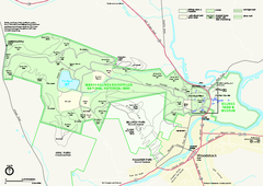
Marsh-Billings-Rockefeller National Historical...
Official NPS map of Marsh-Billings-Rockefeller National Historical Park in Vermont. Shows all areas...
54 miles away
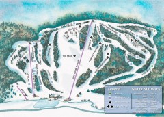
Suicide Six Ski Trail map
Ski trail map of Suicide Six ski area, owned by the Woodstock Inn in Woodstock, VT
55 miles away
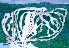
Suicide Six Ski Trail Map
Trail map from Suicide Six.
55 miles away
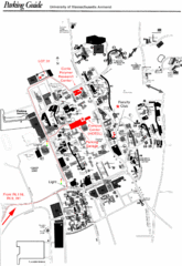
University of Massachusetts Amherst Parking Map
Map of the University of Massachusetts. Includes all buildings, streets, and parking information.
55 miles away

Camp Morgan Trail Map
55 miles away
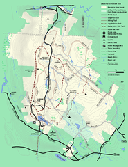
Beartown State Park Summer Map
Summer Map of Beartown State Park in Massachusetts.
55 miles away
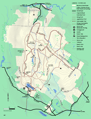
Beartown State Park Winter Map
Winter use map of Beartown State Park in Massachusetts
56 miles away
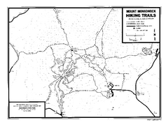
Mount Monadnock State Park Map
Official hiking map of the park. With its thousands of acres of protected highlands, 3,165-ft...
56 miles away
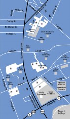
Downtown Amherst, Massachusetts Map
Tourist map of downtown Amherst, Massachusetts, showing attractions, government buildings, atms...
56 miles away
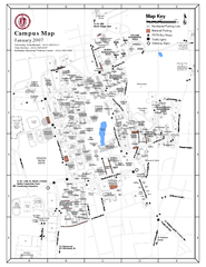
University of Massachusetts - Amherst Map
Campus Map of the University of Massachusetts - Amherst. All buildings shown.
56 miles away
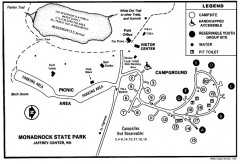
Monadnock State Park map
Campground map of Monadnock State Park in New Hampshire
56 miles away
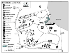
Silver Lake State Park Campground Map
Campground map of Silver Lake State Park in Vermont
57 miles away
Fort Ticonderoga 1777 Map
58 miles away
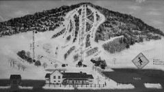
Quechee Lakes Ski Trail Map
Trail map from Quechee Lakes.
58 miles away
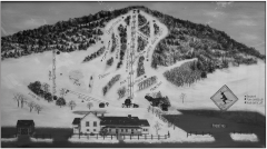
Quechee Club Ski Trail map
Official ski trail map of Quechee ski area from the 2006-2007 season.
58 miles away
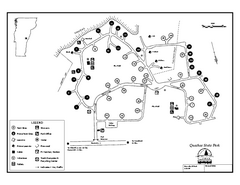
Quechee State Park map
Campground map for Quechee Gorge State Park in Vermont
58 miles away
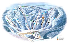
Butternut Ski Area Ski Trail Map
Trail map from Butternut Ski Area.
59 miles away
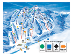
Blandford Ski Area Ski Trail Map
Trail map from Blandford Ski Area.
59 miles away
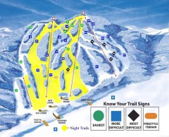
Blandford Ski Trail Map
Official ski trail map of Blandford ski area
59 miles away
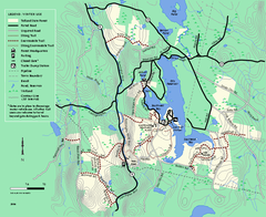
Tolland State Forest winter trail map
Winter usage trail map of the Tolland State Forest area in Massachusetts.
60 miles away
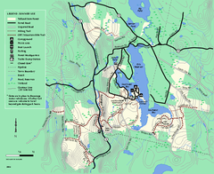
Tolland State Forest summer trail map
Summer use map for Tolland State Forest in Massachusetts.
60 miles away
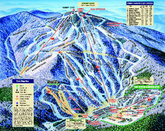
Mount Sunapee Ski Area Ski Trail Map
Trail map from Mount Sunapee Ski Area.
60 miles away
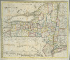
1831 Antique New York State map
The tourist's map of the state of New York : compiled from the latest authorities in the...
60 miles away
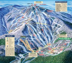
Mt. Sunapee Ski Trail Map
Official ski trail map of Mt. Sunapee ski area from the 2007-2008 season.
60 miles away
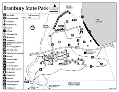
Branbury State Park map
Campground map of Branbury State Park in Vermont
61 miles away
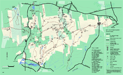
Mount Holyoke Range State Park Map
Trail map of Holyoke Range State Park.
61 miles away
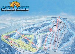
Catamount Ski Trail Map
Official ski trail map of Catamount ski area from the 2006-2007 season.
61 miles away

